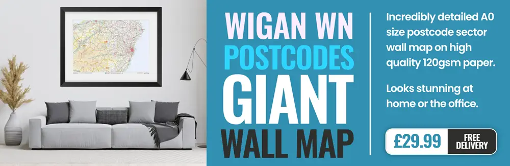
wigan WN3 Postcodes
Spending a fortune on conveyancing?

Compare instant, low-cost online quotes from trusted conveyancing solicitors.
Backed by experts, our no-obligation service searches through the best conveyancing quotes on the market to save you time and money.
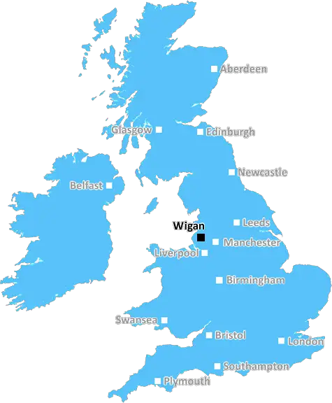
Wigan (WN3)
The WN3 postcode area is located in the Wigan postcode town region, within the county of Greater Manchester, and contains a total of 889 individual postcodes.
There are 20 electoral wards in the WN3 postcode area, including Leigh, Skelmersdale, Wigan which come under the local authority of the Wigan Council.
Combining the whole postcode region, 15% of people in WN3 are classed as having an AB social grade, (i.e. 'white-collar' middle-upper class), compared to 27% across the UK.
This does not mean that the people of WN3 are poorer than other areas, but it may give an indication that there are areas of deprivation.
WN3, or postcode district WN3, is an area within the borough of Wigan located in the North West of England.
WN3 includes the suburbs of Leigh, Lowton, Golborne, Abram, Astley, Platt Bridge, Atherton, Bleak Hey Nook, Landside, Howe Bridge, Borsdane, Macclesfield, Bryn, Marsh Green, Hindley, Union Jack and Tyldesley. It borders postcode districts WA3,WA11,WN5, M29 and M46.
The WN3 postcode district lies in an area that is historically industrial; predominantly agricultural prior to the Industrial Revolution. As a result, there is a lot of history in the district that can still be seen today. Many of the buildings are still in use, though for different purposes. In recent years, with the cultural shift away from manufacturing jobs and the rise of the service sector, WN3 has mirrored this change. More people now work in the service sector, while the WN3 area is also home to a number of retail stores, pubs and restaurants.
Education in WN3 is split between primary schools, secondary schools and colleges. Leigh Technology Academy, Abram Bryn Oldy Community School and St Peter's Catholic Primary School are the three main providers for all key stages. Higher education is available in the nearby city centre of Wigan, with the University of Bolton and Wigan and Leigh College.
WN3 offers a wide range of leisure facilities. Many homes have access to parks, or open green spaces including J.J. Leigh Park, Lowe Common Woods, the canal towpath, and penalty stripe fields. There are many smaller community parks in the area offering facilities such as play equipment, multi-use games area, basketball, football and art activities to enhance the local environment.
TheWN3 postcode district offers a unique look into England's industrial heritage, but with a modern twist. It has many facilities to suit the needs of a modern community, and is situated conveniently close to Wigan town centre for those wishing to pursue higher education or career opportunities.

Demographics
Greater Manchester

WN3 is located in the county of Greater Manchester, in England.
Greater Manchester has a total population of 2,782,100, making it the 3rd largest county in the UK.
Greater Manchester has a total area of 492 square miles, and a population density of 2180 people per square kilometre. For comparison, Greater London has a density of 5,618 people/km2.
| Outward Code | WN3 |
| Postal Town | Wigan |
| MSOA Name | Wigan 015 |
| LSOA Name | Wigan 015A |
| County | Greater Manchester |
| Region | Greater Manchester |
| Country | England |
| Local Authority | Wigan |
| Area Classification | Urban with Major Conurbation |
WN3 Electoral Wards
The postal region of WN3, includes the local towns, villages, electoral wards and stations of:
Dig even deeper into the WN3 postcode by clicking on a postcode below:
Click on an outward postal code below for more information about the area. Each 'outward' postcode give you a comprehensive list of all postcodes within the outward code area (WN) and estimated address.
Click on an 'outward' code for more information. For example, the outward postcode page 'EC2M' will give you an alphabetical list covering all postcodes located in the region, from 'EC2M 1BB' through to 'EC2M 7YA'.
Chris H
Monday, April 8, 2024
We don't have any views of WN3 right now. If you live in WN3 or have visited it, please help us to help others by telling others what you think of this neighbourhood.
Add your view of WN3
People need your local expertise. If you live in WN3 or have first-hand knowledge of the neighbourhood, please consider sharing your views. It's completely anonymous - all we ask is for your initials.
Please tell us what you like about the WN3 postcode area, what you don't like, and what it's like to live or work here.
| LOCAL AMENITIES | |
| FAMILY FRIENDLY | |
| PARKING | |
| GREEN SPACES |
From the Postcode Area blog

Deciphering Crime Rates - a Deep Dive Into UK Postcode Analysis
Ever wondered about the crime rate in your UK postcode? You're not alone. We've dug deep into the data, uncovering trends and patterns that'll make your head spin.

Death of the High Street?
The BBC reports that despite councils' attempts to kurb them, the UK's high streets have seen a huge growth in fast food outlets. Could this mark the death knell for the Great British high street, and what can we do about it to halt its decline?

Discrimination by Postcode
You really couldn't make it up, could you? Some of the country's most vulnerable people are missing out on their weekly £25 Cold Weather Payment, just because the system that's in operation is discriminating against them because payments are based on postcode, rather than geographic location.

The Redesign is Underway
Well, the current website was absolutely in dire need of a good redesign - from the ground up. So I set out to pull it all apart and get it up and running again to become the most comprehensive guide to every postcode in the UK. And it's been a long, tough job from start to finish - and quite possibly the biggest project I've ever undertaken.
SOCIAL GRADES
According to census records, 15% of people here have a social grade of AB (highest), compared to the national average of 27%.