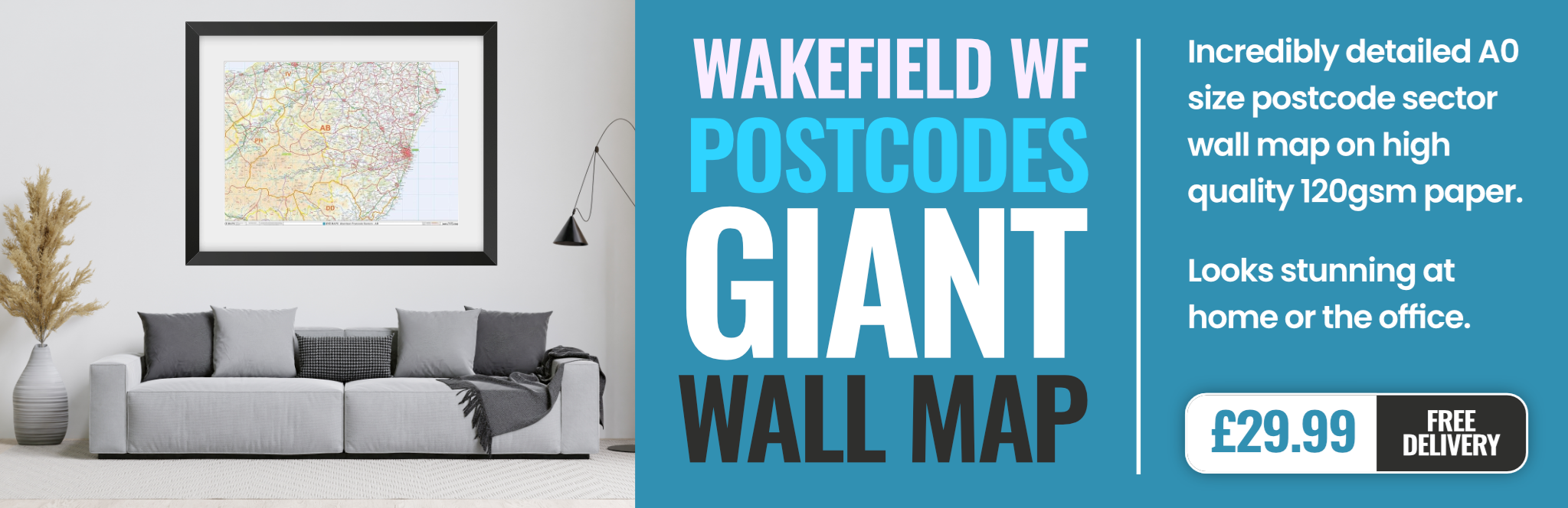
wakefield WF14 Postcodes
Spending a fortune on conveyancing?

Compare instant, low-cost online quotes from trusted conveyancing solicitors.
Backed by experts, our no-obligation service searches through the best conveyancing quotes on the market to save you time and money.
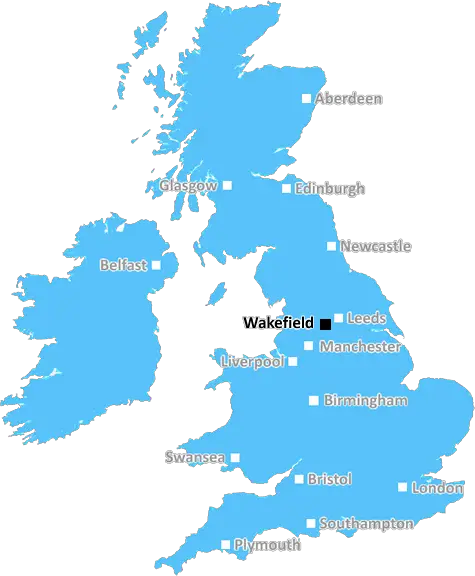
Wakefield (WF14)
The WF14 postcode area is located in the Wakefield postcode town region, within the county of West Yorkshire, and contains a total of 727 individual postcodes.
There are 27 electoral wards in the WF14 postcode area, including Batley, Castleford, Dewsbury, Heckmondwike, Knottingley, Liversedge, Mirfield, Normanton, Ossett, Pontefract, Wakefield which come under the local authority of the Kirklees Council.
Combining the whole postcode region, 22% of people in WF14 are classed as having an AB social grade, (i.e. 'white-collar' middle-upper class), compared to 27% across the UK.
This does not mean that the people of WF14 are poorer than other areas, but it may give an indication that there are areas of deprivation.
The postcode WF14 covers several neighbourhoods in the Wakefield district in West Yorkshire, England. It extends from Kew to Altofts, encompassing the urban areas of Altofts, Ackton, Calder Bank, Castleford, East Hardwick, Ferrybridge, Glasshoughton, Kippax, Cutsyke and Portobello.
Within this area there is a wide range of provision, including a choice of schools, a library, health services, marketing, leisure and entertainment, sport and recreation, shopping and other amenities. There are several parks and green spaces in the district including Altofts Park, Ackton Pastures Country Park, Glasshoughton Recreational Grounds, and Fairies Hill Nature Park.
The district is well connected and easily accessible by public transport. The nearest railway station is Glasshoughton station, while the Wakefield Westgate train station is located 6 miles away. There are several bus routes throughout the area which are operated by Arriva, First, Northern, West Yorkshire Metro and others.
WF14 is home to the Artisan Markets Calder Vale, which runs monthly and features local products such as homewares, clothing, sweet treats, homemade crafts, and artisan products. The area also hosts a number of festivals and community events throughout the year, such as Ackton Fair, East Hardwick Fun Day, Glasshoughton Gala, Castleford Castleford Festival, Fairies Hill Festival, and Kippax Fun Day.
As far as housing is concerned, the area is mostly made up of terraced homes, some cottages, and post-war flats. There are also some semi-detached and detached homes available in the area. In addition, there are several medium to large business parks which provide employment and much needed services.
WF14 is a vibrant district offering plenty of amenities and activities. As well as having some great opportunities for work and leisure, it is also within easy reach of neighbouring areas such as Leeds, York, and Manchester.

Demographics
West Yorkshire

WF14 is located in the county of West Yorkshire, in England.
West Yorkshire has a total population of 2,299,700, making it the 4th largest county in the UK.
West Yorkshire has a total area of 783 square miles, and a population density of 1133 people per square kilometre. For comparison, Greater London has a density of 5,618 people/km2.
| Outward Code | WF14 |
| Postal Town | Wakefield |
| MSOA Name | Kirklees 021 |
| LSOA Name | Kirklees 021D |
| County | West Yorkshire |
| Region | West Yorkshire |
| Country | England |
| Local Authority | Kirklees |
| Area Classification | Urban with Major Conurbation |
WF14 Electoral Wards
The postal region of WF14, includes the local towns, villages, electoral wards and stations of:
Dig even deeper into the WF14 postcode by clicking on a postcode below:
Click on an outward postal code below for more information about the area. Each 'outward' postcode give you a comprehensive list of all postcodes within the outward code area (WF) and estimated address.
Click on an 'outward' code for more information. For example, the outward postcode page 'EC2M' will give you an alphabetical list covering all postcodes located in the region, from 'EC2M 1BB' through to 'EC2M 7YA'.
Chris H
Thursday, May 9, 2024
We don't have any views of WF14 right now. If you live in WF14 or have visited it, please help us to help others by telling others what you think of this neighbourhood.
Add your view of WF14
People need your local expertise. If you live in WF14 or have first-hand knowledge of the neighbourhood, please consider sharing your views. It's completely anonymous - all we ask is for your initials.
Please tell us what you like about the WF14 postcode area, what you don't like, and what it's like to live or work here.
| LOCAL AMENITIES | |
| FAMILY FRIENDLY | |
| PARKING | |
| GREEN SPACES |
Local News West Yorkshire
Horbury: Plans to convert WW2 gas site into caf rejected
Objectors say the project would "fail to preserve the special historic interest" of the structure.
BBC NewsLeeds woman given terminal diagnosis after doctors missed tumour on scan
Leeds NHS trust says it is "deeply sorry" after Anne Shaw's cancer went undiagnosed for two years.
BBC NewsLeeds United fan injured during FA Cup tie at Chelsea
A Leeds United supporter is "in the hands of the emergency services" after appearing to fall from the stand in their FA Cup tie at Chelsea.
BBC NewsNational Coal Mining Museum hosts miners' memories of 1980s strike
Memories of the 1984 miners' strike at centre of 40th anniversary exhibition.
BBC NewsRapper Ja Rule denied UK entry ahead of Cardiff gig
The musician says his criminal record was the reason he has to shelve the British leg of his tour.
BBC NewsWakefield council tax rise agreed amid angry scenes at meeting
A Wakefield Council budget meeting is adjourned after a heated debate over spending cuts.
BBC NewsNortheast epic knock and weather foil Yorkshire
A marathon innings from Glamorgan captain Sam Northeast frustrates Yorkshire's victory bid on the final day with a little help from the weather.
BBC NewsFebruary 29: 'Leaplings' finally get to celebrate their birthdays
Three people in Yorkshire born on 29 February can only mark their "real" birthdays every four years.
BBC NewsFrom the Postcode Area blog

Deciphering Crime Rates - a Deep Dive Into UK Postcode Analysis
Ever wondered about the crime rate in your UK postcode? You're not alone. We've dug deep into the data, uncovering trends and patterns that'll make your head spin.

Death of the High Street?
The BBC reports that despite councils' attempts to kurb them, the UK's high streets have seen a huge growth in fast food outlets. Could this mark the death knell for the Great British high street, and what can we do about it to halt its decline?

Discrimination by Postcode
You really couldn't make it up, could you? Some of the country's most vulnerable people are missing out on their weekly £25 Cold Weather Payment, just because the system that's in operation is discriminating against them because payments are based on postcode, rather than geographic location.

The Redesign is Underway
Well, the current website was absolutely in dire need of a good redesign - from the ground up. So I set out to pull it all apart and get it up and running again to become the most comprehensive guide to every postcode in the UK. And it's been a long, tough job from start to finish - and quite possibly the biggest project I've ever undertaken.
SOCIAL GRADES
According to census records, 22% of people here have a social grade of AB (highest), compared to the national average of 27%.