southend-on-sea SS12 Postcodes
Spending a fortune on conveyancing?

Compare instant, low-cost online quotes from trusted conveyancing solicitors.
Backed by experts, our no-obligation service searches through the best conveyancing quotes on the market to save you time and money.
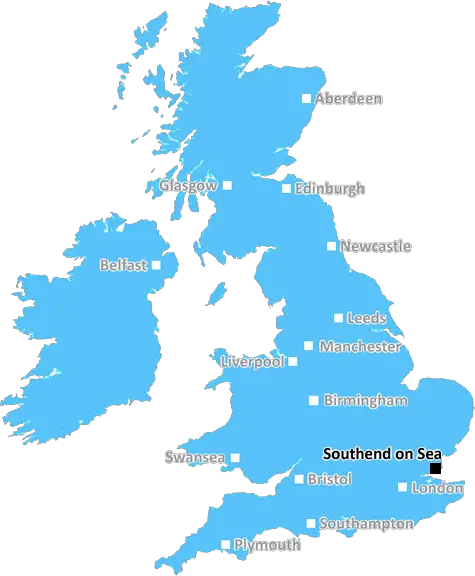
Southend On Sea (SS12)
The SS12 postcode area is located in the Southend On Sea postcode town region, within the county of Essex, and contains a total of 510 individual postcodes.
There are 7 electoral wards in the SS12 postcode area, including Basildon, Benfleet, Canvey Island, Hockley, Leigh-On-Sea, Rayleigh, Rochford, Southend-On-Sea, Stanford-Le-Hope, Westcliff-On-Sea, Wickford which come under the local authority of the Basildon Council.
Combining the whole postcode region, 20% of people in SS12 are classed as having an AB social grade, (i.e. 'white-collar' middle-upper class), compared to 27% across the UK.
This does not mean that the people of SS12 are poorer than other areas, but it may give an indication that there are areas of deprivation.
The SS12 postcode is part of South East England, in the county of Essex. It covers the towns of Wickford, Shotgate, and Basildon, as well as other surrounding areas.
The SS12 postcode covers a range of activities across the districts it encompasses. In Wickford, it includes the centre of the town, Victoria Shopping Centre, and the HQ of Wickford and Basildon Clinical Commissioning Group. In Shotgate, it includes the Shotgate Youth and Community Centre, as well as some primary schools. The postcode also includes Basildon Golf Club, as well as the Basildon Citizen Advice Bureau.
In terms of transport, SS12 covers parts of the A127 and A13 roads. It is also serviced by Basildon and Southend Victoria railway stations. Local bus services also run within the postcode, connecting commuters and visitors to the town of Wickford.
The postcode is home to a variety of leisure activities, which make use of the area's countryside. In Basildon there is the Wat Tyler Country Park, which offers 80 acres of parkland and features ponds, rivers, and a variety of wildlife habitats. The park also hosts regular activities such as orienteering, birdwatching, and family events.
The postcode also covers a variety of schools, including St Joseph's Primary School in Basildon, and Wickford Infant School in Wickford.
Sports enthusiasts can take advantage of a number of clubs and facilities within the postcode. These include Wickford Football Club which plays in the Essex Senior Football League. The postcode also features Basildon athletics track, as well as Fennells wood, a National Trust local nature reserve.
In addition to the attractions mentioned, SS12 postcode is close to popular local attractions such as Thorndon Country Park, for days out with the family. Southend Pier is also nearby, and the towns of Rayleigh and Leigh-on-Sea are located in the postcode too.

Demographics

Essex

SS12 is located in the county of Essex, in England.
Essex has a total population of 1,802,200, making it the 7th largest county in the UK.
Essex has a total area of 1417 square miles, and a population density of 491 people per square kilometre. For comparison, Greater London has a density of 5,618 people/km2.
| Outward Code | SS12 |
| Postal Town | Southend On Sea |
| MSOA Name | Basildon 008 |
| LSOA Name | Basildon 008A |
| County | Essex |
| Region | Essex |
| Country | England |
| Local Authority | Basildon |
| Area Classification | Urban with City and Town |
SS12 Electoral Wards
The postal region of SS12, includes the local towns, villages, electoral wards and stations of:
Dig even deeper into the SS12 postcode by clicking on a postcode below:
Click on an outward postal code below for more information about the area. Each 'outward' postcode give you a comprehensive list of all postcodes within the outward code area (SS) and estimated address.
Click on an 'outward' code for more information. For example, the outward postcode page 'EC2M' will give you an alphabetical list covering all postcodes located in the region, from 'EC2M 1BB' through to 'EC2M 7YA'.
Chris H
Wednesday, April 17, 2024
We don't have any views of SS12 right now. If you live in SS12 or have visited it, please help us to help others by telling others what you think of this neighbourhood.
Add your view of SS12
People need your local expertise. If you live in SS12 or have first-hand knowledge of the neighbourhood, please consider sharing your views. It's completely anonymous - all we ask is for your initials.
Please tell us what you like about the SS12 postcode area, what you don't like, and what it's like to live or work here.
| LOCAL AMENITIES | |
| FAMILY FRIENDLY | |
| PARKING | |
| GREEN SPACES |
Local News Essex
Dartford Crossing tunnels to face closures this week
There will be closures affecting the Dartford Crossing tunnels this week.
The EchoHaart opens new property centre helping clients find homes in Harlow
The UK's largest independent estate agent, haart, has opened a huge new state-of-the-art Property Centre in Harlow.
Daily GazetteTrains cancelled after weather damages lines
A weather warning is in place, with heavy rain and strong winds due throughout Monday.
BBC NewsMan admits setting fire to Harwich LV18 lightship
Christopher Parker admitted deliberately starting fires which damaged Harwich train station, two vans, and the LV18 lightship.
Daily GazetteAnger as furniture dumped by roadside near Great Horkelsey
Residents have been left angered after a large amount of home furniture was left dumped by the side of the road near Great Horkesley.
Daily GazetteStarbucks partner signs lease at Prologis Park Hemel Hempstead
Food Service Logisticshas agreed a 15-year lease at the161,134 sq ftdistribution centre.
Property WeekNetflix Baby Reindeer: Full cast list and what it's about
Baby Reindeer on Netflix was created by and stars Richard Gadd, who features alongside Jessica Gunning
Daily GazetteEssex weather: Manor Court residents forced to sleep in lobby
Top-floor residents of Manor Court, in Manor Court Road, were evacuated last night after strong winds pulled up the roof from three flats,
The EchoFrom the Postcode Area blog

Deciphering Crime Rates - a Deep Dive Into UK Postcode Analysis
Ever wondered about the crime rate in your UK postcode? You're not alone. We've dug deep into the data, uncovering trends and patterns that'll make your head spin.

Death of the High Street?
The BBC reports that despite councils' attempts to kurb them, the UK's high streets have seen a huge growth in fast food outlets. Could this mark the death knell for the Great British high street, and what can we do about it to halt its decline?

Discrimination by Postcode
You really couldn't make it up, could you? Some of the country's most vulnerable people are missing out on their weekly £25 Cold Weather Payment, just because the system that's in operation is discriminating against them because payments are based on postcode, rather than geographic location.

The Redesign is Underway
Well, the current website was absolutely in dire need of a good redesign - from the ground up. So I set out to pull it all apart and get it up and running again to become the most comprehensive guide to every postcode in the UK. And it's been a long, tough job from start to finish - and quite possibly the biggest project I've ever undertaken.
SOCIAL GRADES
According to census records, 20% of people here have a social grade of AB (highest), compared to the national average of 27%.