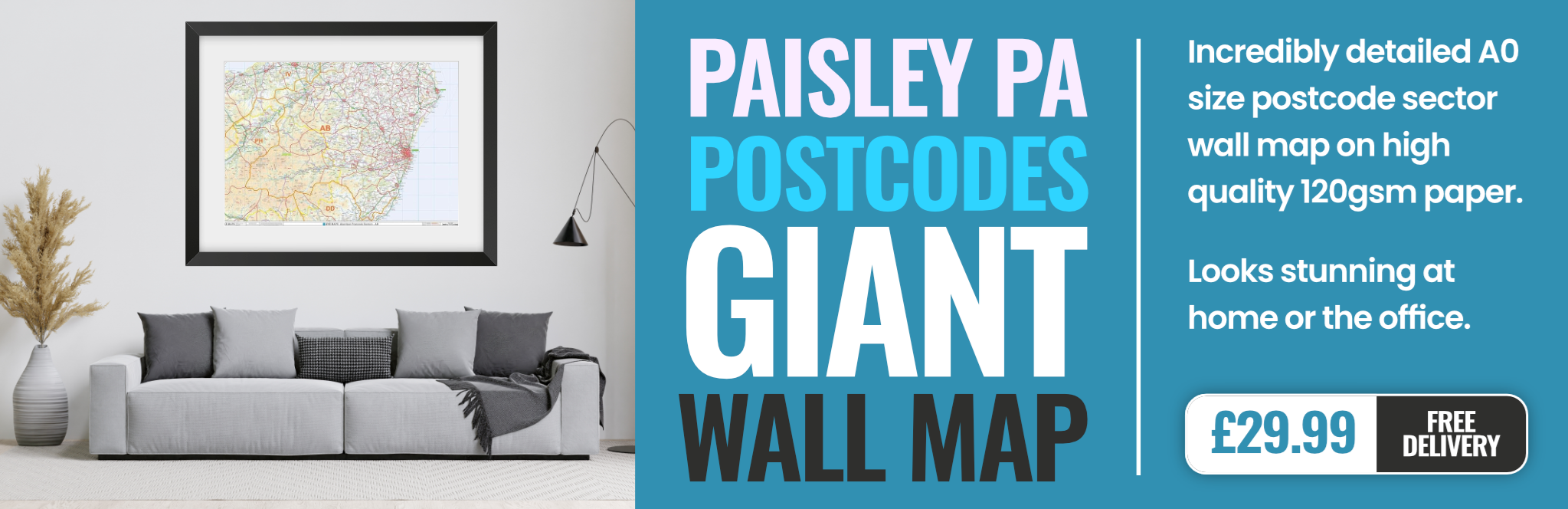
paisley PA73 Postcodes
Spending a fortune on conveyancing?

Compare instant, low-cost online quotes from trusted conveyancing solicitors.
Backed by experts, our no-obligation service searches through the best conveyancing quotes on the market to save you time and money.
Paisley (PA73)
The PA73 postcode area is located in the Paisley postcode town region, within the county of Argyllshire, and contains a total of 6 individual postcodes.
There are 14 electoral wards in the PA73 postcode area, including Appin, Bishopton, Bridge Of Orchy, Bridge Of Weir, Cairndow, Campbeltown, Colintraive, Dalmally, Dunoon, Erskine, Gourock, Greenock, Inveraray, Isle Of Bute, Isle Of Coll, Isle Of Colonsay, Isle Of Gigha, Isle Of Iona, Isle Of Islay, Isle Of Jura, Isle Of Mull, Isle Of Tiree, Johnstone, Kilmacolm, Lochgilphead, Lochwinnoch, Oban, Paisley, Port Glasgow, Renfrew, Skelmorlie, Tarbert, Taynuilt, Tighnabruaich, Wemyss Bay which come under the local authority of the Argyll & Bute Council.
Combining the whole postcode region, 0% of people in PA73 are classed as having an AB social grade, (i.e. 'white-collar' middle-upper class), compared to 27% across the UK.
This does not mean that the people of PA73 are poorer than other areas, but it may give an indication that there are areas of deprivation.
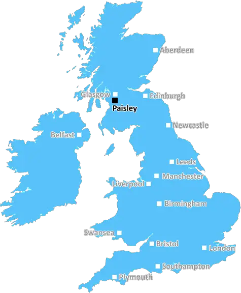
The PA73 postcode primarily covers the Paisley district in Scotland. The PA73 postcode covers the area of Paisley West and Crookston, which is located in the south-east of the town of Paisley. It runs from just south of the M8 motorway in the west to almost Pollok, near the Sustrans Northern Link cycle path in the east.
Within the PA73 postcode area, there are a range of different types of housing, ranging from modern housing estates to older, more traditional buildings. The main roads within the postcode are Kilbarchan Road, the A737 (Crookston Road) and Millarston Road.
The area is home to several churches, including Crookston Old Parish Church, St Margaret's Church and St Benedict's Church. There are also several local amenities in the postcode area, such as Gourdie Activity Centre, Crawford Memorial Park and Dougall Park. There are also several shops and restaurants located along sides of the A737.
In terms of transport, there is a frequent bus service provided by McGill's which runs through the district. The area also has good links to Glasgow and beyond, with buses running every 10-20 minutes from Paisley Gilmour Street Station. The closest railway station to the PA73 postcode is Hillington West, which is located to the south-west and connects to the city centre. Additionally, Glasgow Airport is located further east, which is easily accessible by car or bus.
Education is covered in the PA73 postcode area mainly by Paisley West Primary School, Crookston Castle Primary School and St Anthony's Primary School. A range of secondary schools are also located in nearby postcodes.
In terms of culture and leisure, there are many local attractions in the area, such as the Paisley War Memorial, the Gleniffer Braes and Cross Stane. Sports facilities are also available within the postcode, such as Barrhead Mountain Bike Centre and several local golf clubs. There is also a cinema located in the area, as well as several park and recreational areas.

Demographics
Argyllshire

PA73 is located in the county of Argyllshire, in Scotland.
Argyllshire has a total population of 0, making it the largest county in the UK.
Argyllshire has a total area of square miles, and a population density of people per square kilometre. For comparison, Greater London has a density of 5,618 people/km2.
| Outward Code | PA73 |
| Postal Town | Paisley |
| MSOA Name | Mull, Iona, Coll and Tiree |
| LSOA Name | |
| County | Argyllshire |
| Region | Argyllshire |
| Country | Scotland |
| Local Authority | Argyll & Bute |
| Area Classification | Unclassified |
PA73 Electoral Wards
The postal region of PA73, includes the local towns, villages, electoral wards and stations of:
Dig even deeper into the PA73 postcode by clicking on a postcode below:
Click on an outward postal code below for more information about the area. Each 'outward' postcode give you a comprehensive list of all postcodes within the outward code area (PA) and estimated address.
Click on an 'outward' code for more information. For example, the outward postcode page 'EC2M' will give you an alphabetical list covering all postcodes located in the region, from 'EC2M 1BB' through to 'EC2M 7YA'.
Chris H
Wednesday, March 27, 2024
We don't have any views of PA73 right now. If you live in PA73 or have visited it, please help us to help others by telling others what you think of this neighbourhood.
Add your view of PA73
People need your local expertise. If you live in PA73 or have first-hand knowledge of the neighbourhood, please consider sharing your views. It's completely anonymous - all we ask is for your initials.
Please tell us what you like about the PA73 postcode area, what you don't like, and what it's like to live or work here.
| LOCAL AMENITIES | |
| FAMILY FRIENDLY | |
| PARKING | |
| GREEN SPACES |
From the Postcode Area blog

Deciphering Crime Rates - a Deep Dive Into UK Postcode Analysis
Ever wondered about the crime rate in your UK postcode? You're not alone. We've dug deep into the data, uncovering trends and patterns that'll make your head spin.

Death of the High Street?
The BBC reports that despite councils' attempts to kurb them, the UK's high streets have seen a huge growth in fast food outlets. Could this mark the death knell for the Great British high street, and what can we do about it to halt its decline?

Discrimination by Postcode
You really couldn't make it up, could you? Some of the country's most vulnerable people are missing out on their weekly £25 Cold Weather Payment, just because the system that's in operation is discriminating against them because payments are based on postcode, rather than geographic location.

The Redesign is Underway
Well, the current website was absolutely in dire need of a good redesign - from the ground up. So I set out to pull it all apart and get it up and running again to become the most comprehensive guide to every postcode in the UK. And it's been a long, tough job from start to finish - and quite possibly the biggest project I've ever undertaken.
SOCIAL GRADES
According to census records, 0% of people here have a social grade of AB (highest), compared to the national average of 27%.