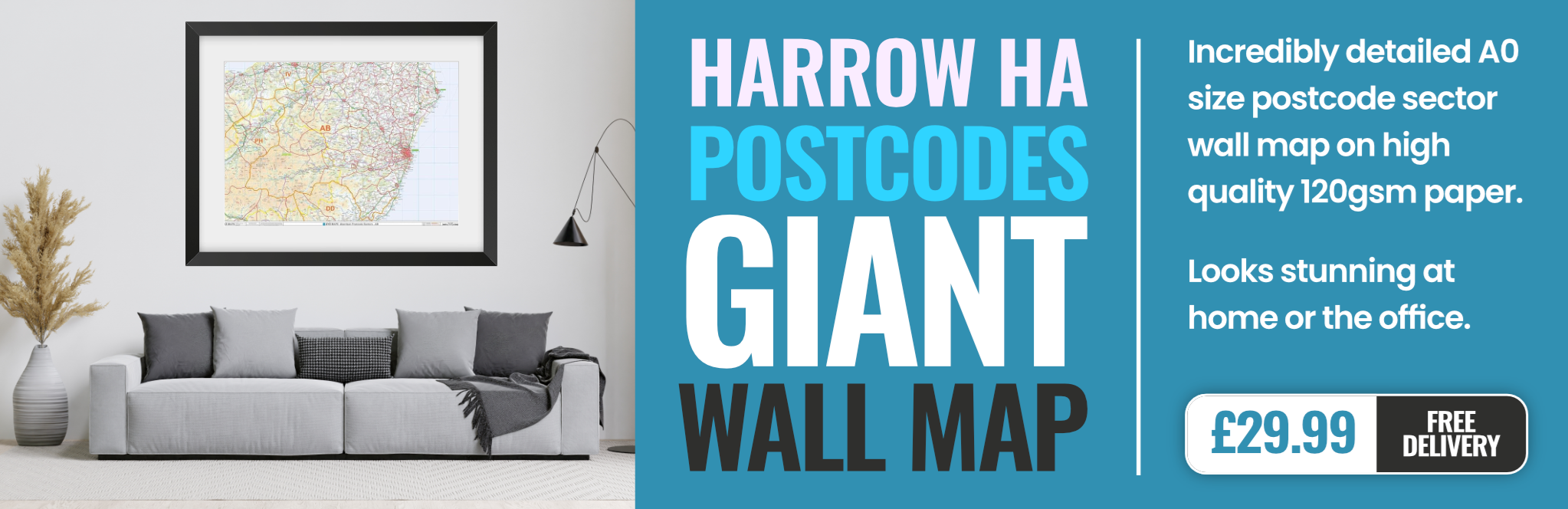
harrow HA4 Postcodes
Spending a fortune on conveyancing?

Compare instant, low-cost online quotes from trusted conveyancing solicitors.
Backed by experts, our no-obligation service searches through the best conveyancing quotes on the market to save you time and money.
Harrow (HA4)
The HA4 postcode area is located in the Harrow postcode town region, within the county of Greater London, and contains a total of 1752 individual postcodes.
There are 12 electoral wards in the HA4 postcode area, including Edgware, Harrow, Northwood, Pinner, Ruislip, Stanmore, Wembley which come under the local authority of the Hillingdon Council.
Combining the whole postcode region, 29% of people in HA4 are classed as having an AB social grade, (i.e. 'white-collar' middle-upper class), compared to 27% across the UK.
This does not mean that the people of HA4 are wealthier - or higher class - than average, but it can be an indication that the area may be prospering and desirable to live in.
The HA4 postcode identifies an area in the Harrow district of Greater London. Traditionally, the area was part of the Municipal Borough of Harrow, however, with the creation of the London Borough of Harrow in 1965 it has since been a part of this administrative region.
The HA4 postcode is located in the south west part of the Harrow district, bordering Middlesex to the west. Geographically, the area covers 8.7 square miles, and is mostly suburban with some countryside mixed in. It is bordered by the neighbouring postcodes of HA1, HA3, UB5 and UB6.
In terms of population, the HA4 postcode is highly varied. According to the 2011 census, the postcode was home to just over 66,000 people; 39% of whom are of South Asian heritage. In terms of housing, the HA4 postcode is made up of large bungalows, substantial family homes, detached and semi-detached houses, as well as some converted flats.
Residents of HA4 are well catered for in terms of shopping locations, with multiple supermarkets such as Waitrose, Sainsbury's and Costa located in the area. There are also a number of eateries and retail stores which provide residents with the opportunity to purchase goods and services. Additionally, local green areas such as Canons Park and Stanmore Country Park provide beautiful surroundings for outdoor recreation.
In terms of transport, the HA4 postcode is well catered for. It is located close to the M1 motorway and there are a number of railway stations in the area that offer direct services to London Terminals. Furthermore, numerous bus routes link the area with other areas of Harrow, neighbouring districts and nearby towns.
In terms of education, there are a number of schools within the HA4 postcode including Canons High School, Park High School and Hatch End High School, as well as a number of primary schools. Additional education facilities such as The Mandeville School, College and Institute can also be located within the postcode.

Demographics
Greater London

HA4 is located in the county of Greater London, in England.
Greater London has a total population of 8,778,500, making it the 1st largest county in the UK.
Greater London has a total area of 606 square miles, and a population density of 5594 people per square kilometre. For comparison, Greater London has a density of 5,618 people/km2.

| Outward Code | HA4 |
| Postal Town | Harrow |
| MSOA Name | Hillingdon 007 |
| LSOA Name | Hillingdon 007D |
| County | Greater London |
| Region | Greater London |
| Country | England |
| Local Authority | Hillingdon |
| Area Classification | Urban with Major Conurbation |
HA4 Electoral Wards
The postal region of HA4, includes the local towns, villages, electoral wards and stations of:
Dig even deeper into the HA4 postcode by clicking on a postcode below:
Click on an outward postal code below for more information about the area. Each 'outward' postcode give you a comprehensive list of all postcodes within the outward code area (HA) and estimated address.
Click on an 'outward' code for more information. For example, the outward postcode page 'EC2M' will give you an alphabetical list covering all postcodes located in the region, from 'EC2M 1BB' through to 'EC2M 7YA'.
Chris H
Tuesday, May 7, 2024
We don't have any views of HA4 right now. If you live in HA4 or have visited it, please help us to help others by telling others what you think of this neighbourhood.
Add your view of HA4
People need your local expertise. If you live in HA4 or have first-hand knowledge of the neighbourhood, please consider sharing your views. It's completely anonymous - all we ask is for your initials.
Please tell us what you like about the HA4 postcode area, what you don't like, and what it's like to live or work here.
| LOCAL AMENITIES | |
| FAMILY FRIENDLY | |
| PARKING | |
| GREEN SPACES |
From the Postcode Area blog

Deciphering Crime Rates - a Deep Dive Into UK Postcode Analysis
Ever wondered about the crime rate in your UK postcode? You're not alone. We've dug deep into the data, uncovering trends and patterns that'll make your head spin.

Death of the High Street?
The BBC reports that despite councils' attempts to kurb them, the UK's high streets have seen a huge growth in fast food outlets. Could this mark the death knell for the Great British high street, and what can we do about it to halt its decline?

Discrimination by Postcode
You really couldn't make it up, could you? Some of the country's most vulnerable people are missing out on their weekly £25 Cold Weather Payment, just because the system that's in operation is discriminating against them because payments are based on postcode, rather than geographic location.

The Redesign is Underway
Well, the current website was absolutely in dire need of a good redesign - from the ground up. So I set out to pull it all apart and get it up and running again to become the most comprehensive guide to every postcode in the UK. And it's been a long, tough job from start to finish - and quite possibly the biggest project I've ever undertaken.
SOCIAL GRADES
According to census records, 29% of people here have a social grade of AB (highest), compared to the national average of 27%.