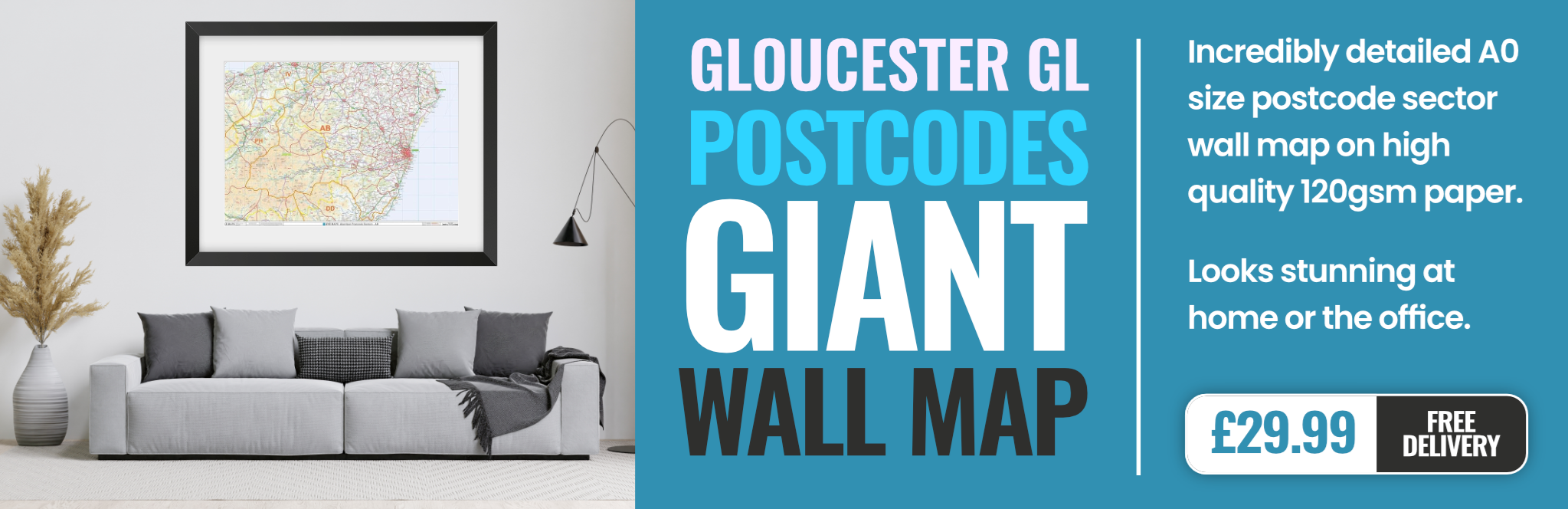
gloucester GL4 Postcodes
Spending a fortune on conveyancing?

Compare instant, low-cost online quotes from trusted conveyancing solicitors.
Backed by experts, our no-obligation service searches through the best conveyancing quotes on the market to save you time and money.
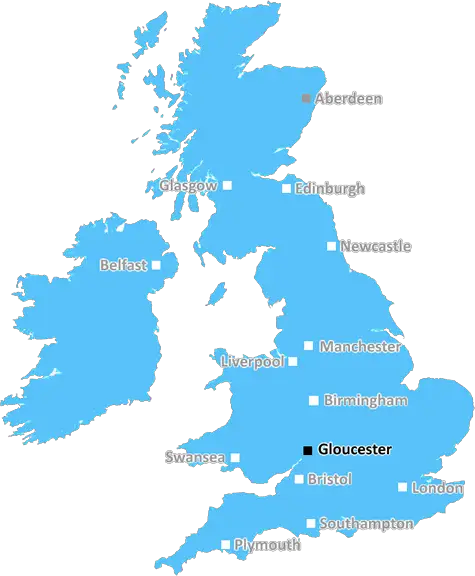
Gloucester (GL4)
The GL4 postcode area is located in the Gloucester postcode town region, within the county of Gloucestershire, and contains a total of 2122 individual postcodes.
There are 56 electoral wards in the GL4 postcode area, including Badminton, Berkeley, Blakeney, Cheltenham, Chipping Campden, Cinderford, Cirencester, Coleford, Drybrook, Dursley, Dymock, Fairford, Gloucester, Lechlade, Longhope, Lydbrook, Lydney, Mitcheldean, Moreton-In-Marsh, Newent, Newnham, Ruardean, Stonehouse, Stroud, Tetbury, Tewkesbury, Westbury-On-Severn, Wotton-Under-Edge which come under the local authority of the Gloucester Council.
Combining the whole postcode region, 19% of people in GL4 are classed as having an AB social grade, (i.e. 'white-collar' middle-upper class), compared to 27% across the UK.
This does not mean that the people of GL4 are poorer than other areas, but it may give an indication that there are areas of deprivation.
The GL4 postcode district is a UK postal code area which covers part of Gloucester, a historic city in the South West of England. It is a mixed urban and rural area, with the outer parts of the district including countryside villages and areas with small towns.
The postcode GL4 covers the majority of the city centre, including the cathedral and main shopping streets, as well as surrounding suburbs and villages. In the outer parts of GL4, it also covers small villages such as Longford, Nupend and Bendens (a former railway station). The district includes parts of the M5 and M4 motorways and the A48 road.
The GL4 area is served by multiple bus services, as well as by two main railway stations in the city: Gloucester station and Eastgate station. These both have regular services to London and other major cities.
The population of GL4 is estimated to be around 58,000. It is a diverse area, with a mix of different ages, ethnicities, incomes and abilities. As such, there is a wide variety of leisure activities and attractions on offer in the area, with many parks, historic buildings, sports and cultural facilities.
The University of Gloucestershire is also located in the district, as well as a number of local colleges and schools. There are a range of shopping options in the area, from independent stores to the major supermarkets, and there are a few pubs and bars, but not an overly bustling nightlife.
The GL4 postcode district overall has a friendly atmosphere and is known as a safe area. It is a great place to live due to all it has to offer.

Demographics
Gloucestershire

GL4 is located in the county of Gloucestershire, in England.
Gloucestershire has a total population of 900,800, making it the 23rd largest county in the UK.
Gloucestershire has a total area of 1216 square miles, and a population density of 285 people per square kilometre. For comparison, Greater London has a density of 5,618 people/km2.
| Outward Code | GL4 |
| Postal Town | Gloucester |
| MSOA Name | Gloucester 012 |
| LSOA Name | Gloucester 012A |
| County | Gloucestershire |
| Region | Gloucestershire |
| Country | England |
| Local Authority | Gloucester |
| Area Classification | Urban with City and Town |
GL4 Electoral Wards
The postal region of GL4, includes the local towns, villages, electoral wards and stations of:
Dig even deeper into the GL4 postcode by clicking on a postcode below:
Click on an outward postal code below for more information about the area. Each 'outward' postcode give you a comprehensive list of all postcodes within the outward code area (GL) and estimated address.
Click on an 'outward' code for more information. For example, the outward postcode page 'EC2M' will give you an alphabetical list covering all postcodes located in the region, from 'EC2M 1BB' through to 'EC2M 7YA'.
Chris H
Monday, April 8, 2024
We don't have any views of GL4 right now. If you live in GL4 or have visited it, please help us to help others by telling others what you think of this neighbourhood.
Add your view of GL4
People need your local expertise. If you live in GL4 or have first-hand knowledge of the neighbourhood, please consider sharing your views. It's completely anonymous - all we ask is for your initials.
Please tell us what you like about the GL4 postcode area, what you don't like, and what it's like to live or work here.
| LOCAL AMENITIES | |
| FAMILY FRIENDLY | |
| PARKING | |
| GREEN SPACES |
Local News Gloucestershire
Crewe Alexandra 0-3 Forest Green Rovers
Forest Green stun promotion-chasing Crewe as Jordan Garrick strikes twice in a 3-0 win.
BBC NewsJones and Lewis extend Gloucester-Hartpury deals
Ireland and Wales internationals Neve Jones and Bethan Lewis sign new deals to stay with Gloucester-Hartpury, along with Carmen Castelluci.
BBC NewsForest Green Rovers 0-3 Stockport County
Stockport storm to a convincing victory at basement side Forest Green, taking top spot in the process.
BBC NewsRelive Monday's League One & Two action
Aaron Collins scores a hat-trick for Bolton and Carlisle move closer to relegation - relive Monday's games in League One and League Two.
BBC NewsLeyton Orient 3-1 Cheltenham Town
Leyton Orient find their shooting boots to inflict a League One defeat on relegation-haunted Cheltenham.
BBC NewsWarning ahead of fresh round of train strikes
Passengers told to plan ahead as rail and underground services to be hit by weekend walkouts.
BBC NewsResidents oppose plans at stone crushing site
The firm Allstone wants to expand but residents say it could increase dust and noise levels.
BBC NewsWitness sought after dog killed by cyclist in park
A chihuahua was killed instantly in a park while it was off lead alongside a path, police said.
BBC NewsFrom the Postcode Area blog

Deciphering Crime Rates - a Deep Dive Into UK Postcode Analysis
Ever wondered about the crime rate in your UK postcode? You're not alone. We've dug deep into the data, uncovering trends and patterns that'll make your head spin.

Death of the High Street?
The BBC reports that despite councils' attempts to kurb them, the UK's high streets have seen a huge growth in fast food outlets. Could this mark the death knell for the Great British high street, and what can we do about it to halt its decline?

Discrimination by Postcode
You really couldn't make it up, could you? Some of the country's most vulnerable people are missing out on their weekly £25 Cold Weather Payment, just because the system that's in operation is discriminating against them because payments are based on postcode, rather than geographic location.

The Redesign is Underway
Well, the current website was absolutely in dire need of a good redesign - from the ground up. So I set out to pull it all apart and get it up and running again to become the most comprehensive guide to every postcode in the UK. And it's been a long, tough job from start to finish - and quite possibly the biggest project I've ever undertaken.
SOCIAL GRADES
According to census records, 19% of people here have a social grade of AB (highest), compared to the national average of 27%.