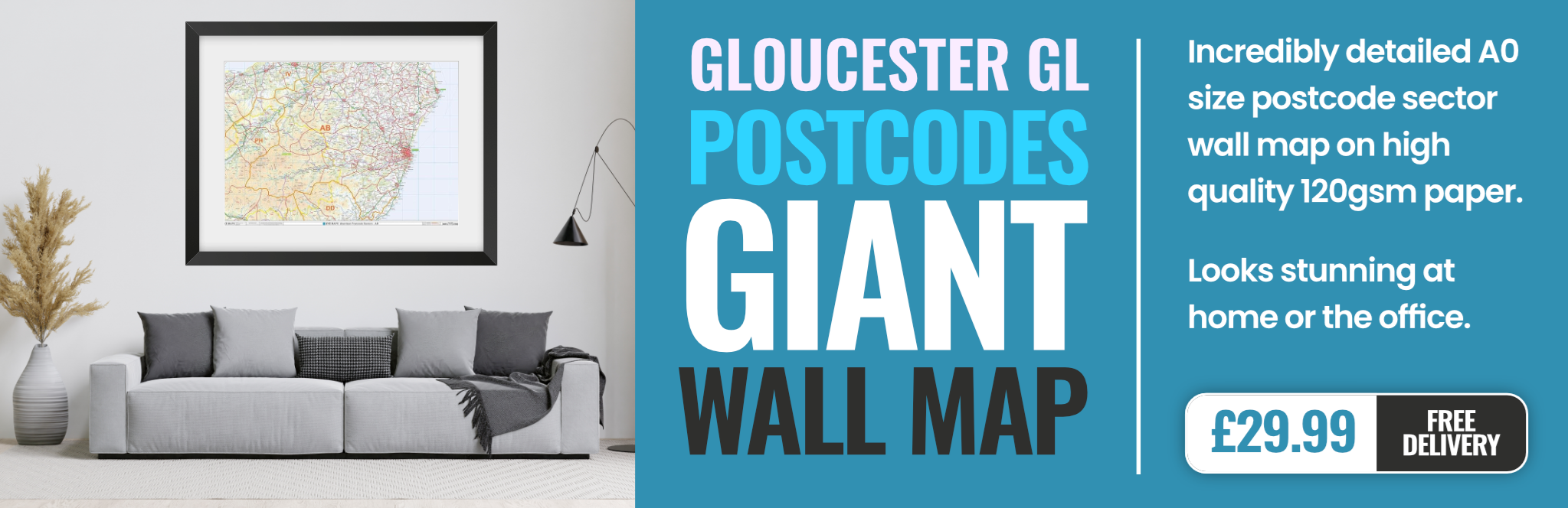
gloucester GL19 Postcodes
Spending a fortune on conveyancing?

Compare instant, low-cost online quotes from trusted conveyancing solicitors.
Backed by experts, our no-obligation service searches through the best conveyancing quotes on the market to save you time and money.
Gloucester (GL19)
The GL19 postcode area is located in the Gloucester postcode town region, within the county of Gloucestershire, and contains a total of 424 individual postcodes.
There are 132 electoral wards in the GL19 postcode area, including Badminton, Berkeley, Blakeney, Cheltenham, Chipping Campden, Cinderford, Cirencester, Coleford, Drybrook, Dursley, Dymock, Fairford, Gloucester, Lechlade, Longhope, Lydbrook, Lydney, Mitcheldean, Moreton-In-Marsh, Newent, Newnham, Ruardean, Stonehouse, Stroud, Tetbury, Tewkesbury, Westbury-On-Severn, Wotton-Under-Edge which come under the local authority of the Forest of Dean Council.
Combining the whole postcode region, 29% of people in GL19 are classed as having an AB social grade, (i.e. 'white-collar' middle-upper class), compared to 27% across the UK.
This does not mean that the people of GL19 are wealthier - or higher class - than average, but it can be an indication that the area may be prospering and desirable to live in.
The GL19 postcode covers a wide area in the Gloucester district, spanning the regions of Tewkesbury, the Forest of Dean, and Gloucester itself.
Tewkesbury is a historic market town in the county of Gloucestershire, historically known for its medieval buildings and for being the site of the Battle of Tewkesbury in the Wars of the Roses. The area is also popular with tourists for its lovely countryside, including its many nature reserves.
The Forest of Dean is a large woodland located in the county of Gloucestershire. It is an ancient royal forest and Site of Special Scientific Interest, with walking, cycling, fishing, and pony trekking activities available.
Gloucester is the largest city in the region and the capital of the county. It is a cathedral city and an important port, with numerous historic buildings and attractions. It is also home to a variety of shops, restaurants and bars, and it is a great place to visit for day trips, shopping, theatre, and dining.
The GL19 postcode encompasses a variety of neighbourhoods, including Alney Island, Longford, Lower Heath, and Haywards Hill, as well as the villages of Whittington, Bredon, Teddington, and Kemerton.
In terms of transport links, the region is served by the M5 motorway and the A38, as well as several bus routes. Gloucester railway station is within the GL19 postcode area, serving passengers travelling to Birmingham, Bristol, Cardiff and London. The nearest airport is Gloucestershire Airport, located 3.4 miles away.
The postcode region is also home to numerous schools including Tewkesbury School, Newent Community School, Tredworth Infant and Nursery School, and Elmbridge Primary School. In terms of medical centres, there is the Tewkesbury Health Centre, Elchem (Tewkesbury), and Greenwood Park Practice in Gloucester.
In terms of parks and leisure activities, there is the Tewkesbury Abbey Orchard, Tewkesbury Park, Robinswood Hill Country Park, and the Severn Valley Railway. There are also regional sporting teams such as the Gloucester Rugby team, Tewkesbury Town F.C, and Tewkesbury Roadrunners.
The postcode area is also home to many places of religious worship including Tewkesbury Abbey, Tewkesbury Quaker Meeting House, Gloucester Cathedral, St Mary de Crypt Church, and Gloucester Methodist Church.

Demographics
Gloucestershire

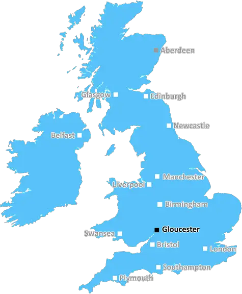
GL19 is located in the county of Gloucestershire, in England.
Gloucestershire has a total population of 900,800, making it the 23rd largest county in the UK.
Gloucestershire has a total area of 1216 square miles, and a population density of 285 people per square kilometre. For comparison, Greater London has a density of 5,618 people/km2.
| Outward Code | GL19 |
| Postal Town | Gloucester |
| MSOA Name | Forest of Dean 001 |
| LSOA Name | Forest of Dean 001E |
| County | Gloucestershire |
| Region | Gloucestershire |
| Country | England |
| Local Authority | Forest of Dean |
| Area Classification | Mainly Rural (rural including hub towns >=80%) |
GL19 Electoral Wards
The postal region of GL19, includes the local towns, villages, electoral wards and stations of:
Dig even deeper into the GL19 postcode by clicking on a postcode below:
Click on an outward postal code below for more information about the area. Each 'outward' postcode give you a comprehensive list of all postcodes within the outward code area (GL) and estimated address.
Click on an 'outward' code for more information. For example, the outward postcode page 'EC2M' will give you an alphabetical list covering all postcodes located in the region, from 'EC2M 1BB' through to 'EC2M 7YA'.
Chris H
Saturday, April 6, 2024
We don't have any views of GL19 right now. If you live in GL19 or have visited it, please help us to help others by telling others what you think of this neighbourhood.
Add your view of GL19
People need your local expertise. If you live in GL19 or have first-hand knowledge of the neighbourhood, please consider sharing your views. It's completely anonymous - all we ask is for your initials.
Please tell us what you like about the GL19 postcode area, what you don't like, and what it's like to live or work here.
| LOCAL AMENITIES | |
| FAMILY FRIENDLY | |
| PARKING | |
| GREEN SPACES |
Local News Gloucestershire
Witness sought after dog killed by cyclist in park
A chihuahua was killed instantly in a park while it was off lead alongside a path, police said.
BBC NewsCheltenham Town 1-2 Exeter City
Exeter hit back from a goal down to claim a last-gasp 2-1 win at relegation-threatened Cheltenham in League One.
BBC NewsL1 & L2: Wins for Pompey, Derby and Carlisle; Wrexham beat Mansfield; Stockport go top
Follow live text commentary and score updates from League One and League Two.
BBC NewsJones and Lewis extend Gloucester-Hartpury deals
Ireland and Wales internationals Neve Jones and Bethan Lewis sign new deals to stay with Gloucester-Hartpury, along with Carmen Castelluci.
BBC NewsEverything you need to know about the Gloucestershire PCC election
Residents will vote on the person who oversees Gloucestershire Police in an election on 2 May.
BBC NewsL1 & L2: Wins for Pompey, Derby and Carlisle; Wrexham beat Mansfield; Stockport go top
Follow live text commentary and score updates from League One and League Two.
BBC NewsCall to reject 'monstrous carbuncle' housing plan
A community group is objecting to plans to build 153 homes on a Cheltenham car park.
BBC NewsResidents oppose plans at stone crushing site
The firm Allstone wants to expand but residents say it could increase dust and noise levels.
BBC NewsFrom the Postcode Area blog

Deciphering Crime Rates - a Deep Dive Into UK Postcode Analysis
Ever wondered about the crime rate in your UK postcode? You're not alone. We've dug deep into the data, uncovering trends and patterns that'll make your head spin.

Death of the High Street?
The BBC reports that despite councils' attempts to kurb them, the UK's high streets have seen a huge growth in fast food outlets. Could this mark the death knell for the Great British high street, and what can we do about it to halt its decline?

Discrimination by Postcode
You really couldn't make it up, could you? Some of the country's most vulnerable people are missing out on their weekly £25 Cold Weather Payment, just because the system that's in operation is discriminating against them because payments are based on postcode, rather than geographic location.

The Redesign is Underway
Well, the current website was absolutely in dire need of a good redesign - from the ground up. So I set out to pull it all apart and get it up and running again to become the most comprehensive guide to every postcode in the UK. And it's been a long, tough job from start to finish - and quite possibly the biggest project I've ever undertaken.
SOCIAL GRADES
According to census records, 29% of people here have a social grade of AB (highest), compared to the national average of 27%.