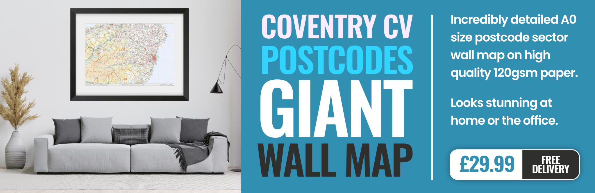
coventry CV8 Postcodes
Spending a fortune on conveyancing?

Compare instant, low-cost online quotes from trusted conveyancing solicitors.
Backed by experts, our no-obligation service searches through the best conveyancing quotes on the market to save you time and money.
Coventry (CV8)
The CV8 postcode area is located in the Coventry postcode town region, within the county of Warwickshire, and contains a total of 1085 individual postcodes.
There are 73 electoral wards in the CV8 postcode area, including Atherstone, Bedworth, Coventry, Kenilworth, Leamington Spa, Nuneaton, Rugby, Shipston-On-Stour, Southam, Stratford-Upon-Avon, Warwick which come under the local authority of the Warwick Council.
Combining the whole postcode region, 40% of people in CV8 are classed as having an AB social grade, (i.e. 'white-collar' middle-upper class), compared to 27% across the UK.
This does not mean that the people of CV8 are wealthier - or higher class - than average, but it can be an indication that the area may be prospering and desirable to live in.
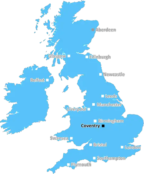
CV8 postcode is located in the Coventry district of the West Midlands in England. It is situated in the Warwickshire county, close to the borders with Leicestershire and Staffordshire, and around 8 miles east of Birmingham City Centre.
The area is home to the Kenilworth Castle, Hatton Country World, Ryton Organic Gardens as well as the Coventry Motor Museum. There are many rural villages such as Ansty, Burton Green and Hill Wootton, offering a scenic and historic setting. Stoneleigh Park is a popular area for a large number of businesses and also the venue for major events on a regular basis.
CV8 is well served by public transport with regular services from the Coventry railway station to London and many other cities, as well as easy access to the M6 motorway and Coventry Airport.
The postcode district comprises a population of around 17,000 people and is mainly residential with some significant business premises in the area. It enjoys a rural character with a mix of detached homes, new builds, some large housing estates and small villages.
Like many other areas, CV8 has a number of excellent schools focusing on the arts, sciences and technology, along with a range of other educational facilities.
There are a good number of pubs, restaurants and shops located within the postcode area, along with a post office, library and leisure centres too. Green spaces are also in abundance, providing residents with the opportunity to explore a range of wildlife, beautiful parks and gardens as well as canal towpaths and cycle trails.
The postcode area is particularly popular due to its excellent transport links, variety of educational establishments and cultural heritage. With the constant development of new housing, the population of the postcode will continue to grow, ensuring the affluent residential area remains desirable and popular with both locals and visitors.

Demographics
Warwickshire

CV8 is located in the county of Warwickshire, in England.
Warwickshire has a total population of 556,800, making it the 39th largest county in the UK.
Warwickshire has a total area of 763 square miles, and a population density of 281 people per square kilometre. For comparison, Greater London has a density of 5,618 people/km2.
| Outward Code | CV8 |
| Postal Town | Coventry |
| MSOA Name | Warwick 001 |
| LSOA Name | Warwick 001E |
| County | Warwickshire |
| Region | Warwickshire |
| Country | England |
| Local Authority | Warwick |
| Area Classification | Urban with City and Town |
CV8 Electoral Wards
The postal region of CV8, includes the local towns, villages, electoral wards and stations of:
Dig even deeper into the CV8 postcode by clicking on a postcode below:
Click on an outward postal code below for more information about the area. Each 'outward' postcode give you a comprehensive list of all postcodes within the outward code area (CV) and estimated address.
Click on an 'outward' code for more information. For example, the outward postcode page 'EC2M' will give you an alphabetical list covering all postcodes located in the region, from 'EC2M 1BB' through to 'EC2M 7YA'.
Chris H
Tuesday, May 7, 2024
We don't have any views of CV8 right now. If you live in CV8 or have visited it, please help us to help others by telling others what you think of this neighbourhood.
Add your view of CV8
People need your local expertise. If you live in CV8 or have first-hand knowledge of the neighbourhood, please consider sharing your views. It's completely anonymous - all we ask is for your initials.
Please tell us what you like about the CV8 postcode area, what you don't like, and what it's like to live or work here.
| LOCAL AMENITIES | |
| FAMILY FRIENDLY | |
| PARKING | |
| GREEN SPACES |
Local News Warwickshire
Council's new Biodiversity Action Programme agreed
A new programme recognising the need to improve and enhance biodiversity in Warwick District has just been agreed.
Warwick District CouncilNHS problems leave new doctors without jobs
The NHS needs more doctors so why have some medical students been left in limbo waiting for a job?
BBC NewsIs the future of voting online?
An online voting system is already being used in the Coventry University Students Union.
BBC NewsMilitary Heritage Trail launches in Warwick
A new heritage trail guiding visitors on an exciting tour of Warwick's military museums has just launched.
Warwick District CouncilDeadline to apply for a free photo ID is fast approaching
Time is running out to apply for a free voter ID for the Warwickshire Police and Crime Commissioner election taking place across Warwick District and Leamington Clarendon Ward by-election on Thursday &hellip
Warwick District CouncilRail disruption between Birmingham and London
A number of Chiltern Railways services between Birmingham and London are cancelled.
BBC NewsLabour condemns 'racist remark' by party source
The Conservatives also describe as "vile" the comment made in the West Midlands mayoralty race.
BBC NewsLabour gains control of Nuneaton and Bedworth
The party is back in charge of the council for the first time since 2018.
BBC NewsFrom the Postcode Area blog

Deciphering Crime Rates - a Deep Dive Into UK Postcode Analysis
Ever wondered about the crime rate in your UK postcode? You're not alone. We've dug deep into the data, uncovering trends and patterns that'll make your head spin.

Death of the High Street?
The BBC reports that despite councils' attempts to kurb them, the UK's high streets have seen a huge growth in fast food outlets. Could this mark the death knell for the Great British high street, and what can we do about it to halt its decline?

Discrimination by Postcode
You really couldn't make it up, could you? Some of the country's most vulnerable people are missing out on their weekly £25 Cold Weather Payment, just because the system that's in operation is discriminating against them because payments are based on postcode, rather than geographic location.

The Redesign is Underway
Well, the current website was absolutely in dire need of a good redesign - from the ground up. So I set out to pull it all apart and get it up and running again to become the most comprehensive guide to every postcode in the UK. And it's been a long, tough job from start to finish - and quite possibly the biggest project I've ever undertaken.
SOCIAL GRADES
According to census records, 40% of people here have a social grade of AB (highest), compared to the national average of 27%.