bristol BS2 Postcodes
Spending a fortune on conveyancing?

Compare instant, low-cost online quotes from trusted conveyancing solicitors.
Backed by experts, our no-obligation service searches through the best conveyancing quotes on the market to save you time and money.
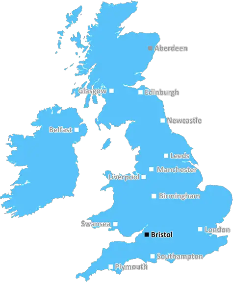
Bristol (BS2)
The BS2 postcode area is located in the Bristol postcode town region, within the county of Avon, and contains a total of 892 individual postcodes.
There are 9 electoral wards in the BS2 postcode area, including Axbridge, Banwell, Bristol, Cheddar, Clevedon, Wedmore, Weston-Super-Mare, Winscombe which come under the local authority of the Bristol, City of Council.
Combining the whole postcode region, 24% of people in BS2 are classed as having an AB social grade, (i.e. 'white-collar' middle-upper class), compared to 27% across the UK.
This does not mean that the people of BS2 are poorer than other areas, but it may give an indication that there are areas of deprivation.
The BS2 postcode is in the north-eastern part of the Bristol district, with a population of over 13,000 people. It covers the St Paul's, St Agnes and Kingsdown areas and parts of Eastville and St George, including Purdown. It is part of the City of Bristol Unitary Authority and falls under the responsibility of the Bristol City Council.
The local amenities consist of parks, shops, supermarkets, schools and leisure facilities. The area is served by two railway stations � Lawrence Hill and Stapleton Road, both of which are situated on the Bristol to London mainline.
The area has a diverse range of cultural activities available to explore, such as art galleries, theatre and music venues, all powered by small independent businesses. The music scene in BS2 is thriving, with the Black Swan and The Windmill hosting weekly gigs and events.
BS2 is in close proximity to Stokes Croft and the popular shopping quarter Cabot Circus, and is home to some great caf�s and quirky pubs like The Spotted Cow, which has been opposite The Elmgrove Centre since the early 1970s. There is a good selection of local produce on offer at the nearby St Nick's market, and other attractions such as the cultural and entertainment centre at the Tobacco Factory, and the lively multi-arts venue at the Trinity Centre.
There are several major hospitals located close to the BS2 postcode � the Bristol Royal Infirmary, St Michael's Hospital and the Frenchay Hospital. There is also a selection of doctors' surgeries in the area, and a range of leisure and fitness facilities, from gyms to spas.
The area is home to many students, as there are two universities located nearby � the University of Bristol and UWE. There are also several primary and secondary schools in or near the BS2 postcode, as well as a further education college located close by � St Brendan's Sixth Form College.
The area has easy access to the centre of Bristol and to Bath, via road and rail. It is also just a 45-minute train journey from Bristol Temple Meads station to London Paddington.

Demographics

Avon

BS2 is located in the county of Avon, in England.
Avon has a total population of 0, making it the largest county in the UK.
Avon has a total area of square miles, and a population density of people per square kilometre. For comparison, Greater London has a density of 5,618 people/km2.
| Outward Code | BS2 |
| Postal Town | Bristol |
| MSOA Name | Bristol 054 |
| LSOA Name | Bristol 054B |
| County | Avon |
| Region | Avon |
| Country | England |
| Local Authority | Bristol, City of |
| Area Classification | Urban with City and Town |
BS2 Electoral Wards
The postal region of BS2, includes the local towns, villages, electoral wards and stations of:
Dig even deeper into the BS2 postcode by clicking on a postcode below:
Click on an outward postal code below for more information about the area. Each 'outward' postcode give you a comprehensive list of all postcodes within the outward code area (BS) and estimated address.
Click on an 'outward' code for more information. For example, the outward postcode page 'EC2M' will give you an alphabetical list covering all postcodes located in the region, from 'EC2M 1BB' through to 'EC2M 7YA'.
Chris H
Wednesday, May 8, 2024
We don't have any views of BS2 right now. If you live in BS2 or have visited it, please help us to help others by telling others what you think of this neighbourhood.
Add your view of BS2
People need your local expertise. If you live in BS2 or have first-hand knowledge of the neighbourhood, please consider sharing your views. It's completely anonymous - all we ask is for your initials.
Please tell us what you like about the BS2 postcode area, what you don't like, and what it's like to live or work here.
| LOCAL AMENITIES | |
| FAMILY FRIENDLY | |
| PARKING | |
| GREEN SPACES |
Local News Gloucestershire
Morecambe 1-2 Forest Green Rovers
Relegated Forest Green end their away season on a high note with a League Two comeback victory over Morecambe.
BBC NewsChallenge Cup semi-final: Gloucester beat Benetton to reach final
Listen to BBC radio commentary and live text as Gloucester take on Benetton in the European Challenge Cup semi-finals.
BBC NewsOlly Alexander 'very touched' by home town support
The Dizzy singer has also teased what his set will look like in Saturday night's final.
BBC NewsCotterill to stay at Forest Green after relegation
Forest Green manager Steve Cotterill will stay on at the club after their relegation to the National League.
BBC News'PIP changes could mean I have to stop work'
Stroud benefit experts say qualifying for PIP benefits is already "really difficult".
BBC NewsNo overall control for Stroud District Council
The Green Party has the highest number of seats, but not enough for overall control.
BBC News'Worst time ever' for festivals due to doubling costs
At least 36 UK festivals have announced a postponement, cancellation or complete closure in 2024.
BBC NewsRoman cupid figurine among items unearthed near new road
Other artefacts, some dating back 12,000 years, are discovered during the extensive project.
BBC NewsFrom the Postcode Area blog

Deciphering Crime Rates - a Deep Dive Into UK Postcode Analysis
Ever wondered about the crime rate in your UK postcode? You're not alone. We've dug deep into the data, uncovering trends and patterns that'll make your head spin.

Death of the High Street?
The BBC reports that despite councils' attempts to kurb them, the UK's high streets have seen a huge growth in fast food outlets. Could this mark the death knell for the Great British high street, and what can we do about it to halt its decline?

Discrimination by Postcode
You really couldn't make it up, could you? Some of the country's most vulnerable people are missing out on their weekly £25 Cold Weather Payment, just because the system that's in operation is discriminating against them because payments are based on postcode, rather than geographic location.

The Redesign is Underway
Well, the current website was absolutely in dire need of a good redesign - from the ground up. So I set out to pull it all apart and get it up and running again to become the most comprehensive guide to every postcode in the UK. And it's been a long, tough job from start to finish - and quite possibly the biggest project I've ever undertaken.
SOCIAL GRADES
According to census records, 24% of people here have a social grade of AB (highest), compared to the national average of 27%.