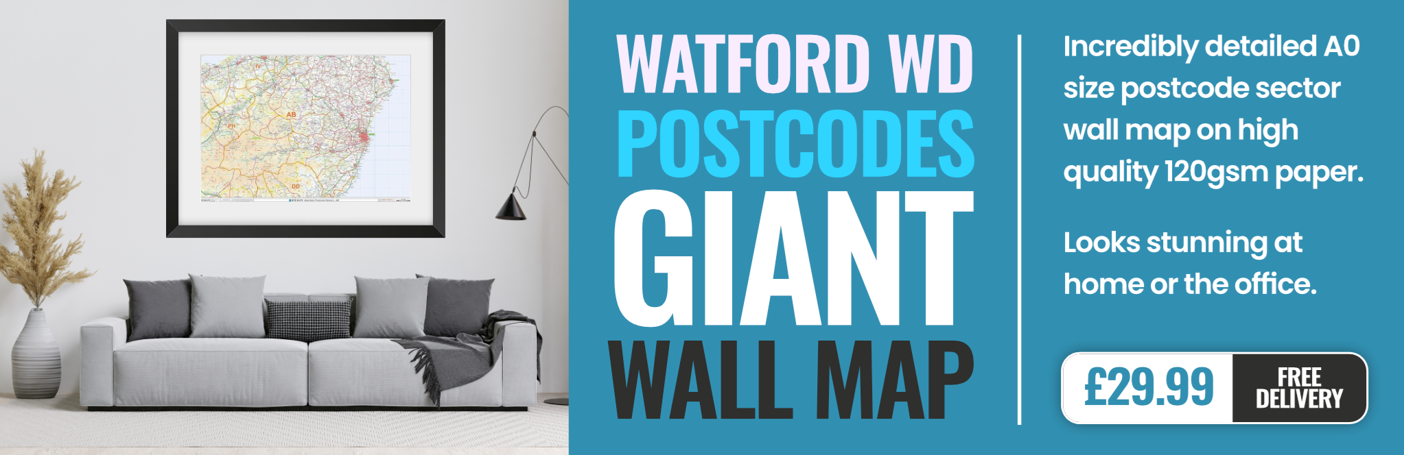
watford WD19 Postcodes
Spending a fortune on conveyancing?

Compare instant, low-cost online quotes from trusted conveyancing solicitors.
Backed by experts, our no-obligation service searches through the best conveyancing quotes on the market to save you time and money.
Watford (WD19)
The WD19 postcode area is located in the Watford postcode town region, within the county of Hertfordshire, and contains a total of 774 individual postcodes.
There are 6 electoral wards in the WD19 postcode area, including Abbots Langley, Borehamwood, Bushey, Kings Langley, Radlett, Rickmansworth, Watford which come under the local authority of the Watford Council.
Combining the whole postcode region, 23% of people in WD19 are classed as having an AB social grade, (i.e. 'white-collar' middle-upper class), compared to 27% across the UK.
This does not mean that the people of WD19 are poorer than other areas, but it may give an indication that there are areas of deprivation.
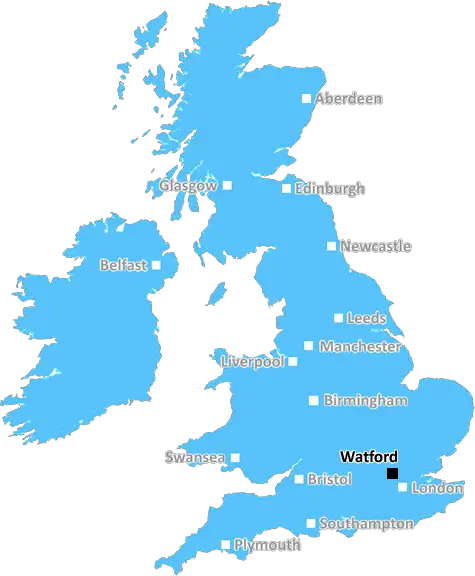
The WD19 postcode is located in the Watford area of Hertfordshire, in the south east of England. Watford is a large town which lies approximately 20 miles north of central London, and is within the London commuter belt.
WD19 is a mixed residential and commercial post code. Housing is mainly affluent and suburban, with terraced houses, semi-detached and detached dwellings, and some blocks of flats. The commercial area contains major shops, businesses, and a bustling night life. The town centre has a large shopping centre, cinema and a leisure centre. There are also two parks, Cassiobury Park and the beautiful Watford Park, which offers a scenic view of the surrounding area.
Education in the area is served by several good schools and colleges, and the Watford campus of the University of Hertfordshire is also located here. Exciting attractions in the area include the Warner Bros. Studio Tour for Harry Potter fans, stunning preserved country houses including the grade I-listed Cassiobury House, Paradise Wildlife Park, and the country's largest go-karting circuits. The area also boasts a huge variety of cultural and leisure activities, as well as plenty of restaurants, pubs and bars.
The region is also home to several major corporate headquarters, such as Sainsbury's, TK Maxx, JD Sports and Gousto. Watford also has excellent transport links, served by both the M1 motorway and the West Coast Main Line train line. Watford Junction railway station provides quick and easy access to London Euston and Oxford.
WD19 is the perfect post code for people looking to experience suburban life with access to the city - its thriving shops, businesses and attractions make it an ideal choice for young professionals, families and those looking for excitement.

Demographics
Hertfordshire

WD19 is located in the county of Hertfordshire, in England.
Hertfordshire has a total population of 1,176,700, making it the 12th largest county in the UK.
Hertfordshire has a total area of 634 square miles, and a population density of 716 people per square kilometre. For comparison, Greater London has a density of 5,618 people/km2.
| Outward Code | WD19 |
| Postal Town | Watford |
| MSOA Name | Watford 012 |
| LSOA Name | Watford 012C |
| County | Hertfordshire |
| Region | Hertfordshire |
| Country | England |
| Local Authority | Watford |
| Area Classification | Urban with Major Conurbation |
WD19 Electoral Wards
The postal region of WD19, includes the local towns, villages, electoral wards and stations of:
Dig even deeper into the WD19 postcode by clicking on a postcode below:
Click on an outward postal code below for more information about the area. Each 'outward' postcode give you a comprehensive list of all postcodes within the outward code area (WD) and estimated address.
Click on an 'outward' code for more information. For example, the outward postcode page 'EC2M' will give you an alphabetical list covering all postcodes located in the region, from 'EC2M 1BB' through to 'EC2M 7YA'.
Chris H
Saturday, April 6, 2024
We don't have any views of WD19 right now. If you live in WD19 or have visited it, please help us to help others by telling others what you think of this neighbourhood.
Add your view of WD19
People need your local expertise. If you live in WD19 or have first-hand knowledge of the neighbourhood, please consider sharing your views. It's completely anonymous - all we ask is for your initials.
Please tell us what you like about the WD19 postcode area, what you don't like, and what it's like to live or work here.
| LOCAL AMENITIES | |
| FAMILY FRIENDLY | |
| PARKING | |
| GREEN SPACES |
Local News Hertfordshire
Woman defrauded stepfather out of shares and money
Geraldine Skevington-Roberts is considered to have used her power of attorney to "enrich herself".
BBC NewsArsenal return to top with victory over Luton
Arsenal overcome the absence of Bukayo Saka to move back to the top of the Premier League table with victory over struggling Luton at Emirates Stadium.
BBC NewsSchools to close for two days due to Big Weekend
A trust says teaching will be moved online except for GCSE students, who must attend for exams.
BBC NewsBloomfield 'proud' as Wycombe prepare for Wembley
Wycombe Wanderers could win their first trophy as a professional club on Sunday
BBC NewsBlackpool 0-0 Wycombe Wanderers
Blackpool were held to a 0-0 draw by Wycombe as the Seasiders' League One play-off hopes suffered a blow.
BBC NewsNo hosepipe ban, says Anglian Water
Anglian Water says it has no plans to restrict the use of hosepipes this summer.
BBC NewsTory bin claims are rubbish, says council leader
Labour denies Conservative claims it is planning to do away with weekly bin collections.
BBC NewsWest Brom fight back to salvage draw with Watford
Play-off hopefuls West Bromwich Albion come from 2-0 down to salvage a point against Watford at the Hawthorns.
BBC NewsFrom the Postcode Area blog

Deciphering Crime Rates - a Deep Dive Into UK Postcode Analysis
Ever wondered about the crime rate in your UK postcode? You're not alone. We've dug deep into the data, uncovering trends and patterns that'll make your head spin.

Death of the High Street?
The BBC reports that despite councils' attempts to kurb them, the UK's high streets have seen a huge growth in fast food outlets. Could this mark the death knell for the Great British high street, and what can we do about it to halt its decline?

Discrimination by Postcode
You really couldn't make it up, could you? Some of the country's most vulnerable people are missing out on their weekly £25 Cold Weather Payment, just because the system that's in operation is discriminating against them because payments are based on postcode, rather than geographic location.

The Redesign is Underway
Well, the current website was absolutely in dire need of a good redesign - from the ground up. So I set out to pull it all apart and get it up and running again to become the most comprehensive guide to every postcode in the UK. And it's been a long, tough job from start to finish - and quite possibly the biggest project I've ever undertaken.
SOCIAL GRADES
According to census records, 23% of people here have a social grade of AB (highest), compared to the national average of 27%.