peterborough PE33 Postcodes
Spending a fortune on conveyancing?

Compare instant, low-cost online quotes from trusted conveyancing solicitors.
Backed by experts, our no-obligation service searches through the best conveyancing quotes on the market to save you time and money.
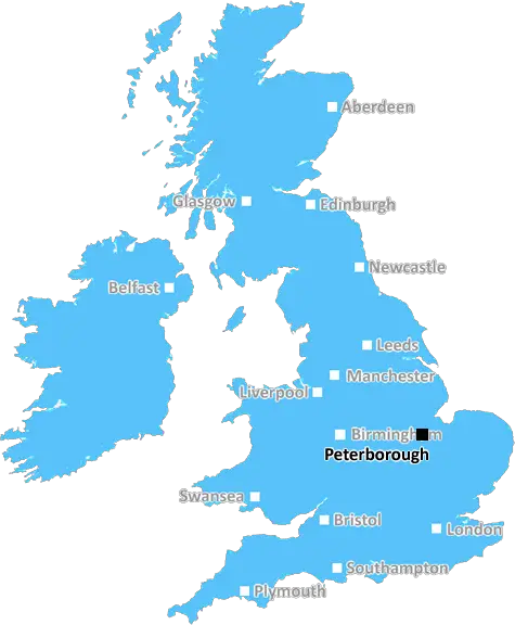
Peterborough (PE33)
The PE33 postcode area is located in the Peterborough postcode town region, within the county of Norfolk, and contains a total of 606 individual postcodes.
There are 57 electoral wards in the PE33 postcode area, including Boston, Bourne, Chatteris, Downham Market, Hunstanton, Huntingdon, King's Lynn, March, Peterborough, Sandringham, Skegness, Spalding, Spilsby, St Ives, St Neots, Stamford, Swaffham, Wisbech which come under the local authority of the King's Lynn and West Norfolk Council.
Combining the whole postcode region, 18% of people in PE33 are classed as having an AB social grade, (i.e. 'white-collar' middle-upper class), compared to 27% across the UK.
This does not mean that the people of PE33 are poorer than other areas, but it may give an indication that there are areas of deprivation.
PE33 is a postcode covering parts of the borough of King's Lynn and West Norfolk, in eastern England. It lies between the towns of Swaffham and Downham Market in the north and is in the Norfolk county of England.
PE33 covers a wide area, and several villages and hamlets are in this postcode, including Beetley, Beeston, Bunwell, Field Dalling, Foulden, Great Ryburgh and Wretham.
Bordered by the A47 and B1108 roads, the area includes parts of Thetford Forest and a large area of agricultural land. The area is fairly rural overall with a few villages and hamlets, and a mixture of farmland and country lanes.
PE33 contains some small works, mostly in the villages. There are a number of small business units located in Field Dalling and the larger village of Beeston and a garden centre and activity centre in Great Ryburgh.
Education is provided by Syderstone Church of England Primary Academy, located in the hamlet of Syderstone with approximately 100 pupils. Other local schools include Beetley, Beeston, and Foulden.
Recreation in the area is largely centred around the large forest of Thetford, which has plenty of cycling, walking and horse-riding routes along with activity centres and a large heathland reserve. There are several sports clubs in the area, and many of the villages have playing fields.
The area is served by both bus and rail services. The nearest railway station is Downham Market, which is 8km away, while the nearest bus service is in Beeston, a few miles away.
The area is popular with tourists, especially those looking for walks in the countryside and activities in Thetford Forest Park. The area is also home to a number of historic churches, including St. Peter's Church in Beeston and St. Andrew's Church in Foulden.
PE33 is a fairly quiet area in the English countryside, and it is an ideal location for those looking for a rural lifestyle. With an abundance of nature reserves, forests, and countryside the area is perfect for those looking to escape the hustle and bustle of city life.

Demographics

Norfolk

PE33 is located in the county of Norfolk, in England.
Norfolk has a total population of 892,900, making it the 25th largest county in the UK.
Norfolk has a total area of 2080 square miles, and a population density of 165 people per square kilometre. For comparison, Greater London has a density of 5,618 people/km2.
| Outward Code | PE33 |
| Postal Town | Peterborough |
| MSOA Name | King's Lynn and West Norfolk 014 |
| LSOA Name | King's Lynn and West Norfolk 014B |
| County | Norfolk |
| Region | Norfolk |
| Country | England |
| Local Authority | King's Lynn and West Norfolk |
| Area Classification | Largely Rural (rural including hub towns 50-79%) |
PE33 Electoral Wards
The postal region of PE33, includes the local towns, villages, electoral wards and stations of:
Dig even deeper into the PE33 postcode by clicking on a postcode below:
Click on an outward postal code below for more information about the area. Each 'outward' postcode give you a comprehensive list of all postcodes within the outward code area (PE) and estimated address.
Click on an 'outward' code for more information. For example, the outward postcode page 'EC2M' will give you an alphabetical list covering all postcodes located in the region, from 'EC2M 1BB' through to 'EC2M 7YA'.
Chris H
Sunday, April 14, 2024
We don't have any views of PE33 right now. If you live in PE33 or have visited it, please help us to help others by telling others what you think of this neighbourhood.
Add your view of PE33
People need your local expertise. If you live in PE33 or have first-hand knowledge of the neighbourhood, please consider sharing your views. It's completely anonymous - all we ask is for your initials.
Please tell us what you like about the PE33 postcode area, what you don't like, and what it's like to live or work here.
| LOCAL AMENITIES | |
| FAMILY FRIENDLY | |
| PARKING | |
| GREEN SPACES |
Local News Norfolk
Truss thought 'why me, why now?' after Queen's death
The ex-PM says Queen Elizabeth II told her to "pace yourself" in new memoir extracts.
BBC NewsMP calls for pylon consultation to be paused
Final consultation started about new line of pylons between Norwich and the Thames coast.
BBC NewsFinal pylon consultation gets under way
National Grid seeks the public's views again on its plans after making some changes.
BBC NewsNature reserve celebrates five years of rewilding
The reserve's manager says a big part of the project has been about engaging and educating people.
BBC NewsFirst bleed kit in memory of murdered teen set up
James Quigley, from Wymondham, was 18 when he was stabbed to death in Ipswich.
BBC NewsThe choir that gives people their voices back
The aphasia choir helps people who struggle to talk after suffering brain injuries or strokes.
BBC NewsNatural England 'opposing road with no real facts'
The leader of a council trying to build a 274m road claims the wildlife quango is "too powerful".
BBC NewsTruss thought 'why me, why now?' after Queen's death
The ex-PM says Queen Elizabeth II told her to "pace yourself" in new memoir extracts.
BBC NewsFrom the Postcode Area blog

Deciphering Crime Rates - a Deep Dive Into UK Postcode Analysis
Ever wondered about the crime rate in your UK postcode? You're not alone. We've dug deep into the data, uncovering trends and patterns that'll make your head spin.

Death of the High Street?
The BBC reports that despite councils' attempts to kurb them, the UK's high streets have seen a huge growth in fast food outlets. Could this mark the death knell for the Great British high street, and what can we do about it to halt its decline?

Discrimination by Postcode
You really couldn't make it up, could you? Some of the country's most vulnerable people are missing out on their weekly £25 Cold Weather Payment, just because the system that's in operation is discriminating against them because payments are based on postcode, rather than geographic location.

The Redesign is Underway
Well, the current website was absolutely in dire need of a good redesign - from the ground up. So I set out to pull it all apart and get it up and running again to become the most comprehensive guide to every postcode in the UK. And it's been a long, tough job from start to finish - and quite possibly the biggest project I've ever undertaken.
SOCIAL GRADES
According to census records, 18% of people here have a social grade of AB (highest), compared to the national average of 27%.