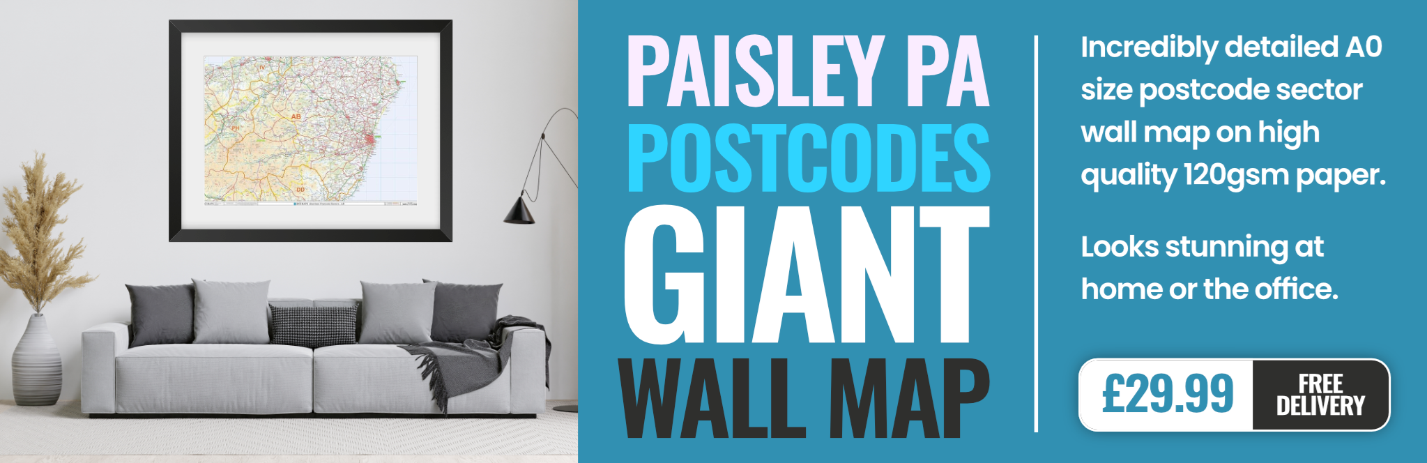
paisley PA23 Postcodes
Spending a fortune on conveyancing?

Compare instant, low-cost online quotes from trusted conveyancing solicitors.
Backed by experts, our no-obligation service searches through the best conveyancing quotes on the market to save you time and money.
Paisley (PA23)
The PA23 postcode area is located in the Paisley postcode town region, within the county of Argyllshire, and contains a total of 507 individual postcodes.
There are 23 electoral wards in the PA23 postcode area, including Appin, Bishopton, Bridge Of Orchy, Bridge Of Weir, Cairndow, Campbeltown, Colintraive, Dalmally, Dunoon, Erskine, Gourock, Greenock, Inveraray, Isle Of Bute, Isle Of Coll, Isle Of Colonsay, Isle Of Gigha, Isle Of Iona, Isle Of Islay, Isle Of Jura, Isle Of Mull, Isle Of Tiree, Johnstone, Kilmacolm, Lochgilphead, Lochwinnoch, Oban, Paisley, Port Glasgow, Renfrew, Skelmorlie, Tarbert, Taynuilt, Tighnabruaich, Wemyss Bay which come under the local authority of the Argyll & Bute Council.
Combining the whole postcode region, 0% of people in PA23 are classed as having an AB social grade, (i.e. 'white-collar' middle-upper class), compared to 27% across the UK.
This does not mean that the people of PA23 are poorer than other areas, but it may give an indication that there are areas of deprivation.
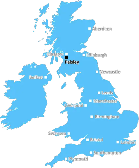
PA23 postcode is a postcode in the Paisley district of Scotland, located on the west coast of the country. It is used by Royal Mail to identify the area for sorting post.
The postcode covers an area of about 4.2 miles in length, with a slight curve to the south. It covers 5220 hectares (approximately 12,820 acres) of land, including residential and industrial areas. The area is served by Paisley and Glasgow Airport as its major transport hubs.
In terms of local infrastructure, the area is mainly residential and contains a few small businesses. Generally, it is home to single family dwellings, terraced homes and apartment buildings, as well as several small shopping areas.
In terms of demographics, PA23 has an estimated population of over 19,000, with 91% of the population being born in the UK. Around 65% of the population speaks English as their first language, and 25% of people aged 16-74 have no qualifications.
The local economy is mainly based on the retail and service sectors, as well as higher value added activities related to technology and engineering; over 3,500 people in the area are employed in this sector.
Additionally, PA23 contains many residential and industrial areas, as well as parks, woodland, grassland, rivers and canals. The Linn Park, located near the centre of the PA23 postcode, is a popular recreational area, featuring a golf course, two lochs and a variety of greenspace.
The area is also close to two universities, making it an attractive postcode for students. The Glasgow University and Strathclyde University both take students from PA23, with the latter located closer to the postcode than the former.
Finally, PA23 is a safe area in general, with a comparatively low crime rate, although some instances of criminal damage, vandalism and anti-social behaviour have been reported.

Demographics
Argyllshire

PA23 is located in the county of Argyllshire, in Scotland.
Argyllshire has a total population of 0, making it the largest county in the UK.
Argyllshire has a total area of square miles, and a population density of people per square kilometre. For comparison, Greater London has a density of 5,618 people/km2.
| Outward Code | PA23 |
| Postal Town | Paisley |
| MSOA Name | Dunoon |
| LSOA Name | |
| County | Argyllshire |
| Region | Argyllshire |
| Country | Scotland |
| Local Authority | Argyll & Bute |
| Area Classification | Unclassified |
PA23 Electoral Wards
The postal region of PA23, includes the local towns, villages, electoral wards and stations of:
Dig even deeper into the PA23 postcode by clicking on a postcode below:
Click on an outward postal code below for more information about the area. Each 'outward' postcode give you a comprehensive list of all postcodes within the outward code area (PA) and estimated address.
Click on an 'outward' code for more information. For example, the outward postcode page 'EC2M' will give you an alphabetical list covering all postcodes located in the region, from 'EC2M 1BB' through to 'EC2M 7YA'.
Chris H
Saturday, April 13, 2024
We don't have any views of PA23 right now. If you live in PA23 or have visited it, please help us to help others by telling others what you think of this neighbourhood.
Add your view of PA23
People need your local expertise. If you live in PA23 or have first-hand knowledge of the neighbourhood, please consider sharing your views. It's completely anonymous - all we ask is for your initials.
Please tell us what you like about the PA23 postcode area, what you don't like, and what it's like to live or work here.
| LOCAL AMENITIES | |
| FAMILY FRIENDLY | |
| PARKING | |
| GREEN SPACES |
From the Postcode Area blog

Deciphering Crime Rates - a Deep Dive Into UK Postcode Analysis
Ever wondered about the crime rate in your UK postcode? You're not alone. We've dug deep into the data, uncovering trends and patterns that'll make your head spin.

Death of the High Street?
The BBC reports that despite councils' attempts to kurb them, the UK's high streets have seen a huge growth in fast food outlets. Could this mark the death knell for the Great British high street, and what can we do about it to halt its decline?

Discrimination by Postcode
You really couldn't make it up, could you? Some of the country's most vulnerable people are missing out on their weekly £25 Cold Weather Payment, just because the system that's in operation is discriminating against them because payments are based on postcode, rather than geographic location.

The Redesign is Underway
Well, the current website was absolutely in dire need of a good redesign - from the ground up. So I set out to pull it all apart and get it up and running again to become the most comprehensive guide to every postcode in the UK. And it's been a long, tough job from start to finish - and quite possibly the biggest project I've ever undertaken.
SOCIAL GRADES
According to census records, 0% of people here have a social grade of AB (highest), compared to the national average of 27%.