oldham OL3 Postcodes
Spending a fortune on conveyancing?

Compare instant, low-cost online quotes from trusted conveyancing solicitors.
Backed by experts, our no-obligation service searches through the best conveyancing quotes on the market to save you time and money.
Oldham (OL3)
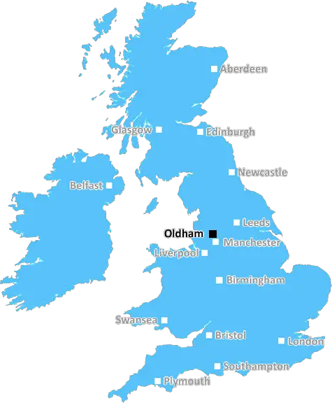
The OL3 postcode area is located in the Oldham postcode town region, within the county of Greater Manchester, and contains a total of 715 individual postcodes.
There are 33 electoral wards in the OL3 postcode area, including Ashton-Under-Lyne, Bacup, Heywood, Littleborough, Oldham, Rochdale, Todmorden which come under the local authority of the Oldham Council.
Combining the whole postcode region, 35% of people in OL3 are classed as having an AB social grade, (i.e. 'white-collar' middle-upper class), compared to 27% across the UK.
This does not mean that the people of OL3 are wealthier - or higher class - than average, but it can be an indication that the area may be prospering and desirable to live in.
OL3 postcode is a postcode district in the Oldham district, part of the Greater Manchester Metropolitan county in the UK. It was introduced in 1974 and comprises a large area covering parts of the east, south and west of the town centre, and borders Greater Manchester and West Yorkshire.
It covers 11 towns and villages in the area, including Aldershot, Chadderton, Failsworth, Lees, Moston, Oldham, Royton, Shaw, Uppermill and Waterhead. It also includes the townships of Wardleworth, Grains Bar and Hollinwood.
It is served by two train stations in the area; Oldham Werneth Railway station, next to Oldham's well-known Coliseum Theatre, and Shaw Railway Station which provides access to Manchester and Leeds.
The postcode district's population was estimated to be 49,506 in the 2011 census, making it the 27th most populated postcode district in England and the sixth most populated in Greater Manchester.
OL3 has a great transport system. It's well connected by trains, buses and trams. Specialized bus services, operated by First Greater Manchester, serve both the town centre and neighbouring areas. The Metrolink tram service also passes through Oldham town centre, offering direct links to Manchester and beyond.
The postcode OL3 borders other postcodes, such as M35, OL1, OL2, OL4 and SK14.
The area is widely known for its business and retail centres, with retail parks located at Hollinwood, Werneth, Mosley Street, and Union Street. Nearby, the Spindles Shopping Centre is one of the most popular malls in Oldham.
The main Oldham town centre is home to a selection of pubs, bars and restaurants as well as shopping, cultural attractions and leisure facilities. Residents and visitors of OL3 often enjoy visiting local parks such as Alexandra Park, situated close to Union Street, and Clarence Park, located on the edge of Oldham Town Centre.
OL3 postcode is also notable for its selection of educational establishments. These include Oldham College, which offers a range of courses from GCSE and A levels through to adult learning and Higher Education qualifications, and Saddleworth School, a large comprehensive school with specialist Science and Maths status.

Demographics

Greater Manchester

OL3 is located in the county of Greater Manchester, in England.
Greater Manchester has a total population of 2,782,100, making it the 3rd largest county in the UK.
Greater Manchester has a total area of 492 square miles, and a population density of 2180 people per square kilometre. For comparison, Greater London has a density of 5,618 people/km2.
| Outward Code | OL3 |
| Postal Town | Oldham |
| MSOA Name | Oldham 006 |
| LSOA Name | Oldham 006B |
| County | Greater Manchester |
| Region | Greater Manchester |
| Country | England |
| Local Authority | Oldham |
| Area Classification | Urban with Major Conurbation |
OL3 Electoral Wards
The postal region of OL3, includes the local towns, villages, electoral wards and stations of:
Dig even deeper into the OL3 postcode by clicking on a postcode below:
Click on an outward postal code below for more information about the area. Each 'outward' postcode give you a comprehensive list of all postcodes within the outward code area (OL) and estimated address.
Click on an 'outward' code for more information. For example, the outward postcode page 'EC2M' will give you an alphabetical list covering all postcodes located in the region, from 'EC2M 1BB' through to 'EC2M 7YA'.
ROG, Oldham
Monday, December 18, 2023
I think OL3/Saddleworth is a mainly a semi rural area surrounded by beautiful scenery and Pennine hills. These are a collection of residential Yorkshire villages within the Greater Manchester County. The area is very safe and my own village quiet for most part. I personally dislike the intrusion of Oldham into the area. We identify as Yorkshire folk not Oldham. There has been a number of conflicts between our Parish Council and Oldham Council where decisions previously made by the Parish Council have been over ridden by Oldham Council. This is still Yorkshire despite the political boundary changes.
Add your view of OL3
People need your local expertise. If you live in OL3 or have first-hand knowledge of the neighbourhood, please consider sharing your views. It's completely anonymous - all we ask is for your initials.
Please tell us what you like about the OL3 postcode area, what you don't like, and what it's like to live or work here.
| LOCAL AMENITIES | |
| FAMILY FRIENDLY | |
| PARKING | |
| GREEN SPACES |
Local News Lancashire
Can Surrey be beaten as County Championship returns?
With the new County Championship season starting on Friday, can anyone prevent Surrey winning a third straight title?
BBC NewsStansfield hits winner as Birmingham beat Preston
Jay Stansfield's 68th-minute winner beats promotion-chasing Preston to earn Gary Rowett's first win back as Birmingham City boss.
BBC NewsCampaigners call for cemetery to be protected
They are urging a bishop to keep the site as a cemetery and stop it being redeveloped.
BBC NewsTrain strikes: How will you be affected?
Rail workers at 16 companies are taking industrial action but tube strikes have been called off.
BBC NewsDay one of County Championship season hit by rain
Day one of the County Championship season sees play abandoned at Derbyshire, Durham, Lancashire and Kent without a ball bowled.
BBC NewsPolice officer hit by stolen car in hit-and-run
The officer was conducting investigations into the theft when he was hit by the car, police say.
BBC NewsReform UK drops candidates over 'racist comments'
Campaign group Hope Not Hate claims it found historical derogatory tweets made two Reform candidates.
BBC NewsWolves hit back to deny Burnley crucial win
Burnley miss out on a chance to boost their survival hopes as they are held to a frustrating draw by Wolves at Turf Moor.
BBC NewsFrom the Postcode Area blog

Deciphering Crime Rates - a Deep Dive Into UK Postcode Analysis
Ever wondered about the crime rate in your UK postcode? You're not alone. We've dug deep into the data, uncovering trends and patterns that'll make your head spin.

Death of the High Street?
The BBC reports that despite councils' attempts to kurb them, the UK's high streets have seen a huge growth in fast food outlets. Could this mark the death knell for the Great British high street, and what can we do about it to halt its decline?

Discrimination by Postcode
You really couldn't make it up, could you? Some of the country's most vulnerable people are missing out on their weekly £25 Cold Weather Payment, just because the system that's in operation is discriminating against them because payments are based on postcode, rather than geographic location.

The Redesign is Underway
Well, the current website was absolutely in dire need of a good redesign - from the ground up. So I set out to pull it all apart and get it up and running again to become the most comprehensive guide to every postcode in the UK. And it's been a long, tough job from start to finish - and quite possibly the biggest project I've ever undertaken.
SOCIAL GRADES
According to census records, 35% of people here have a social grade of AB (highest), compared to the national average of 27%.