norwich NR22 Postcodes
Spending a fortune on conveyancing?

Compare instant, low-cost online quotes from trusted conveyancing solicitors.
Backed by experts, our no-obligation service searches through the best conveyancing quotes on the market to save you time and money.
Norwich (NR22)
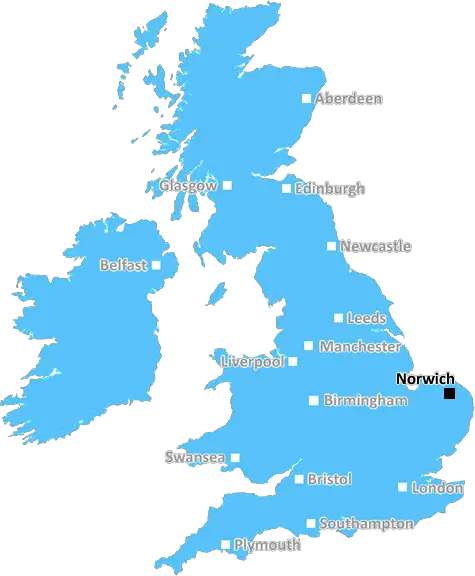
The NR22 postcode area is located in the Norwich postcode town region, within the county of Norfolk, and contains a total of 72 individual postcodes.
There are 5 electoral wards in the NR22 postcode area, including Attleborough, Beccles, Bungay, Cromer, Dereham, Fakenham, Great Yarmouth, Holt, Lowestoft, Melton Constable, North Walsham, Norwich, Sheringham, Walsingham, Wells-Next-The-Sea, Wymondham which come under the local authority of the North Norfolk Council.
Combining the whole postcode region, 16% of people in NR22 are classed as having an AB social grade, (i.e. 'white-collar' middle-upper class), compared to 27% across the UK.
This does not mean that the people of NR22 are poorer than other areas, but it may give an indication that there are areas of deprivation.
NR22 is a postcode district located in the North Norfolk district of England in the UK. It covers the main towns and villages of Walsingham, Fakenham, Erpingham, Aylsham, Reepham, Cromer and Holt.
The NR22 postcode area also encompasses some of the smaller outlying hamlets and other small villages, such as Tunstead, Edingthorpe, Thurning, Metton, Briston, Bacton, Southrepps, Heydon and Brampton.
The district also includes the National Trust owned Blickling and Felbrigg Hall estates as well as many other areas of outstanding natural beauty, reservoirs, and waterways.
The NR22 postcode region is well-known for its rural beauty and the county's international reputation for wildlife and bird reserves, such as Blakeney point and the nearby Broads National Park. Additionally, there are several National Cycle Routes which go through the NR22 postcode area.
Some of the main services available in the NR22 postcode district are schools, supermarkets, banks, GP surgeries, dentists and most other essential services such as petrol stations and post-offices. Norfolk Constabulary also cover the area.
The area enjoys numerous transport links, both by road and rail. The Aylsham bypass, which opened in 2007, improves the transport links and allows for the rapid passage of goods and people to and from the local area. The strategic rail connection between Norwich, Sheringham and Cromer also serves the region.
In addition to its many attractions, the NR22 area also attracts many visitors to its lively towns and villages. There are a host of dining options, including traditional pubs, local eateries, markets, shops and a farmers market. The NR22 district also pride themselves on their many festivals and cultural events.

Demographics

Norfolk

NR22 is located in the county of Norfolk, in England.
Norfolk has a total population of 892,900, making it the 25th largest county in the UK.
Norfolk has a total area of 2080 square miles, and a population density of 165 people per square kilometre. For comparison, Greater London has a density of 5,618 people/km2.
| Outward Code | NR22 |
| Postal Town | Norwich |
| MSOA Name | North Norfolk 009 |
| LSOA Name | North Norfolk 009B |
| County | Norfolk |
| Region | Norfolk |
| Country | England |
| Local Authority | North Norfolk |
| Area Classification | Mainly Rural (rural including hub towns >=80%) |
NR22 Electoral Wards
The postal region of NR22, includes the local towns, villages, electoral wards and stations of:
Dig even deeper into the NR22 postcode by clicking on a postcode below:
Click on an outward postal code below for more information about the area. Each 'outward' postcode give you a comprehensive list of all postcodes within the outward code area (NR) and estimated address.
Click on an 'outward' code for more information. For example, the outward postcode page 'EC2M' will give you an alphabetical list covering all postcodes located in the region, from 'EC2M 1BB' through to 'EC2M 7YA'.
Chris H
Tuesday, April 23, 2024
We don't have any views of NR22 right now. If you live in NR22 or have visited it, please help us to help others by telling others what you think of this neighbourhood.
Add your view of NR22
People need your local expertise. If you live in NR22 or have first-hand knowledge of the neighbourhood, please consider sharing your views. It's completely anonymous - all we ask is for your initials.
Please tell us what you like about the NR22 postcode area, what you don't like, and what it's like to live or work here.
| LOCAL AMENITIES | |
| FAMILY FRIENDLY | |
| PARKING | |
| GREEN SPACES |
Local News Norfolk
Market place revamp forces trader out in rent hike
A shopkeeper says he is relocating as regeneration sees rent more than double.
BBC NewsAmber's mum hopes to help families create memories
A charity football match featuring a host of celebrities is being held in honour of Amber Sheehy.
BBC NewsWeekly quiz:What made Liz Truss itch in Downing Street?
Test how closely you have been paying attention to what has been going on over the past seven days.
BBC NewsCollege can help region's prosperity, says new head
Paul Padda believes that East Coast College can boost the prospects of Great Yarmouth and Lowestoft.
BBC NewsPrison food made bowel disease worse, inquest told
Mohammed Azizi died of malnutrition after refusing food he said aggravated his Crohn's disease.
BBC NewsSewage in Grimston: It's disgraceful'
People in Grimston have been unable to use their toilets for months due to blocked drains
BBC NewsBeing an MP is 'harder' now, says Truss
The ex-prime minister says she is sad to see three Norfolk Tories stand down at the next election.
BBC NewsWhen are the local elections and who can vote?
Voters in parts of England will elect councillors, mayors and police commissioners in May.
BBC NewsFrom the Postcode Area blog

Deciphering Crime Rates - a Deep Dive Into UK Postcode Analysis
Ever wondered about the crime rate in your UK postcode? You're not alone. We've dug deep into the data, uncovering trends and patterns that'll make your head spin.

Death of the High Street?
The BBC reports that despite councils' attempts to kurb them, the UK's high streets have seen a huge growth in fast food outlets. Could this mark the death knell for the Great British high street, and what can we do about it to halt its decline?

Discrimination by Postcode
You really couldn't make it up, could you? Some of the country's most vulnerable people are missing out on their weekly £25 Cold Weather Payment, just because the system that's in operation is discriminating against them because payments are based on postcode, rather than geographic location.

The Redesign is Underway
Well, the current website was absolutely in dire need of a good redesign - from the ground up. So I set out to pull it all apart and get it up and running again to become the most comprehensive guide to every postcode in the UK. And it's been a long, tough job from start to finish - and quite possibly the biggest project I've ever undertaken.
SOCIAL GRADES
According to census records, 16% of people here have a social grade of AB (highest), compared to the national average of 27%.