norwich NR14 Postcodes
Spending a fortune on conveyancing?

Compare instant, low-cost online quotes from trusted conveyancing solicitors.
Backed by experts, our no-obligation service searches through the best conveyancing quotes on the market to save you time and money.
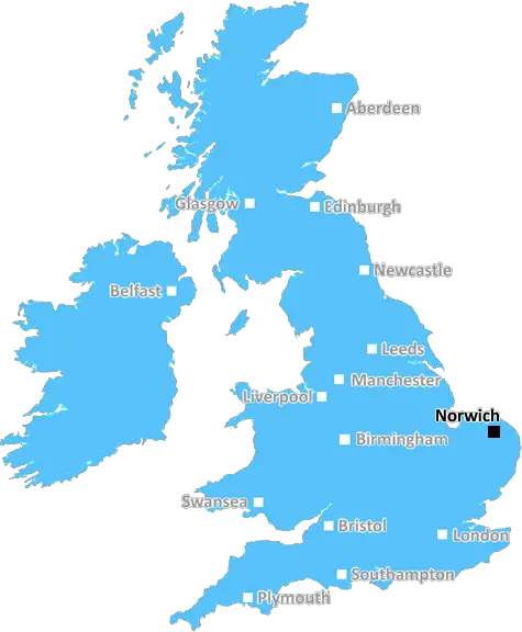
Norwich (NR14)
The NR14 postcode area is located in the Norwich postcode town region, within the county of Norfolk, and contains a total of 988 individual postcodes.
There are 111 electoral wards in the NR14 postcode area, including Attleborough, Beccles, Bungay, Cromer, Dereham, Fakenham, Great Yarmouth, Holt, Lowestoft, Melton Constable, North Walsham, Norwich, Sheringham, Walsingham, Wells-Next-The-Sea, Wymondham which come under the local authority of the South Norfolk Council.
Combining the whole postcode region, 27% of people in NR14 are classed as having an AB social grade, (i.e. 'white-collar' middle-upper class), compared to 27% across the UK.
This does not mean that the people of NR14 are wealthier - or higher class - than average, but it can be an indication that the area may be prospering and desirable to live in.
The NR14 postcode is a postcode district covering Norfolk, England. This rural postcode district stretches from the city of Norwich in the north to the Suffolk border in the south, encompassing the towns of Loddon, Bungay, Lound, and Reedham, as well as the villages of Ashby, Carleton Rode, Lingwood, Woodton, and Worlingham.
It is located mainly in the South Norfolk district, although a small northern area around Loddon is made up of parts of Broadland district and parts of the Norwich City unitary authority.
Viewed as some of the most desirable locations in Norfolk as a result of its rich rural landscape, NR14 offers stunning views of the rivers Chet, Waveney, Yare, and Wensum, as well as of Broadland's beautiful wildlife reserves. The postcode is also home to some beautiful historic and archaeological sites, such as Framlingham Castle and Wolterton Hall.
The majority of the area is made up of traditional villages and hamlets, but NR14 also has a number of small market towns. These include Attleborough, a historic market town dating back to the 11th Century, which has a variety of independent shops and a vibrant local community, as well as the larger market town of Diss, with its historic town centre and contemporary leisure facilities.
The transport links in NR14 are mainly to Norwich, with a convenient direct train link from Diss, Loddon and Reedham Railway Stations, as well as bus and coach links. The area also benefits from being very close to the A146 and A140, providing easy access to Norwich city centre and further afield.
For those seeking outdoor activities, Ng?r14 has plenty to offer. From fishing and boating on the rivers to gentle walks in the gardens of historic buildings, there's something for everyone to enjoy here. There are also a number of nature reserves, such as Surlingham Broad and the Peter Scott Walk, as well as a number of National Trust properties including Blickling Hall and Sheringham Park.
NR14 is a very desirable rural postcode district that offers its inhabitants a mix of peaceful villages, bustling towns, natural beauty, and historical sites, as well as excellent transport links.

Demographics

Norfolk

NR14 is located in the county of Norfolk, in England.
Norfolk has a total population of 892,900, making it the 25th largest county in the UK.
Norfolk has a total area of 2080 square miles, and a population density of 165 people per square kilometre. For comparison, Greater London has a density of 5,618 people/km2.
| Outward Code | NR14 |
| Postal Town | Norwich |
| MSOA Name | South Norfolk 010 |
| LSOA Name | South Norfolk 010C |
| County | Norfolk |
| Region | Norfolk |
| Country | England |
| Local Authority | South Norfolk |
| Area Classification | Mainly Rural (rural including hub towns >=80%) |
NR14 Electoral Wards
The postal region of NR14, includes the local towns, villages, electoral wards and stations of:
Dig even deeper into the NR14 postcode by clicking on a postcode below:
Click on an outward postal code below for more information about the area. Each 'outward' postcode give you a comprehensive list of all postcodes within the outward code area (NR) and estimated address.
Click on an 'outward' code for more information. For example, the outward postcode page 'EC2M' will give you an alphabetical list covering all postcodes located in the region, from 'EC2M 1BB' through to 'EC2M 7YA'.
TD, norwich
Saturday, October 19, 2019
Peaceful area. Nice housing. Large village with essential amenities. Bus route to Norwich. Large co-op plus smaller shop with post office counter. GP surgery. Primary school. Pub with restaurant. Double-decker bus converted into a café. Church. Village hall (various events here). Nice place to live.
Add your view of NR14
People need your local expertise. If you live in NR14 or have first-hand knowledge of the neighbourhood, please consider sharing your views. It's completely anonymous - all we ask is for your initials.
Please tell us what you like about the NR14 postcode area, what you don't like, and what it's like to live or work here.
| LOCAL AMENITIES | |
| FAMILY FRIENDLY | |
| PARKING | |
| GREEN SPACES |
Local News Norfolk
Expats warm up for Far East Anglian derby party
About 30 Ipswich and Norwich football fans are expected to crowd around a television in Singapore.
BBC NewsNorwich v Ipswich start EFL schedule - radio & live text
Follow Squad Goals commentary & live text from Saturday's action from across the Championship, League One and League Two.
BBC NewsWarning ahead of fresh round of train strikes
Passengers told to plan ahead as rail and underground services to be hit by weekend walkouts.
BBC NewsWells RNLI warns about tidal dangers
The RNLI crew at Wells-Next-The-Sea are warning people about its unique' tide.
BBC NewsPolice investigate death of man found on beach
While the man's death is unexplained, police do not believe it to be suspicious.
BBC NewsCoroner concerned after death of mentally ill man
The coroner says opportunities to provide appropriate care to Christopher Sidle were missed.
BBC NewsCarers' support charity saved from closure
The charity, which had announced its impending closure, is saved by a partnership with an NHS trust.
BBC NewsCouncil adapts plans for Grade I listed building
A councillor says the authority is in the process of changing the designs to reflect local desires.
BBC NewsFrom the Postcode Area blog

Deciphering Crime Rates - a Deep Dive Into UK Postcode Analysis
Ever wondered about the crime rate in your UK postcode? You're not alone. We've dug deep into the data, uncovering trends and patterns that'll make your head spin.

Death of the High Street?
The BBC reports that despite councils' attempts to kurb them, the UK's high streets have seen a huge growth in fast food outlets. Could this mark the death knell for the Great British high street, and what can we do about it to halt its decline?

Discrimination by Postcode
You really couldn't make it up, could you? Some of the country's most vulnerable people are missing out on their weekly £25 Cold Weather Payment, just because the system that's in operation is discriminating against them because payments are based on postcode, rather than geographic location.

The Redesign is Underway
Well, the current website was absolutely in dire need of a good redesign - from the ground up. So I set out to pull it all apart and get it up and running again to become the most comprehensive guide to every postcode in the UK. And it's been a long, tough job from start to finish - and quite possibly the biggest project I've ever undertaken.
SOCIAL GRADES
According to census records, 27% of people here have a social grade of AB (highest), compared to the national average of 27%.