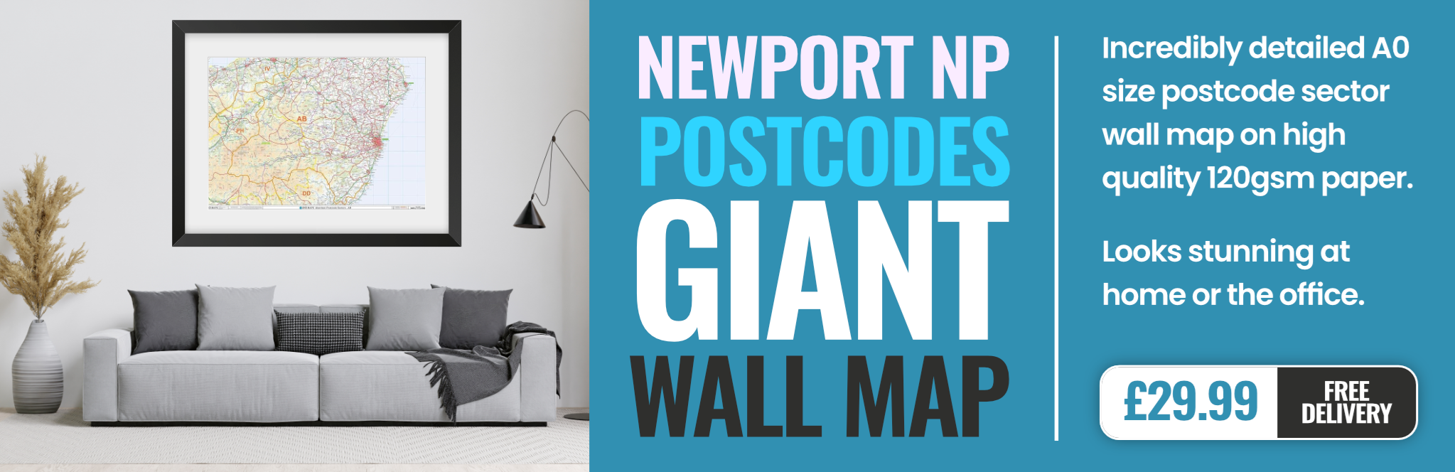
newport NP4 Postcodes
Spending a fortune on conveyancing?

Compare instant, low-cost online quotes from trusted conveyancing solicitors.
Backed by experts, our no-obligation service searches through the best conveyancing quotes on the market to save you time and money.
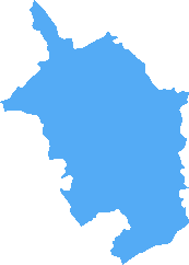
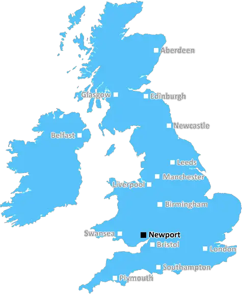
Newport (NP4)
The NP4 postcode area is located in the Newport postcode town region, within the county of Monmouthshire, and contains a total of 2734 individual postcodes.
There are 64 electoral wards in the NP4 postcode area, including Abergavenny, Abertillery, Blackwood, Caldicot, Chepstow, Crickhowell, Cwmbran, Ebbw Vale, Monmouth, New Tredegar, Newport, Pontypool, Tredegar, Usk which come under the local authority of the Monmouthshire Council.
Combining the whole postcode region, 17% of people in NP4 are classed as having an AB social grade, (i.e. 'white-collar' middle-upper class), compared to 27% across the UK.
This does not mean that the people of NP4 are poorer than other areas, but it may give an indication that there are areas of deprivation.
The NP4 postcode covers an area of the city of Newport that lies between the River Usk to the west and the M4 to the east and north; it includes the parkland surrounding the city, much of the city centre, and some residential areas.
Tredegar Park is a large 70-acre park that is within the NP4 postcode. It includes a Grade II listed house (built in 1796 by the Lord of Tredegar), a golf course, a boating lake, an adventure playground, a caf� and over 400 acres of woodland and gardens.
Newport city centre is also part of the NP4 postcode. It is home to the main commercial areas of the city and a wide range of leisure activities, including restaurants, bars, clubs, theatres and cinemas. The city has a good transport infrastructure, including two railway stations, a main bus station and good access to the M4 motorway.
The residential area of the NP4 postcode encompasses a variety of housing areas, ranging from Victorian terraces to post-war developments with modern flats and houses. It covers a large area and therefore has a diverse population, with a mix of affluent and lower-income residents.
The NP4 postcode is surrounded by the neighbouring districts of Nash and Rogerstone to the east, and to the west by Marshfield. It is close to several popular villages, such as Rogerstone, which has a popular market and local farms, and Malpas, which is the site of a historic Motte and Bailey castle.
NP4 is well served by local amenities, including several supermarkets, independent shops and convenience stores, leisure centres and a range of independent schools and healthcare facilities. It also has good access to both Cardiff and Bristol, making it an attractive location for commuters.

Demographics
Monmouthshire
NP4 is located in the county of Monmouthshire, in Wales.
Monmouthshire has a total population of 92,800, making it the 17th largest county in the UK.
Monmouthshire has a total area of 330 square miles, and a population density of 109 people per square kilometre. For comparison, Greater London has a density of 5,618 people/km2.
| Outward Code | NP4 |
| Postal Town | Newport |
| MSOA Name | Monmouthshire 006 |
| LSOA Name | Monmouthshire 006A |
| County | Monmouthshire |
| Region | Monmouthshire |
| Country | Wales |
| Local Authority | Monmouthshire |
| Area Classification | Unclassified |
NP4 Electoral Wards
The postal region of NP4, includes the local towns, villages, electoral wards and stations of:
Dig even deeper into the NP4 postcode by clicking on a postcode below:
Click on an outward postal code below for more information about the area. Each 'outward' postcode give you a comprehensive list of all postcodes within the outward code area (NP) and estimated address.
Click on an 'outward' code for more information. For example, the outward postcode page 'EC2M' will give you an alphabetical list covering all postcodes located in the region, from 'EC2M 1BB' through to 'EC2M 7YA'.
Chris H
Saturday, April 6, 2024
We don't have any views of NP4 right now. If you live in NP4 or have visited it, please help us to help others by telling others what you think of this neighbourhood.
Add your view of NP4
People need your local expertise. If you live in NP4 or have first-hand knowledge of the neighbourhood, please consider sharing your views. It's completely anonymous - all we ask is for your initials.
Please tell us what you like about the NP4 postcode area, what you don't like, and what it's like to live or work here.
| LOCAL AMENITIES | |
| FAMILY FRIENDLY | |
| PARKING | |
| GREEN SPACES |
From the Postcode Area blog

Deciphering Crime Rates - a Deep Dive Into UK Postcode Analysis
Ever wondered about the crime rate in your UK postcode? You're not alone. We've dug deep into the data, uncovering trends and patterns that'll make your head spin.

Death of the High Street?
The BBC reports that despite councils' attempts to kurb them, the UK's high streets have seen a huge growth in fast food outlets. Could this mark the death knell for the Great British high street, and what can we do about it to halt its decline?

Discrimination by Postcode
You really couldn't make it up, could you? Some of the country's most vulnerable people are missing out on their weekly £25 Cold Weather Payment, just because the system that's in operation is discriminating against them because payments are based on postcode, rather than geographic location.

The Redesign is Underway
Well, the current website was absolutely in dire need of a good redesign - from the ground up. So I set out to pull it all apart and get it up and running again to become the most comprehensive guide to every postcode in the UK. And it's been a long, tough job from start to finish - and quite possibly the biggest project I've ever undertaken.
SOCIAL GRADES
According to census records, 17% of people here have a social grade of AB (highest), compared to the national average of 27%.