medway ME3 Postcodes
Spending a fortune on conveyancing?

Compare instant, low-cost online quotes from trusted conveyancing solicitors.
Backed by experts, our no-obligation service searches through the best conveyancing quotes on the market to save you time and money.
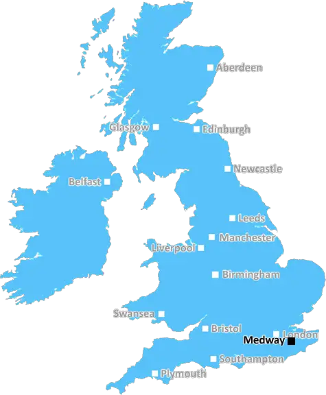
Medway (ME3)
The ME3 postcode area is located in the Medway postcode town region, within the county of Kent, and contains a total of 983 individual postcodes.
There are 30 electoral wards in the ME3 postcode area, including Aylesford, Chatham, Faversham, Gillingham, Maidstone, Queenborough, Rochester, Sheerness, Sittingbourne, Snodland, West Malling which come under the local authority of the Medway Council.
Combining the whole postcode region, 20% of people in ME3 are classed as having an AB social grade, (i.e. 'white-collar' middle-upper class), compared to 27% across the UK.
This does not mean that the people of ME3 are poorer than other areas, but it may give an indication that there are areas of deprivation.
The ME3 postcode in the UK is located in northern Kent, in the boroughs of Medway and the county of Kent. It covers an area of approximately 6.59 km2 and includes the towns of Chatham, Rainham, and Gillingham. The postcode was introduced in 1972 when the region underwent major redevelopment, and is now primarily used by businesses and the general public.
With regard to demographics, the ME3 postcode has a population of approximately 44,200 and a median age of 33. The area is largely made up of working-class people, with a large portion of the population being aged 25 or younger. A majority of the population identify as White British, followed by White Other, Mixed British, and Asian British.
The ME3 postcode is served by several schools, both primary and secondary. Rainham School for Girls and the Victory Academy are two of the highest achieving secondary schools located in the area. The University of Kent has its Medway campus in the area, offering Higher Education to students from the catchment area and beyond.
An array of leisure activities are located within the ME3 postcode. The Strand Leisure Park, Retail Park and Chatham Maritime Marina provide residents with areas to shop, eat and relax. The local theatre and cinema promote a range of shows, from comedies to plays to musicals. Additionally, there are several museums and galleries, such as the Chatham Historic Dockyard, which provide educational and cultural experiences.
The ME3 postcode is well-connected to other parts of Kent and the rest of the UK. Chatham Railway Station provides regular services to London, while the M2 motorway and the Valley Corridor make it easy to access other towns and cities across the region. Regular bus services are also available throughout the area, while the Medway Tunnel provides fast access to the south of England.
The ME3 postcode has seen a great deal of redevelopment in recent years. The area is now a thriving residential and business destination, while the Chatham Town Centre has been transformed with the development of new shops, cafes, restaurants, and leisure facilities. The ME3 postcode has become popular among commuters and families looking for a safe and stable area in which to live. It is an area of Kent that combines the best of urban and rural living.

Demographics

Kent

ME3 is located in the county of Kent, in England.
Kent has a total population of 1,820,400, making it the 6th largest county in the UK.
Kent has a total area of 1443 square miles, and a population density of 486 people per square kilometre. For comparison, Greater London has a density of 5,618 people/km2.
| Outward Code | ME3 |
| Postal Town | Medway |
| MSOA Name | Medway 001 |
| LSOA Name | Medway 001B |
| County | Kent |
| Region | Kent |
| Country | England |
| Local Authority | Medway |
| Area Classification | Urban with City and Town |
ME3 Electoral Wards
The postal region of ME3, includes the local towns, villages, electoral wards and stations of:
Dig even deeper into the ME3 postcode by clicking on a postcode below:
Click on an outward postal code below for more information about the area. Each 'outward' postcode give you a comprehensive list of all postcodes within the outward code area (ME) and estimated address.
Click on an 'outward' code for more information. For example, the outward postcode page 'EC2M' will give you an alphabetical list covering all postcodes located in the region, from 'EC2M 1BB' through to 'EC2M 7YA'.
Chris H
Sunday, April 7, 2024
We don't have any views of ME3 right now. If you live in ME3 or have visited it, please help us to help others by telling others what you think of this neighbourhood.
Add your view of ME3
People need your local expertise. If you live in ME3 or have first-hand knowledge of the neighbourhood, please consider sharing your views. It's completely anonymous - all we ask is for your initials.
Please tell us what you like about the ME3 postcode area, what you don't like, and what it's like to live or work here.
| LOCAL AMENITIES | |
| FAMILY FRIENDLY | |
| PARKING | |
| GREEN SPACES |
Local News Kent
Charlton Athletic 0-0 Stevenage
Stevenage see their League One play-off hopes dented as a 0-0 draw at Charlton extends their winless run to seven matches.
BBC NewsMum and daughter from Kent to appear in hit BBC show
A mother and daughter from the county are to compete in award-winning BBC series Race Across the World.
Kent OnlineHospital site with permission for 19 homes on market for 2.4m
Land surrounding a former hospital, which has planning permission for 19 townhouses, has hit the market at £2.4 million.
Kent OnlineFirst-time buyers account for record third of all housing sales
Hamptons' research also showsthe most popular area to a buy home for first-time buyers is Slough.
Property WeekCrawley's The Create Building lands British Airways Holidays as tenant
The company has signed a lease for the top floor of the nine-storey tower.
Property WeekThames Water troubles swell as parent firm defaults
Holding company Kemble has told lenders that it has failed to meet a deadline for interest payments.
BBC NewsKent sign Swanepoel after Bartlett deal called off
South African all-rounder Beyers Swanepoel is to join Kent after Xavier Bartlett's deal falls through.
BBC NewsUniversity staff vote to strike over job losses and cut courses
Staff at a Kent university have voted to strike over courses being cut and in defence of jobs.
Kent OnlineFrom the Postcode Area blog

Deciphering Crime Rates - a Deep Dive Into UK Postcode Analysis
Ever wondered about the crime rate in your UK postcode? You're not alone. We've dug deep into the data, uncovering trends and patterns that'll make your head spin.

Death of the High Street?
The BBC reports that despite councils' attempts to kurb them, the UK's high streets have seen a huge growth in fast food outlets. Could this mark the death knell for the Great British high street, and what can we do about it to halt its decline?

Discrimination by Postcode
You really couldn't make it up, could you? Some of the country's most vulnerable people are missing out on their weekly £25 Cold Weather Payment, just because the system that's in operation is discriminating against them because payments are based on postcode, rather than geographic location.

The Redesign is Underway
Well, the current website was absolutely in dire need of a good redesign - from the ground up. So I set out to pull it all apart and get it up and running again to become the most comprehensive guide to every postcode in the UK. And it's been a long, tough job from start to finish - and quite possibly the biggest project I've ever undertaken.
SOCIAL GRADES
According to census records, 20% of people here have a social grade of AB (highest), compared to the national average of 27%.