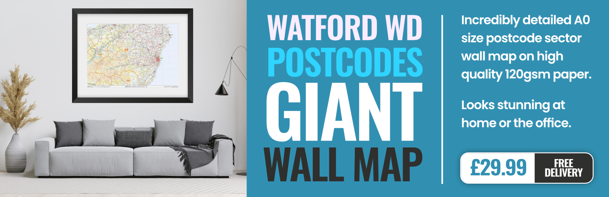
watford W1D Postcodes
Spending a fortune on conveyancing?

Compare instant, low-cost online quotes from trusted conveyancing solicitors.
Backed by experts, our no-obligation service searches through the best conveyancing quotes on the market to save you time and money.
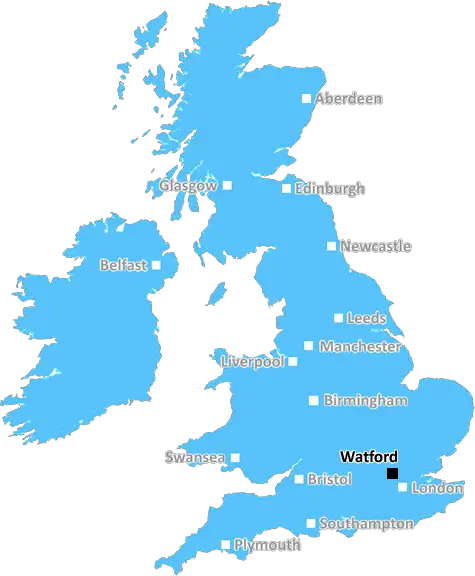
Watford (W1D)
The W1D postcode area is located in the Watford postcode town region, within the county of Greater London, and contains a total of 940 individual postcodes.
There are 0 electoral wards in the W1D postcode area, including London which come under the local authority of the City of London,Westminster Council.
Combining the whole postcode region, 44% of people in W1D are classed as having an AB social grade, (i.e. 'white-collar' middle-upper class), compared to 27% across the UK.
This does not mean that the people of W1D are wealthier - or higher class - than average, but it can be an indication that the area may be prospering and desirable to live in.
The W1D postcode covers a large area of central London, mainly on the north side of the River Thames. It includes the areas of Marylebone, Fitzrovia, Soho and Chinatown. It is bordered by the WC1 (Bloomsbury), WC2 (Covent Garden) and EC1 (Clerkenwell) postcodes.
W1D is an important part of London for retail and tourism, with many of the world's top shops, boutiques and department stores located within its boundaries. The area is also home to many restaurants, bars and pubs, offering a range of international cuisine and drinks.
As a residential area, W1D is home to many of the city's affluent residents, as well as a large number of people from all walks of life. There are a number of residential streets and squares, some of which are home to some superstar residents as well.
Famous streets and squares within the W1D zone include Oxford Street, Bond Street, Abbey Road, Regent Street, Tottenham Court Road and Chinatown. Other attractions include the British Museum, the Royal Academy of Arts, Madame Tussauds and the Planetarium.
The area is also home to a number of transport links, such as Oxford Circus tube station, Tottenham Court Road station, and Marylebone Station. These links provide easy access to the rest of London and beyond.
W1D is an exciting, vibrant and diverse place to live, work and visit, making it one of London's most desirable postcodes.

Demographics
Greater London

W1D is located in the county of Greater London, in England.
Greater London has a total population of 8,778,500, making it the 1st largest county in the UK.
Greater London has a total area of 606 square miles, and a population density of 5594 people per square kilometre. For comparison, Greater London has a density of 5,618 people/km2.
| Outward Code | W1D |
| Postal Town | Watford |
| MSOA Name | Westminster 013 |
| LSOA Name | Westminster 013B |
| County | Greater London |
| Region | Greater London |
| Country | England |
| Local Authority | City of London,Westminster |
| Area Classification | Urban with Major Conurbation |
W1D Electoral Wards
The postal region of W1D, includes the local towns, villages, electoral wards and stations of:
Dig even deeper into the W1D postcode by clicking on a postcode below:
Click on an outward postal code below for more information about the area. Each 'outward' postcode give you a comprehensive list of all postcodes within the outward code area (WD) and estimated address.
Click on an 'outward' code for more information. For example, the outward postcode page 'EC2M' will give you an alphabetical list covering all postcodes located in the region, from 'EC2M 1BB' through to 'EC2M 7YA'.
Chris H
Tuesday, April 9, 2024
We don't have any views of W1D right now. If you live in W1D or have visited it, please help us to help others by telling others what you think of this neighbourhood.
Add your view of W1D
People need your local expertise. If you live in W1D or have first-hand knowledge of the neighbourhood, please consider sharing your views. It's completely anonymous - all we ask is for your initials.
Please tell us what you like about the W1D postcode area, what you don't like, and what it's like to live or work here.
| LOCAL AMENITIES | |
| FAMILY FRIENDLY | |
| PARKING | |
| GREEN SPACES |
Local News London
Johnson & Johnson signs lease at Tempo in Maidenhead
The pharmaceuticals giantwill move staff from its Thames Valley campuses in High Wycombe and Pinewood to the L&G-owned building.
Property WeekNorthumberland Park Tottenham stabbing: Pictures at scene
Pictures show that forensic tents have been set up at a crime scene where a man was killed a short distance away from Tottenham Hotspur Stadium.
This is Local LondonNew date set for opening of Caldesi Belsize Village
A new opening date has been set for a television chef's high-end authentic Italian restaurant, Caldesi.
This is Local LondonCamberwell couple's 'flat doesn't exist' on Kimpton Road
A Camberwell couple can't order takeaways, always miss deliveries and have even had tradesman do work on the WRONG house because their 'flat doesn't exist'.
This is Local LondonNorthumberland Park stabbing: Tottenham game to go ahead
Tottenham Hotspur's Premier League game is set to go ahead despite Northumberland Park being shut after a man was stabbed to death.
This is Local LondonCrawley's The Create Building lands British Airways Holidays as tenant
The company has signed a lease for the top floor of the nine-storey tower.
Property WeekHomes England acquires Worthing site to deliver 250 homes
The acquisition forms part of the body's plans to regenerate challenging brownfield areas.
Property WeekWoman with hijab 'racially attacked' in Stoke Newington
A woman says she was racially attacked after being hit in the face and having her hijab grabbed in Stoke Newington.
This is Local LondonFrom the Postcode Area blog

Deciphering Crime Rates - a Deep Dive Into UK Postcode Analysis
Ever wondered about the crime rate in your UK postcode? You're not alone. We've dug deep into the data, uncovering trends and patterns that'll make your head spin.

Death of the High Street?
The BBC reports that despite councils' attempts to kurb them, the UK's high streets have seen a huge growth in fast food outlets. Could this mark the death knell for the Great British high street, and what can we do about it to halt its decline?

Discrimination by Postcode
You really couldn't make it up, could you? Some of the country's most vulnerable people are missing out on their weekly £25 Cold Weather Payment, just because the system that's in operation is discriminating against them because payments are based on postcode, rather than geographic location.

The Redesign is Underway
Well, the current website was absolutely in dire need of a good redesign - from the ground up. So I set out to pull it all apart and get it up and running again to become the most comprehensive guide to every postcode in the UK. And it's been a long, tough job from start to finish - and quite possibly the biggest project I've ever undertaken.
SOCIAL GRADES
According to census records, 44% of people here have a social grade of AB (highest), compared to the national average of 27%.