liverpool L15 Postcodes
Spending a fortune on conveyancing?

Compare instant, low-cost online quotes from trusted conveyancing solicitors.
Backed by experts, our no-obligation service searches through the best conveyancing quotes on the market to save you time and money.
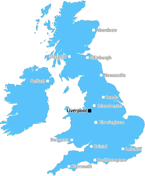
Liverpool (L15)
The L15 postcode area is located in the Liverpool postcode town region, within the county of Merseyside, and contains a total of 700 individual postcodes.
There are 1 electoral wards in the L15 postcode area, including Bootle, Liverpool, Ormskirk, Prescot which come under the local authority of the Liverpool Council.
Combining the whole postcode region, 22% of people in L15 are classed as having an AB social grade, (i.e. 'white-collar' middle-upper class), compared to 27% across the UK.
This does not mean that the people of L15 are poorer than other areas, but it may give an indication that there are areas of deprivation.
The L15 postcode covers the suburb of Liverpool, Merseyside. It encompasses the area of Wavertree, which is flanked by Childwall, Old Swan, and Wavertree Garden Suburb. The area is home to the popular Wavertree Technology Park and a number of well-used churches.
The area has a vibrant and diverse population and an abundance of places to eat, drink, and shop. There are popular caf�s, restaurants, and pubs like the Picton, The Mount, and the fabulous Fard L15. The area boasts several independent stores and other retail outlets. Aside from being known as the 'Clothing Capital of Liverpool', the area is home to the historic Wavertree Playground, where Prince Charles opened the Jubilee Gates in 1977.
education wise, L15 is known for its well performing schools, including Liverpool's only selective grammar school, Liverpool College. Wavertree also is host to one of Liverpool's best state secondary schools, Everton Valley Community High School. Liverpool Community College provides further education courses.
Wavertree also boasts several parks and sporting areas. Picturesque Greenbank Park is available for those seeking respite from the bustle of the City, and Wavertree Technology Park has become a haven for runners, walkers and cyclists alike. Multiple football pitches and tennis courts are present at Central Club.
Crime is relatively low in the area, with the majority of offences being violent behaviour related. Nonetheless, people will often find an increased community presence during peak times, with police patrols, CCTV cameras and other security measures in place to keep the area as safe as possible.
Transport links are plentiful in L15, served well by both public and private buses, plus good footpaths and a plethora of taxis. Liverpool Lime Street Station, Smithdown Road and Edge Lane are the closest major stations by rail and road.
L15 is definitely one of the best postcodes in Liverpool, boasting a strong community spirit. It is a great place to live and work, and for visitors to explore.

Demographics

Merseyside

L15 is located in the county of Merseyside, in England.
Merseyside has a total population of 1,406,400, making it the 9th largest county in the UK.
Merseyside has a total area of 250 square miles, and a population density of 2174 people per square kilometre. For comparison, Greater London has a density of 5,618 people/km2.
| Outward Code | L15 |
| Postal Town | Liverpool |
| MSOA Name | Liverpool 038 |
| LSOA Name | Liverpool 038C |
| County | Merseyside |
| Region | Merseyside |
| Country | England |
| Local Authority | Liverpool |
| Area Classification | Urban with Major Conurbation |
L15 Electoral Wards
The postal region of L15, includes the local towns, villages, electoral wards and stations of:
Dig even deeper into the L15 postcode by clicking on a postcode below:
Click on an outward postal code below for more information about the area. Each 'outward' postcode give you a comprehensive list of all postcodes within the outward code area (L) and estimated address.
Click on an 'outward' code for more information. For example, the outward postcode page 'EC2M' will give you an alphabetical list covering all postcodes located in the region, from 'EC2M 1BB' through to 'EC2M 7YA'.
Chris H
Saturday, April 6, 2024
We don't have any views of L15 right now. If you live in L15 or have visited it, please help us to help others by telling others what you think of this neighbourhood.
Add your view of L15
People need your local expertise. If you live in L15 or have first-hand knowledge of the neighbourhood, please consider sharing your views. It's completely anonymous - all we ask is for your initials.
Please tell us what you like about the L15 postcode area, what you don't like, and what it's like to live or work here.
| LOCAL AMENITIES | |
| FAMILY FRIENDLY | |
| PARKING | |
| GREEN SPACES |
Local News Merseyside
Artistic fantasy world gets listed status
The flat, known as Ron's Place, was secretly transformed by its tenant with weird and wonderful features.
BBC NewsCouncil boss defends leisure centre demolition
The Woodchurch leisure centre will be knocked down despite efforts by community groups to save it.
BBC NewsAnimal Rising rules out disrupting Grand National
Activist group Animal Rising says it will not disrupt the Grand National on 13 April and is suspending its campaign of direct again against horse racing.
BBC NewsLate Calvert-Lewin penalty earns point for Everton
Dominic Calvert-Lewin converts a late penalty as Everton gain a vital point in their battle to avoid relegation with a draw at Newcastle.
BBC NewsMP urges negotiations to end museums strike
More than 200 Liverpool museum workers walked out in February in a dispute over a cost-of-living payment.
BBC NewsGreat-grandad, 111, is world's oldest living man
John Tinniswood, from Merseyside, took the title after the death of the previous record-holder.
BBC NewsPC who had sex with vulnerable mother jailed
Cheshire Police constable Jordan Masterson insisted he was the victim but a jury rejected his claims.
BBC NewsTrain strikes: How will you be affected?
Rail workers at 16 companies are taking industrial action but tube strikes have been called off.
BBC NewsFrom the Postcode Area blog

Deciphering Crime Rates - a Deep Dive Into UK Postcode Analysis
Ever wondered about the crime rate in your UK postcode? You're not alone. We've dug deep into the data, uncovering trends and patterns that'll make your head spin.

Death of the High Street?
The BBC reports that despite councils' attempts to kurb them, the UK's high streets have seen a huge growth in fast food outlets. Could this mark the death knell for the Great British high street, and what can we do about it to halt its decline?

Discrimination by Postcode
You really couldn't make it up, could you? Some of the country's most vulnerable people are missing out on their weekly £25 Cold Weather Payment, just because the system that's in operation is discriminating against them because payments are based on postcode, rather than geographic location.

The Redesign is Underway
Well, the current website was absolutely in dire need of a good redesign - from the ground up. So I set out to pull it all apart and get it up and running again to become the most comprehensive guide to every postcode in the UK. And it's been a long, tough job from start to finish - and quite possibly the biggest project I've ever undertaken.
SOCIAL GRADES
According to census records, 22% of people here have a social grade of AB (highest), compared to the national average of 27%.