liverpool L12 Postcodes
Spending a fortune on conveyancing?

Compare instant, low-cost online quotes from trusted conveyancing solicitors.
Backed by experts, our no-obligation service searches through the best conveyancing quotes on the market to save you time and money.
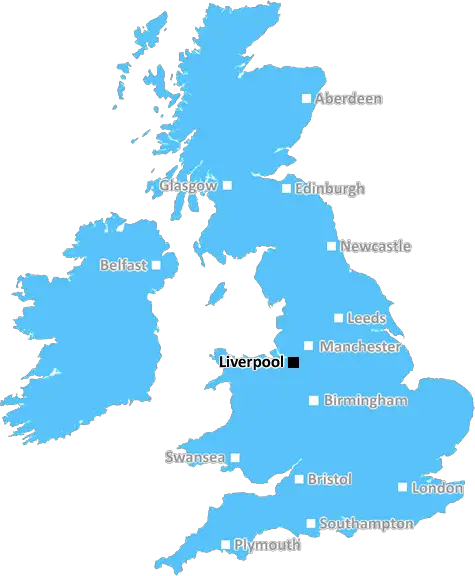
Liverpool (L12)
The L12 postcode area is located in the Liverpool postcode town region, within the county of Merseyside, and contains a total of 766 individual postcodes.
There are 7 electoral wards in the L12 postcode area, including Bootle, Liverpool, Ormskirk, Prescot which come under the local authority of the Liverpool Council.
Combining the whole postcode region, 17% of people in L12 are classed as having an AB social grade, (i.e. 'white-collar' middle-upper class), compared to 27% across the UK.
This does not mean that the people of L12 are poorer than other areas, but it may give an indication that there are areas of deprivation.
The L12 postcode covers the districts of Liverpool's suburbs of Tuebrook, Stoneycroft, Old Swan and Picton. All of these areas are situated within Liverpool's very own Central ward.
Tuebrook is located to the north west of the city and is full of local independent stores, as well as having many supermarkets and retail outlets, making it a popular shopping destination amongst locals. While Stoneycroft is a residential area located to the west of the city, it is popular amongst families who enjoy accessing the open green spaces and parks nearby. Old Swan is a popular residential area that sits right in the heart of the city, with access to amenities like supermarkets and other local shops . Picton is located in the south-west of the city and holds a vibrant selection of bars, restaurants and shops.
The postcode area is most popular amongst people looking for good schools and nurseries; it is well known for being in the catchment of excellent schools like Fazakerley High and Broadgreen Primary. The area is well connected, with motorway access closeby(M62 and M57), making commuting easy. It is also only a short drive from Liverpool city centre and its attractions.
Transport links also include frequent bus routes and easy access to tramlines. Tuebrook is the home of one of the oldest railway stations in the city, which provides services to various destinations throughout the Merseyside area. The area is also served by the Sandhills railway station, located between Liverpool and Old Swan.
When it comes to leisure and culture, L12 has an ample supply. It is home to popular parks including Sefton Park and Stanley Park, which both boast caf�s, lakes, and beautiful gardens. For more cultural activities, the Blackler Art & Cultural Theatre can be found in Tuebrook, alongside the beautiful Memorial Hall.
For ancient history buffs, Picton is home to the historic Picton Clock Tower, built in 1881, which is known for its amazing carvings and intricate designs. There are also plenty of restaurants and takeaways in and around all of the districts, so diners have a range of cuisines to choose from. L12 also provides easy access to the famous Croxteth Park, which has a range of activities include horse riding, wall climbing, high-ropes courses and more.

Demographics

Merseyside

L12 is located in the county of Merseyside, in England.
Merseyside has a total population of 1,406,400, making it the 9th largest county in the UK.
Merseyside has a total area of 250 square miles, and a population density of 2174 people per square kilometre. For comparison, Greater London has a density of 5,618 people/km2.
| Outward Code | L12 |
| Postal Town | Liverpool |
| MSOA Name | Liverpool 013 |
| LSOA Name | Liverpool 013B |
| County | Merseyside |
| Region | Merseyside |
| Country | England |
| Local Authority | Liverpool |
| Area Classification | Urban with Major Conurbation |
L12 Electoral Wards
The postal region of L12, includes the local towns, villages, electoral wards and stations of:
Dig even deeper into the L12 postcode by clicking on a postcode below:
Click on an outward postal code below for more information about the area. Each 'outward' postcode give you a comprehensive list of all postcodes within the outward code area (L) and estimated address.
Click on an 'outward' code for more information. For example, the outward postcode page 'EC2M' will give you an alphabetical list covering all postcodes located in the region, from 'EC2M 1BB' through to 'EC2M 7YA'.
LP, Liverpool
Tuesday, March 28, 2023
Hi I'm trying to find out it anyone own the private road near Woodhaven Close that carries on to Littewood Greenway near Croxteth park
Add your view of L12
People need your local expertise. If you live in L12 or have first-hand knowledge of the neighbourhood, please consider sharing your views. It's completely anonymous - all we ask is for your initials.
Please tell us what you like about the L12 postcode area, what you don't like, and what it's like to live or work here.
| LOCAL AMENITIES | |
| FAMILY FRIENDLY | |
| PARKING | |
| GREEN SPACES |
Local News Merseyside
Animal Rising rules out disrupting Grand National
Activist group Animal Rising says it will not disrupt the Grand National on 13 April and is suspending its campaign of direct again against horse racing.
BBC NewsCannabis farm compost given to local community
Cheshire Police has donated soil from a cannabis farm raid in Warrington to the town council.
BBC NewsRare giraffe calf kicks up heels in first outing
The giraffe is captured playing with the rest of the herd on its first outing at Chester Zoo.
BBC News'I wish our daughter had spoken to this police force'
The parents of Gracie Spinks, who was killed by her stalker, visit a dedicated police unit.
BBC NewsEverton beat Burnley to boost survival hopes
Dominic Calvert-Lewin capitalises on an Arijanet Muric error to score his second goal in as many games and help Everton to a priceless win over fellow strugglers Burnley.
BBC NewsHospital staff reach deal after months of strikes
Clinical support workers had voted overwhelmingly to renew their strike mandate.
BBC NewsTranmere Rovers 1-3 Walsall
Walsall remain in the hunt for a League Two play off place after a 3-1 comeback win against Tranmere at Prenton Park.
BBC NewsCouncil boss defends leisure centre demolition
The Woodchurch leisure centre will be knocked down despite efforts by community groups to save it.
BBC NewsFrom the Postcode Area blog

Deciphering Crime Rates - a Deep Dive Into UK Postcode Analysis
Ever wondered about the crime rate in your UK postcode? You're not alone. We've dug deep into the data, uncovering trends and patterns that'll make your head spin.

Death of the High Street?
The BBC reports that despite councils' attempts to kurb them, the UK's high streets have seen a huge growth in fast food outlets. Could this mark the death knell for the Great British high street, and what can we do about it to halt its decline?

Discrimination by Postcode
You really couldn't make it up, could you? Some of the country's most vulnerable people are missing out on their weekly £25 Cold Weather Payment, just because the system that's in operation is discriminating against them because payments are based on postcode, rather than geographic location.

The Redesign is Underway
Well, the current website was absolutely in dire need of a good redesign - from the ground up. So I set out to pull it all apart and get it up and running again to become the most comprehensive guide to every postcode in the UK. And it's been a long, tough job from start to finish - and quite possibly the biggest project I've ever undertaken.
SOCIAL GRADES
According to census records, 17% of people here have a social grade of AB (highest), compared to the national average of 27%.