ipswich IP3 Postcodes
Spending a fortune on conveyancing?

Compare instant, low-cost online quotes from trusted conveyancing solicitors.
Backed by experts, our no-obligation service searches through the best conveyancing quotes on the market to save you time and money.
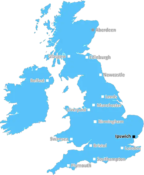
Ipswich (IP3)
The IP3 postcode area is located in the Ipswich postcode town region, within the county of Suffolk, and contains a total of 901 individual postcodes.
There are 56 electoral wards in the IP3 postcode area, including Aldeburgh, Brandon, Bury St Edmunds, Diss, Eye, Felixstowe, Halesworth, Harleston, Ipswich, Leiston, Saxmundham, Southwold, Stowmarket, Thetford, Woodbridge which come under the local authority of the Ipswich Council.
Combining the whole postcode region, 19% of people in IP3 are classed as having an AB social grade, (i.e. 'white-collar' middle-upper class), compared to 27% across the UK.
This does not mean that the people of IP3 are poorer than other areas, but it may give an indication that there are areas of deprivation.
IP3 is a postcode district in the Ipswich area of Suffolk, England. It covers the area of the towns of Ipswich and Martlesham Heath along with regions of Colchester Road, Main Road, Nacton, Newbourne, Old Felixstowe, Playford, Westerfield, and Witnesham.
The postcode district is located in the South Eastern region of England and falls in the East Anglia area. It is located in the parliamentary constituency of Central Suffolk and North Ipswich.
Several major routes are served by the IP3 postcode district, including the A12 connecting London to Great Yarmouth, the A14 connecting Suffolk to Cambridgeshire, and the A137 connecting London to Ipswich. Public transport is also plentiful with the nearest railway station being located in Ipswich, which has services from London Liverpool Street and Norwich amongst other destinations.
IP3 encompasses many different business sectors such as hospitality, retail, manufacturing, and leisure amongst many others. Tourist sights include the Suffolk Food Hall, Ipswich Museum, Christchurch Mansion, Ipswich Maritime Centre, and the Ipswich Art School amongst many more. Shopping centres and retail parks are present in Ipswich town including the Butter Market Shopping Centre, Copdock Mill, Tower Ramparts Shopping Centre, and Ransomes Europark.
There is lots of green space to enjoy in the IP3 postcode district with local parks including Holywells Park, Chantry Park, Felixstowe Beach, Henley Road Park, Berkeley's Meadows and Cosford Hills Nature reserve.
The postcode district contains several educational authorities in Ipswich such as the University of Suffolk, the University Campus Suffolk, Stoke High School, and Saints Peter and John C of E Primary School.
IP3 postcode district offers lots of exciting opportunities from sights, shopping, parks, education, to transport connections.

Demographics

Suffolk

IP3 is located in the county of Suffolk, in England.
Suffolk has a total population of 745,300, making it the 32nd largest county in the UK.
Suffolk has a total area of 1500 square miles, and a population density of 196 people per square kilometre. For comparison, Greater London has a density of 5,618 people/km2.
| Outward Code | IP3 |
| Postal Town | Ipswich |
| MSOA Name | Ipswich 016 |
| LSOA Name | Ipswich 016C |
| County | Suffolk |
| Region | Suffolk |
| Country | England |
| Local Authority | Ipswich |
| Area Classification | Urban with City and Town |
IP3 Electoral Wards
The postal region of IP3, includes the local towns, villages, electoral wards and stations of:
Dig even deeper into the IP3 postcode by clicking on a postcode below:
Click on an outward postal code below for more information about the area. Each 'outward' postcode give you a comprehensive list of all postcodes within the outward code area (IP) and estimated address.
Click on an 'outward' code for more information. For example, the outward postcode page 'EC2M' will give you an alphabetical list covering all postcodes located in the region, from 'EC2M 1BB' through to 'EC2M 7YA'.
Chris H
Sunday, April 7, 2024
We don't have any views of IP3 right now. If you live in IP3 or have visited it, please help us to help others by telling others what you think of this neighbourhood.
Add your view of IP3
People need your local expertise. If you live in IP3 or have first-hand knowledge of the neighbourhood, please consider sharing your views. It's completely anonymous - all we ask is for your initials.
Please tell us what you like about the IP3 postcode area, what you don't like, and what it's like to live or work here.
| LOCAL AMENITIES | |
| FAMILY FRIENDLY | |
| PARKING | |
| GREEN SPACES |
Local News Suffolk
Plan for 485 new homes rejected over identity fears
Councillors also say the development would have "unacceptable impact on highway safety".
BBC NewsNorwich beat Ipswich in East Anglian derby
Ipswich Town are overtaken by Leicester at the top of the Championship following defeat by Norwich City in the East Anglian derby.
BBC NewsNess Point to the Dingle Peninsula in a 2CV
Matt Hollis is driving from the British Isles' most easterly point to its most westerly.
BBC NewsFormer British speedway Champion dies aged 82
The former Ipswich Witches rider and "legend" John "Tiger" Louis has died, the club says.
BBC NewsHead teachers locked SEND pupils in rooms - report
Odran Doran and Simon Black are banned from teaching as allegations against them are proven.
BBC NewsThe fans don't know the full story - Downes
Flynn Downes shares his frustrations after being booed by his former club's supporters.
BBC NewsMan in court accused of 14 child sex offences
Kevin Brett is released on bail until his next hearing in May.
BBC NewsHospital trust reveals plan to privatise jobs
Staff are being "thrown to the wolves" by the outsourcing of roles, a union representative claims.
BBC NewsFrom the Postcode Area blog

Deciphering Crime Rates - a Deep Dive Into UK Postcode Analysis
Ever wondered about the crime rate in your UK postcode? You're not alone. We've dug deep into the data, uncovering trends and patterns that'll make your head spin.

Death of the High Street?
The BBC reports that despite councils' attempts to kurb them, the UK's high streets have seen a huge growth in fast food outlets. Could this mark the death knell for the Great British high street, and what can we do about it to halt its decline?

Discrimination by Postcode
You really couldn't make it up, could you? Some of the country's most vulnerable people are missing out on their weekly £25 Cold Weather Payment, just because the system that's in operation is discriminating against them because payments are based on postcode, rather than geographic location.

The Redesign is Underway
Well, the current website was absolutely in dire need of a good redesign - from the ground up. So I set out to pull it all apart and get it up and running again to become the most comprehensive guide to every postcode in the UK. And it's been a long, tough job from start to finish - and quite possibly the biggest project I've ever undertaken.
SOCIAL GRADES
According to census records, 19% of people here have a social grade of AB (highest), compared to the national average of 27%.