hull HU4 Postcodes
Spending a fortune on conveyancing?

Compare instant, low-cost online quotes from trusted conveyancing solicitors.
Backed by experts, our no-obligation service searches through the best conveyancing quotes on the market to save you time and money.
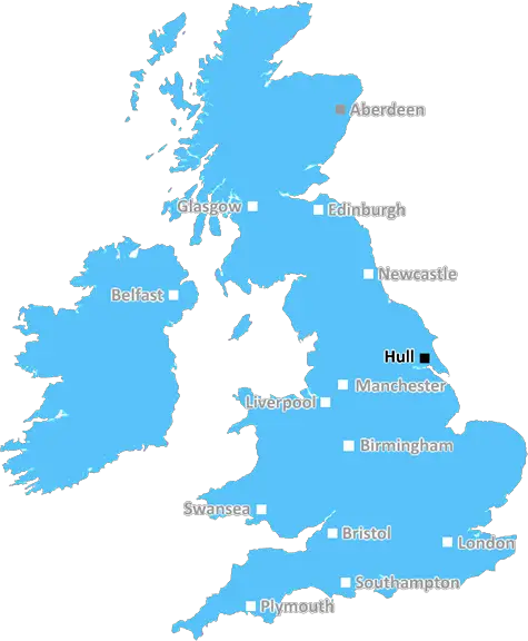
Hull (HU4)
The HU4 postcode area is located in the Hull postcode town region, within the county of Yorkshire, and contains a total of 511 individual postcodes.
There are 3 electoral wards in the HU4 postcode area, including Beverley, Brough, Cottingham, Hessle, Hornsea, Hull, North Ferriby, Withernsea which come under the local authority of the Kingston upon Hull, City of Council.
Combining the whole postcode region, 12% of people in HU4 are classed as having an AB social grade, (i.e. 'white-collar' middle-upper class), compared to 27% across the UK.
This does not mean that the people of HU4 are poorer than other areas, but it may give an indication that there are areas of deprivation.
HU4 is an area in the East Riding of Yorkshire, part of the Hull postcode district in Humberside. The HU4 postcode area includes Hessle, parts of Boothferry, Bransholme, and the northernmost part of East Hull.
The area is home to a number of notable landmarks, including the Humber Bridge and the Hessle Foreshore. The area is also home to a number of wildlife habitats, such as the Humber Estuary and its tributaries, providing a haven for several species of birds and wildlife.
The region is also home to a number of historical sites, such as the All Saints Church in Hessle, which dates back to 1343. Another local attraction is the Westella & Willerby Showground, located off Hessle Foreshore, which hosts a number of events throughout the year.
The area is served by an extensive bus network, with regular services connecting the area with Hull, East Yorkshire and other nearby towns.
Hull Royal Infirmary is located in the postcode area, providing healthcare services to the local community. It is also home to several schools and colleges, including Hessle High School and South Hunsley School. Other amenities in the area include a range of shops, cafes, bars and restaurants, as well as a range of leisure facilities such as parks, golf courses and gyms.
The HU4 area has a wide range of housing, with the majority of properties being semi-detached or detached houses. The average house price is around �160,000. The area is also home to a number of sheltered accommodation schemes, providing affordable housing to the elderly or those on a low income.
HU4 is a diverse and vibrant area with a range of amenities and services, making it an attractive location to live in or visit.

Demographics
Yorkshire

HU4 is located in the county of Yorkshire, in England.
Yorkshire has a total population of 0, making it the largest county in the UK.
Yorkshire has a total area of square miles, and a population density of people per square kilometre. For comparison, Greater London has a density of 5,618 people/km2.
| Outward Code | HU4 |
| Postal Town | Hull |
| MSOA Name | Kingston upon Hull 028 |
| LSOA Name | Kingston upon Hull 028E |
| County | Yorkshire |
| Region | Yorkshire |
| Country | England |
| Local Authority | Kingston upon Hull, City of |
| Area Classification | Urban with City and Town |
HU4 Electoral Wards
The postal region of HU4, includes the local towns, villages, electoral wards and stations of:
Dig even deeper into the HU4 postcode by clicking on a postcode below:
Click on an outward postal code below for more information about the area. Each 'outward' postcode give you a comprehensive list of all postcodes within the outward code area (HU) and estimated address.
Click on an 'outward' code for more information. For example, the outward postcode page 'EC2M' will give you an alphabetical list covering all postcodes located in the region, from 'EC2M 1BB' through to 'EC2M 7YA'.
Chris H
Sunday, April 7, 2024
We don't have any views of HU4 right now. If you live in HU4 or have visited it, please help us to help others by telling others what you think of this neighbourhood.
Add your view of HU4
People need your local expertise. If you live in HU4 or have first-hand knowledge of the neighbourhood, please consider sharing your views. It's completely anonymous - all we ask is for your initials.
Please tell us what you like about the HU4 postcode area, what you don't like, and what it's like to live or work here.
| LOCAL AMENITIES | |
| FAMILY FRIENDLY | |
| PARKING | |
| GREEN SPACES |
From the Postcode Area blog

Deciphering Crime Rates - a Deep Dive Into UK Postcode Analysis
Ever wondered about the crime rate in your UK postcode? You're not alone. We've dug deep into the data, uncovering trends and patterns that'll make your head spin.

Death of the High Street?
The BBC reports that despite councils' attempts to kurb them, the UK's high streets have seen a huge growth in fast food outlets. Could this mark the death knell for the Great British high street, and what can we do about it to halt its decline?

Discrimination by Postcode
You really couldn't make it up, could you? Some of the country's most vulnerable people are missing out on their weekly £25 Cold Weather Payment, just because the system that's in operation is discriminating against them because payments are based on postcode, rather than geographic location.

The Redesign is Underway
Well, the current website was absolutely in dire need of a good redesign - from the ground up. So I set out to pull it all apart and get it up and running again to become the most comprehensive guide to every postcode in the UK. And it's been a long, tough job from start to finish - and quite possibly the biggest project I've ever undertaken.
SOCIAL GRADES
According to census records, 12% of people here have a social grade of AB (highest), compared to the national average of 27%.