hull HU15 Postcodes
Spending a fortune on conveyancing?

Compare instant, low-cost online quotes from trusted conveyancing solicitors.
Backed by experts, our no-obligation service searches through the best conveyancing quotes on the market to save you time and money.
Hull (HU15)
The HU15 postcode area is located in the Hull postcode town region, within the county of Yorkshire, and contains a total of 771 individual postcodes.
There are 31 electoral wards in the HU15 postcode area, including Beverley, Brough, Cottingham, Hessle, Hornsea, Hull, North Ferriby, Withernsea which come under the local authority of the East Riding of Yorkshire Council.
Combining the whole postcode region, 31% of people in HU15 are classed as having an AB social grade, (i.e. 'white-collar' middle-upper class), compared to 27% across the UK.
This does not mean that the people of HU15 are wealthier - or higher class - than average, but it can be an indication that the area may be prospering and desirable to live in.
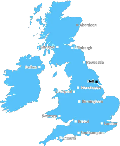
HU15 postcode is located in the East Riding of Yorkshire and covers parts of several villages outside Hull, including Brough, Hook, Gilberdyke, Swanland, Sandholme, North Cave, Elloughton, Melton, North Ferriby, Welton, and Barton upon Humber. It is five miles south-west of the city of Hull and covers an area of 86 square kilometres.
The postcode has a majority of semi-detached and detached homes and is predominantly residential, with good transport links to other parts of the region. It is a relatively affluent area, with house prices being higher than the regional average.
The area is served by two primary schools: North Cave Primary School and Elloughton Primary School. There are also two secondary academies, Wolfreton and The Snaith School, both of which are graded as good schools according to Ofsted.
The nearest railway station to the postcode is Brough Station, which provides services direct to Hull, Leeds, Doncaster, and Sheffield as well as other destinations across the country. There are also a number of bus routes serving the postcode and it is located close to the M62 motorway.
The area has a variety of leisure and entertainment opportunities, notably a multiplex cinema, bowling alley, and several pubs, restaurants, and takeaways. It is also home to the historic Grade I listed 'Linley Monument', which overlooks the Humber Estuary.
HU15 postcode offers a safe and pleasant environment for families looking for a rural escape but with good transport links to larger urban areas. With its good mix of educational and recreational facilities, it is an attractive area for those looking to raise a family or commute to work and other urban centres.

Demographics
Yorkshire

HU15 is located in the county of Yorkshire, in England.
Yorkshire has a total population of 0, making it the largest county in the UK.
Yorkshire has a total area of square miles, and a population density of people per square kilometre. For comparison, Greater London has a density of 5,618 people/km2.
| Outward Code | HU15 |
| Postal Town | Hull |
| MSOA Name | East Riding of Yorkshire 032 |
| LSOA Name | East Riding of Yorkshire 032C |
| County | Yorkshire |
| Region | Yorkshire |
| Country | England |
| Local Authority | East Riding of Yorkshire |
| Area Classification | Largely Rural (rural including hub towns 50-79%) |
HU15 Electoral Wards
The postal region of HU15, includes the local towns, villages, electoral wards and stations of:
Dig even deeper into the HU15 postcode by clicking on a postcode below:
Click on an outward postal code below for more information about the area. Each 'outward' postcode give you a comprehensive list of all postcodes within the outward code area (HU) and estimated address.
Click on an 'outward' code for more information. For example, the outward postcode page 'EC2M' will give you an alphabetical list covering all postcodes located in the region, from 'EC2M 1BB' through to 'EC2M 7YA'.
Chris H
Monday, April 8, 2024
We don't have any views of HU15 right now. If you live in HU15 or have visited it, please help us to help others by telling others what you think of this neighbourhood.
Add your view of HU15
People need your local expertise. If you live in HU15 or have first-hand knowledge of the neighbourhood, please consider sharing your views. It's completely anonymous - all we ask is for your initials.
Please tell us what you like about the HU15 postcode area, what you don't like, and what it's like to live or work here.
| LOCAL AMENITIES | |
| FAMILY FRIENDLY | |
| PARKING | |
| GREEN SPACES |
From the Postcode Area blog

Deciphering Crime Rates - a Deep Dive Into UK Postcode Analysis
Ever wondered about the crime rate in your UK postcode? You're not alone. We've dug deep into the data, uncovering trends and patterns that'll make your head spin.

Death of the High Street?
The BBC reports that despite councils' attempts to kurb them, the UK's high streets have seen a huge growth in fast food outlets. Could this mark the death knell for the Great British high street, and what can we do about it to halt its decline?

Discrimination by Postcode
You really couldn't make it up, could you? Some of the country's most vulnerable people are missing out on their weekly £25 Cold Weather Payment, just because the system that's in operation is discriminating against them because payments are based on postcode, rather than geographic location.

The Redesign is Underway
Well, the current website was absolutely in dire need of a good redesign - from the ground up. So I set out to pull it all apart and get it up and running again to become the most comprehensive guide to every postcode in the UK. And it's been a long, tough job from start to finish - and quite possibly the biggest project I've ever undertaken.
SOCIAL GRADES
According to census records, 31% of people here have a social grade of AB (highest), compared to the national average of 27%.