hull HU10 Postcodes
Spending a fortune on conveyancing?

Compare instant, low-cost online quotes from trusted conveyancing solicitors.
Backed by experts, our no-obligation service searches through the best conveyancing quotes on the market to save you time and money.
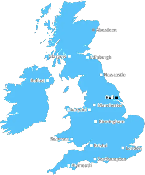
Hull (HU10)
The HU10 postcode area is located in the Hull postcode town region, within the county of Yorkshire, and contains a total of 633 individual postcodes.
There are 6 electoral wards in the HU10 postcode area, including Beverley, Brough, Cottingham, Hessle, Hornsea, Hull, North Ferriby, Withernsea which come under the local authority of the East Riding of Yorkshire Council.
Combining the whole postcode region, 26% of people in HU10 are classed as having an AB social grade, (i.e. 'white-collar' middle-upper class), compared to 27% across the UK.
This does not mean that the people of HU10 are poorer than other areas, but it may give an indication that there are areas of deprivation.
The HU10 postcode, in the East Riding of Yorkshire, covers the northern part of Hull. The area covered includes the Argyle Street and Clarence Street area, as well as Hessle and Anlaby. The postcode lies within a mainly rural area, with the neighbourhoods of Southcoates and Southcoates West containing a large residential area. A number of public services can be found in the area, with Bransholme Health Centre and Southcoates Primary Care Centre being the main ones. Other amenities include retail and leisure facilities, gymnasiums, golf courses and religious centres.
HU10 has excellent transport links to the rest of the city, with Anlaby Road providing direct access to the A63, the main arterial route into Hull. The M62 motorway lies to the south of the postcode, providing quick access to Leeds and Manchester. Bus routes serve most of the area, and the nearest train station is located in Hull itself.
In terms of education, HU10 is home to Springfield Primary School and Endeavour Primary Academy, as well as a number of private schools. Hull College is also located within the postcode.
The area is predominantly residential, although there are a number of small scale industrial and commercial premises clustered around Hessle Road. There are a number of independent shops located along Hessle Road, Argyle Street and Anlaby Road, and a number of restaurants, cafes and pubs can also be found around the locality.
In terms of green spaces, the nearby East Park offers plenty of recreational activities for the whole family, with a lake, bowling green, skate park, golf course and children's play area all being available. Southcoates and Endike East Nature Reserves are also located in HU10, and these provide great opportunities for nature-lovers.
HU10 is an excellent place to live and work, as there are excellent transport links, retail and leisure opportunities, and plenty of green spaces. It is a great place for families to settle as there are plenty of schools and social amenities nearby, as well as good access to major transport networks.

Demographics
Yorkshire

HU10 is located in the county of Yorkshire, in England.
Yorkshire has a total population of 0, making it the largest county in the UK.
Yorkshire has a total area of square miles, and a population density of people per square kilometre. For comparison, Greater London has a density of 5,618 people/km2.
| Outward Code | HU10 |
| Postal Town | Hull |
| MSOA Name | East Riding of Yorkshire 027 |
| LSOA Name | East Riding of Yorkshire 027E |
| County | Yorkshire |
| Region | Yorkshire |
| Country | England |
| Local Authority | East Riding of Yorkshire |
| Area Classification | Largely Rural (rural including hub towns 50-79%) |
HU10 Electoral Wards
The postal region of HU10, includes the local towns, villages, electoral wards and stations of:
Dig even deeper into the HU10 postcode by clicking on a postcode below:
Click on an outward postal code below for more information about the area. Each 'outward' postcode give you a comprehensive list of all postcodes within the outward code area (HU) and estimated address.
Click on an 'outward' code for more information. For example, the outward postcode page 'EC2M' will give you an alphabetical list covering all postcodes located in the region, from 'EC2M 1BB' through to 'EC2M 7YA'.
Chris H
Sunday, April 7, 2024
We don't have any views of HU10 right now. If you live in HU10 or have visited it, please help us to help others by telling others what you think of this neighbourhood.
Add your view of HU10
People need your local expertise. If you live in HU10 or have first-hand knowledge of the neighbourhood, please consider sharing your views. It's completely anonymous - all we ask is for your initials.
Please tell us what you like about the HU10 postcode area, what you don't like, and what it's like to live or work here.
| LOCAL AMENITIES | |
| FAMILY FRIENDLY | |
| PARKING | |
| GREEN SPACES |
From the Postcode Area blog

Deciphering Crime Rates - a Deep Dive Into UK Postcode Analysis
Ever wondered about the crime rate in your UK postcode? You're not alone. We've dug deep into the data, uncovering trends and patterns that'll make your head spin.

Death of the High Street?
The BBC reports that despite councils' attempts to kurb them, the UK's high streets have seen a huge growth in fast food outlets. Could this mark the death knell for the Great British high street, and what can we do about it to halt its decline?

Discrimination by Postcode
You really couldn't make it up, could you? Some of the country's most vulnerable people are missing out on their weekly £25 Cold Weather Payment, just because the system that's in operation is discriminating against them because payments are based on postcode, rather than geographic location.

The Redesign is Underway
Well, the current website was absolutely in dire need of a good redesign - from the ground up. So I set out to pull it all apart and get it up and running again to become the most comprehensive guide to every postcode in the UK. And it's been a long, tough job from start to finish - and quite possibly the biggest project I've ever undertaken.
SOCIAL GRADES
According to census records, 26% of people here have a social grade of AB (highest), compared to the national average of 27%.