hemel-hempstead HP27 Postcodes
Spending a fortune on conveyancing?

Compare instant, low-cost online quotes from trusted conveyancing solicitors.
Backed by experts, our no-obligation service searches through the best conveyancing quotes on the market to save you time and money.
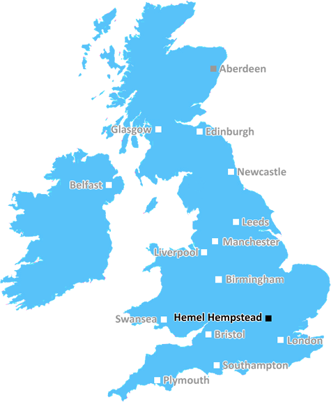
Hemel Hempstead (HP27)
The HP27 postcode area is located in the Hemel Hempstead postcode town region, within the county of Buckinghamshire, and contains a total of 602 individual postcodes.
There are 41 electoral wards in the HP27 postcode area, including Amersham, Aylesbury, Beaconsfield, Berkhamsted, Chalfont St Giles, Chesham, Great Missenden, Hemel Hempstead, High Wycombe, Princes Risborough, Tring which come under the local authority of the Wycombe Council.
Combining the whole postcode region, 42% of people in HP27 are classed as having an AB social grade, (i.e. 'white-collar' middle-upper class), compared to 27% across the UK.
This does not mean that the people of HP27 are wealthier - or higher class - than average, but it can be an indication that the area may be prospering and desirable to live in.
The HP27 postcode is located in the English county of Buckinghamshire. It covers the towns of Chesham, Little Chalfont and Amersham, as well as their surrounding villages. It is serviced by the Metropolitan line of the London Underground between Amersham and Chesham.
Chesham is a typically English market town with a protected town centre and a number of listed buildings. It has a selection of independent local shops, restaurants, pubs and boutiques, as well as supporting an array of regular weekly, monthly and annual events such as the Chesham Carnival.
Little Chalfont is situated 5 miles to the east of Chesham and is a very pleasant village with a popular local pub, The Five Arrows. Its proximity to the M25 makes it convenient for commuters to London or Birmingham.
Amersham is a large town and is the largest of the HP27 postcode towns. It is known for its weekly market, its art centre, Amersham Museum and wide variety of shops, pubs and restaurants. It is home to a number of large employers, such as the UK Government's Joint Intelligence Organisation that was formerly located in Amersham.
Much of the HP27 postcode lies in the picturesque Chilterns Area of Outstanding Natural Beauty. It is also home to the Bovingdon Market, the popular Sunday car boot sale. The area also has some fantastic parks and open spaces of local interest, including The Moat, a scheduled ancient monument and area of special scientific interest, and Chiltern Open Air Museum.
The HP27 postcode is full of opportunities for those looking to explore the area. Whether it's outdoor activities like walking, cycling, or horse riding, or days out at attractions such as the Chiltern Hills or Amersham Museum, there is something for everyone.

Demographics

Buckinghamshire

HP27 is located in the county of Buckinghamshire, in England.
Buckinghamshire has a total population of 799,200, making it the 30th largest county in the UK.
Buckinghamshire has a total area of 723 square miles, and a population density of 426 people per square kilometre. For comparison, Greater London has a density of 5,618 people/km2.
| Outward Code | HP27 |
| Postal Town | Hemel Hempstead |
| MSOA Name | Wycombe 001 |
| LSOA Name | Wycombe 001A |
| County | Buckinghamshire |
| Region | Buckinghamshire |
| Country | England |
| Local Authority | Wycombe |
| Area Classification | Urban with Significant Rural (rural including hub towns 26-49%) |
HP27 Electoral Wards
The postal region of HP27, includes the local towns, villages, electoral wards and stations of:
Dig even deeper into the HP27 postcode by clicking on a postcode below:
Click on an outward postal code below for more information about the area. Each 'outward' postcode give you a comprehensive list of all postcodes within the outward code area (HP) and estimated address.
Click on an 'outward' code for more information. For example, the outward postcode page 'EC2M' will give you an alphabetical list covering all postcodes located in the region, from 'EC2M 1BB' through to 'EC2M 7YA'.
Chris H
Tuesday, April 9, 2024
We don't have any views of HP27 right now. If you live in HP27 or have visited it, please help us to help others by telling others what you think of this neighbourhood.
Add your view of HP27
People need your local expertise. If you live in HP27 or have first-hand knowledge of the neighbourhood, please consider sharing your views. It's completely anonymous - all we ask is for your initials.
Please tell us what you like about the HP27 postcode area, what you don't like, and what it's like to live or work here.
| LOCAL AMENITIES | |
| FAMILY FRIENDLY | |
| PARKING | |
| GREEN SPACES |
Local News Buckinghamshire
Mixed-use London freehold to lead Allsop's March residential auction
Thefreeholdbuilding in Hampstead is guided at 2.5m-plus.
Property WeekMan seriously hurt after car crashes into roundabout
A 27-year-old suspect is arrested on suspicion of causing serious injury by dangerous driving.
BBC NewsDelays on M25 and M1 as equipment is transported
An abnormal load bound for a power station will affect some M1 and M25 traffic this weekend.
BBC NewsNo hosepipe ban, says Anglian Water
Anglian Water says it has no plans to restrict the use of hosepipes this summer.
BBC News99 for a private ambulance in Hertfordshire
MET Medical has launched the service for St Albans, Harpenden, Hatfield and Welwyn.
BBC NewsQuadrant gets green light for residential-led scheme in Kent
The project will also include the development of more than 376,700 sq ft of grade-A commercial space.
Property WeekCrawley's The Create Building lands British Airways Holidays as tenant
The company has signed a lease for the top floor of the nine-storey tower.
Property WeekTT Group sells Southampton industrial units for 5.7m
The 1.85-acre siteis split into two self-contained units, one let to Sentry Self Storage and the other to Active Freight Management.
Property WeekFrom the Postcode Area blog

Deciphering Crime Rates - a Deep Dive Into UK Postcode Analysis
Ever wondered about the crime rate in your UK postcode? You're not alone. We've dug deep into the data, uncovering trends and patterns that'll make your head spin.

Death of the High Street?
The BBC reports that despite councils' attempts to kurb them, the UK's high streets have seen a huge growth in fast food outlets. Could this mark the death knell for the Great British high street, and what can we do about it to halt its decline?

Discrimination by Postcode
You really couldn't make it up, could you? Some of the country's most vulnerable people are missing out on their weekly £25 Cold Weather Payment, just because the system that's in operation is discriminating against them because payments are based on postcode, rather than geographic location.

The Redesign is Underway
Well, the current website was absolutely in dire need of a good redesign - from the ground up. So I set out to pull it all apart and get it up and running again to become the most comprehensive guide to every postcode in the UK. And it's been a long, tough job from start to finish - and quite possibly the biggest project I've ever undertaken.
SOCIAL GRADES
According to census records, 42% of people here have a social grade of AB (highest), compared to the national average of 27%.