
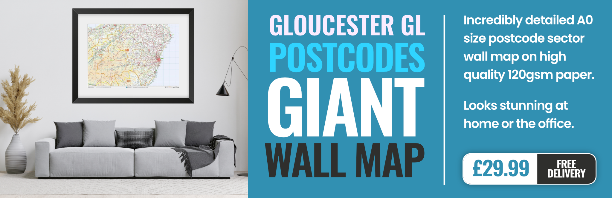
GL6 7EW Postcode Area
Use the postcode street map opposite - and the information below - to discover useful information for the GL6 7EW postcode area in Gloucester.
We've got loads of statistics for GL6 7EW, including demographic data, local facilities, travel essentials, hotel accommodation, crime rates and much more.
What social class do the population of GL6 7EW belong to? What are the predominant ethnic groups? How deprived is GL6 7EW in Gloucester, how professionally qualified are the community, and how many hours a week do they work? All this, and more information and demographic statistics about GL6 7EW from the Census 2011.
Discover GL6 7EW
People and Demographics
GL6 7EW
Demographics
An in-depth look at the demographic data of the people who live in GL6 7EW, including ethnicity, religious beliefs, age breakdown and social grades.

Crime Rates
Police crime stats - see how safe it is around GL6 7EW, including burglaries, ASBOs, vehicle crime and violent crime. How does this area compare?

Constituency
Find out the voting intentions, poll results, your local MP, 2015 election results and voting turnout for your local constituency.

Local Issues
In conjunction with FixMyStreet, view problems around GL6 7EW reported by local residents, including flytipping, graffiti, faulty street lighting etc.

Sunrise/Sunset
Sunrise (dawn) and sunset (dusk) times for today as well as for the next month for the postcode area GL67EW. Wakey wakey, rise and shine!

Job Vacancies
Looking for job vacancies in the GL6 7EW area? Find out what positions are available in this area, as well as further afield in surrounding areas.
Travel & Transport
GL6 7EW
Travel
Travelling to this postcode area? Find the nearest train station, railway, or nearest bus stop to GL6 7EW.

Traffic Reports
Don't let traffic become a pain in the bumper. The latest road traffic incidents & traffic jams around this postcode.

Taxi Firms
Book a taxi and leave the car at home. Here's a list of taxi and mini cab companies operating in the GL6 7EW area.

Car Parks
Locate the nearest car parks near GL6 7EW, so you can leave your car safely while you pop to the shops.
Leisure & Outdoor Facilities
GL6 7EW
Events
From local gigs to heritage events, and car boot sales to shows at the local theatre, find out what's on around GL6 7EW.

Attractions
Enjoy a great family day out at a local attraction near GL6 7EW, including theme parks, castles, historic castles & more.

Hotels
Comfortable, quality bed & breakfast and hotel accommodation located within a 15 miles of the postcode area GL6 7EW.

Tourist Information
Locate the nearest car parks near GL6 7EW, so you can leave your car safely while you pop to the shops.
Local Amenities
GL6 7EW
Banks
Find the nearest bank or building society in GL6 7EW. Map locations, email addresses & customer services phone numbers.

Cash Machines
Locations of the nearest cash withdrawal machines (ATMs) in the GL6 7EW postcode area that dispense money.

Schools
The nearest schools in the GL6 7EW area, including their latest Ofsted Results, pupil statistics and test results.

Shopping Centres
Shop until you drop at a retail park or shopping centre near here. There's nothing quite like a bit of retail therapy.

Police Stations
Report a crime or make an enquiry at your local police station or constabulary in your area. Phone 101 in a non-emergency.

Emergency Facilities
A handy list of emergency information in this area, including hospitals, doctors, chemists and emergency services near GL6 7EW.

Post Offices
Whether you want to send a letter, make a Post Office transaction or pop a letter in the local postbox, we've got you covered.

Libraries
A useful list of lending libraries located in and around GL6 7EW. May also lend CDs and DVDs, and other services available.
Chris H
Tuesday, April 16, 2024
We don't have any views of Gl67ew right now. If you live in Gl67ew or have visited it, please help us to help others by telling others what you think of this neighbourhood.
Add your view of GL6 7EW
People need your local expertise. If you live in GL6 7EW or have first-hand knowledge of the neighbourhood, please consider sharing your views. It's completely anonymous - all we ask is for your initials.
Please tell us what you like about the GL6 7EW postcode area, what you don't like, and what it's like to live or work here.
| LOCAL AMENITIES | |
| FAMILY FRIENDLY | |
| PARKING | |
| GREEN SPACES |

GL67EW Postcode Breakdown
| GLAREA | 6DISTRICT | 7SECTOR | EWUNIT |
| Full Postcode | GL6 7EW |
| Latitude/Longitude | , |
| Postal Town | Gloucester |
| Easting | |
| Northing | |
| Ward Name | |
| MSOA Name | |
| LSOA Name | |
| County | Gloucestershire |
| Region | |
| Country | England |
| Local Authority | |
| Local Authority Code | |
| Area Classification | Urban with Significant Rural (rural including hub towns 26-49%) |
GL67EW Postal District

GL6 7EW postcode is located in the postal town of Gloucester. Gloucester postal area may cover a large geographical region that may correspond to several postal districts, which may include many towns and/or villages. Use the map to determine the geographical location of the postcode GL6 7EW.
| Miserden | 1.3 miles E |
| Birdlip | 2.1 miles NE |
| Painswick | 2.4 miles W |
| Brimpsfield | 2.6 miles NE |
| Whitcomb | 2.9 miles N |
| Great Witcombe | 2.9 miles N |
| Little Witcombe | 2.9 miles N |
| Elkstone | 3.4 miles E |
| Side | 3.4 miles E |
| Edgeworth | 3.4 miles SE |
| Stroud | 4.2 miles SW |
| Brockworth | 4.4 miles NW |
| Coberley | 4.4 miles NE |
| Sapperton | 4.8 miles SE |
| Colesborne | 5.7 miles E |
| London | 89 miles E |
| Glasgow | 291 miles N |
| Edinburgh | 290 miles N |
| Cardiff | 50 miles W |
| Liverpool | 118 miles N |
| Southampton | 69 miles SE |
| Saint Ives | 68 miles S |
Local News Gloucestershire
Mansfield Town 1-0 Forest Green Rovers
Mansfield beat bottom side Forest Green to climb back into the top three in League Two.
BBC NewsMurder inquiry started over death of 80-year-old man
Two men from Cheltenham, aged 63 and 75, are in police custody.
BBC NewsMini rope bridges built for forest dormice
The solution comes after the removal of diseased ash trees left the rodents' habitats disconnected.
BBC NewsFootball club in stand-off with council over parking
The club argues the village hall should open its car park - but the parish council has refused.
BBC NewsMum's life saved by passing postman giving CPR
Ann Carter says it is "miraculous" that she is still alive after going into cardiac arrest at home.
BBC NewsGloucester beat Ospreys to book cup semi-final
Gloucester seal their place in the semi-final of the European Challenge Cup after a 23-13 win over Ospreys at Kingsholm.
BBC NewsYouth charity seeks mentors due to huge demand
The Door is looking for people to join its next training course to become volunteers.
BBC NewsPopular climbing centre to move to new site
The director of the climbing centre says the new site will "tick all the boxes".
BBC NewsFrom the Postcode Area blog

Deciphering Crime Rates - a Deep Dive Into UK Postcode Analysis
Ever wondered about the crime rate in your UK postcode? You're not alone. We've dug deep into the data, uncovering trends and patterns that'll make your head spin.

Death of the High Street?
The BBC reports that despite councils' attempts to kurb them, the UK's high streets have seen a huge growth in fast food outlets. Could this mark the death knell for the Great British high street, and what can we do about it to halt its decline?

Discrimination by Postcode
You really couldn't make it up, could you? Some of the country's most vulnerable people are missing out on their weekly £25 Cold Weather Payment, just because the system that's in operation is discriminating against them because payments are based on postcode, rather than geographic location.

The Redesign is Underway
Well, the current website was absolutely in dire need of a good redesign - from the ground up. So I set out to pull it all apart and get it up and running again to become the most comprehensive guide to every postcode in the UK. And it's been a long, tough job from start to finish - and quite possibly the biggest project I've ever undertaken.