gloucester GL54 Postcodes
Spending a fortune on conveyancing?

Compare instant, low-cost online quotes from trusted conveyancing solicitors.
Backed by experts, our no-obligation service searches through the best conveyancing quotes on the market to save you time and money.
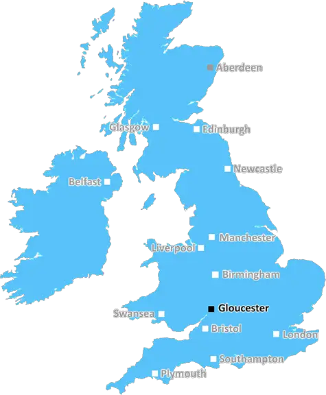
Gloucester (GL54)
The GL54 postcode area is located in the Gloucester postcode town region, within the county of Gloucestershire, and contains a total of 1227 individual postcodes.
There are 124 electoral wards in the GL54 postcode area, including Badminton, Berkeley, Blakeney, Cheltenham, Chipping Campden, Cinderford, Cirencester, Coleford, Drybrook, Dursley, Dymock, Fairford, Gloucester, Lechlade, Longhope, Lydbrook, Lydney, Mitcheldean, Moreton-In-Marsh, Newent, Newnham, Ruardean, Stonehouse, Stroud, Tetbury, Tewkesbury, Westbury-On-Severn, Wotton-Under-Edge which come under the local authority of the Cotswold Council.
Combining the whole postcode region, 33% of people in GL54 are classed as having an AB social grade, (i.e. 'white-collar' middle-upper class), compared to 27% across the UK.
This does not mean that the people of GL54 are wealthier - or higher class - than average, but it can be an indication that the area may be prospering and desirable to live in.
The GL54 postcode covers an area located to the east of Gloucester city, straddling the Gloucestershire/Oxon border. This postcode area is mainly in the district of Tewkesbury in Gloucestershire but also includes parts of the district of West Oxfordshire.
Deerhurst, a village lying on the eastern side of the River Severn, and the neighbouring hamlet of Wood Eaton are in this postcode area. Two main roads, the A40 and the A435, cut through this postcode district. The A40 bypasses Deerhurst to its south, while the A435 runs through parts of it. The M5 motorway near Gloucester provides an alternative route for those travelling to and from the area.
The GL54 postcode area is primarily rural, and is home to several villages and hamlets such as Woodmancote, Northway, Nether Swell, Dowdeswell, Alderton, Rissington and Fosswell. It also covers some parts of Salperton, Stowell and Mickleton.
The area is known for its scenic views of the Cotswolds and rolling hills of Gloucestershire. Popular tourist attractions include the Regal Cinema in Woodmancote and theatre productions in the village. Local sports teams include cricket clubs and hockey clubs.
The main form of public transport in this postcode area is by bus, with several bus routes offering links to nearby towns and villages, as well as connections to Gloucester city centre. Commuters from the GL54 postcode can benefit from quick and easy access to major train stations such as Oxford and Cheltenham Spa.
The main shopping area in the GL54 postcode area is located in Woodmancote, where there are convenience stores and a post office. Other local amenities include pubs, cafes and restaurants.
In terms of education, the area is served by a number of primary schools, including Dowdeswell Endowed Primary School, Northway Primary School and Stowell Primary School. Long Field Academy provides secondary-level education.

Demographics
Gloucestershire

GL54 is located in the county of Gloucestershire, in England.
Gloucestershire has a total population of 900,800, making it the 23rd largest county in the UK.
Gloucestershire has a total area of 1216 square miles, and a population density of 285 people per square kilometre. For comparison, Greater London has a density of 5,618 people/km2.
| Outward Code | GL54 |
| Postal Town | Gloucester |
| MSOA Name | Cotswold 002 |
| LSOA Name | Cotswold 002A |
| County | Gloucestershire |
| Region | Gloucestershire |
| Country | England |
| Local Authority | Cotswold |
| Area Classification | Mainly Rural (rural including hub towns >=80%) |
GL54 Electoral Wards
The postal region of GL54, includes the local towns, villages, electoral wards and stations of:
Dig even deeper into the GL54 postcode by clicking on a postcode below:
Click on an outward postal code below for more information about the area. Each 'outward' postcode give you a comprehensive list of all postcodes within the outward code area (GL) and estimated address.
Click on an 'outward' code for more information. For example, the outward postcode page 'EC2M' will give you an alphabetical list covering all postcodes located in the region, from 'EC2M 1BB' through to 'EC2M 7YA'.
Chris H
Sunday, April 7, 2024
We don't have any views of GL54 right now. If you live in GL54 or have visited it, please help us to help others by telling others what you think of this neighbourhood.
Add your view of GL54
People need your local expertise. If you live in GL54 or have first-hand knowledge of the neighbourhood, please consider sharing your views. It's completely anonymous - all we ask is for your initials.
Please tell us what you like about the GL54 postcode area, what you don't like, and what it's like to live or work here.
| LOCAL AMENITIES | |
| FAMILY FRIENDLY | |
| PARKING | |
| GREEN SPACES |
Local News Gloucestershire
Paralympics GB on hunt for aspiring athletes
Coaches and athletes are hosting a taster day in Bath, inviting the public to try Paralympic sports.
BBC NewsCheltenham fans group increase shares in club
A Cheltenham Town fans group says they want to build "solid supporter ownership" after increasing their shares in the club.
BBC NewsRise in abuse towards councillors 'has to stop'
A Gloucester councillor said he had received death threats over leisure centre closures.
BBC NewsQuarry to increase exports despite dust concerns
Residents say they "cannot open their windows nor sit in their gardens" due to the dust levels.
BBC NewsDay one of County Championship season hit by rain
Day one of the County Championship season sees play abandoned at Derbyshire, Durham, Lancashire and Kent without a ball bowled.
BBC NewsLeyton Orient 3-1 Cheltenham Town
Leyton Orient find their shooting boots to inflict a League One defeat on relegation-haunted Cheltenham.
BBC NewsPolice investigate woman 'forcibly taken' from bar
Three people are arrested and a woman is found safe after reports she was forced into a car.
BBC NewsNew homes and pub refurbishment set to be refused
The proposals have been called "an unnecessary expansion" of the village near Gloucester.
BBC NewsFrom the Postcode Area blog

Deciphering Crime Rates - a Deep Dive Into UK Postcode Analysis
Ever wondered about the crime rate in your UK postcode? You're not alone. We've dug deep into the data, uncovering trends and patterns that'll make your head spin.

Death of the High Street?
The BBC reports that despite councils' attempts to kurb them, the UK's high streets have seen a huge growth in fast food outlets. Could this mark the death knell for the Great British high street, and what can we do about it to halt its decline?

Discrimination by Postcode
You really couldn't make it up, could you? Some of the country's most vulnerable people are missing out on their weekly £25 Cold Weather Payment, just because the system that's in operation is discriminating against them because payments are based on postcode, rather than geographic location.

The Redesign is Underway
Well, the current website was absolutely in dire need of a good redesign - from the ground up. So I set out to pull it all apart and get it up and running again to become the most comprehensive guide to every postcode in the UK. And it's been a long, tough job from start to finish - and quite possibly the biggest project I've ever undertaken.
SOCIAL GRADES
According to census records, 33% of people here have a social grade of AB (highest), compared to the national average of 27%.