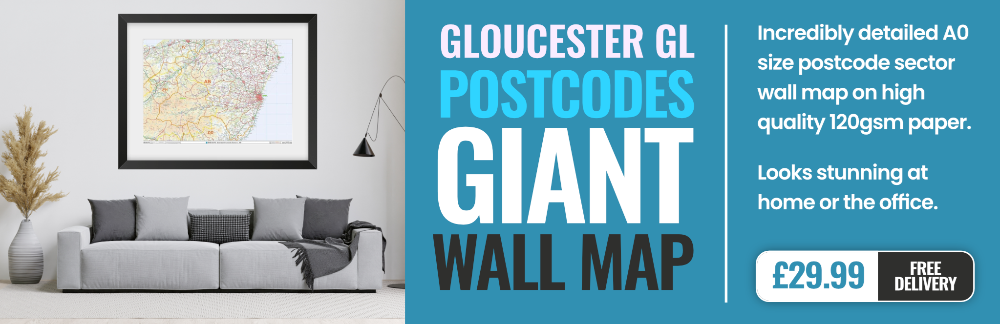
gloucester GL16 Postcodes
Spending a fortune on conveyancing?

Compare instant, low-cost online quotes from trusted conveyancing solicitors.
Backed by experts, our no-obligation service searches through the best conveyancing quotes on the market to save you time and money.
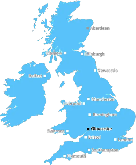
Gloucester (GL16)
The GL16 postcode area is located in the Gloucester postcode town region, within the county of Gloucestershire, and contains a total of 549 individual postcodes.
There are 48 electoral wards in the GL16 postcode area, including Badminton, Berkeley, Blakeney, Cheltenham, Chipping Campden, Cinderford, Cirencester, Coleford, Drybrook, Dursley, Dymock, Fairford, Gloucester, Lechlade, Longhope, Lydbrook, Lydney, Mitcheldean, Moreton-In-Marsh, Newent, Newnham, Ruardean, Stonehouse, Stroud, Tetbury, Tewkesbury, Westbury-On-Severn, Wotton-Under-Edge which come under the local authority of the Forest of Dean Council.
Combining the whole postcode region, 18% of people in GL16 are classed as having an AB social grade, (i.e. 'white-collar' middle-upper class), compared to 27% across the UK.
This does not mean that the people of GL16 are poorer than other areas, but it may give an indication that there are areas of deprivation.
The GL16 postcode is a geographical area in the Gloucester district. It covers the four towns of Drybrook, Coleford, Newent, and Redmarley D'Abitot in the Forest of Dean area. It is part of the Forest of Dean non-metropolitan district.
The population of GL16 was estimated at 18,194 in June 2018, with over 10,000 people living in Drybrook alone. Drybrook is the largest market town of the four. The homes in GL16 include detached, semi-detached and terraced housing, with a mix of new and older properties.
The area offers plenty in the way of outdoor activities, with scenic views, walks and trails, historical sites, and numerous outdoor recreation spaces. Coleford is home to the Forest of Dean Sculpture Trail, one of the country's most famous trails. Visitors can take in the scenery and discover sculptures, carvings and other art works scattered along the route.
The economy of GL16 is largely driven by public sector work. Local employers include the NHS, GCHQ, HMRC and DEFRA. There is a higher concentration of self-employment than the national average. Locally, there are also a number of larger private companies.
The GL16 postcode is served by a variety of shops and services, including banks, post offices, supermarkets, pubs and restaurants. Drybrook has the most, but Coleford, Newent and Redmarley D'Abitot all have some too.
Education provision in the GL16 postcode is quite strong, with a number of primary and secondary schools. Local secondary schools are Parkend Church of England School, John Kyrle High School and Drybrook Primary School. Local colleges include Gloucestershire College and Hartpury College or University Centre.
Public transport in GL16 is mainly provided by Stagecoach West. The area is served by a number of bus routes, offering convenient connections to Gloucester, Hereford, and other nearby towns and villages. There are two train stations nearby in Lydney and Coleford, connecting with other towns in the region.

Demographics
Gloucestershire

GL16 is located in the county of Gloucestershire, in England.
Gloucestershire has a total population of 900,800, making it the 23rd largest county in the UK.
Gloucestershire has a total area of 1216 square miles, and a population density of 285 people per square kilometre. For comparison, Greater London has a density of 5,618 people/km2.
| Outward Code | GL16 |
| Postal Town | Gloucester |
| MSOA Name | Forest of Dean 007 |
| LSOA Name | Forest of Dean 007A |
| County | Gloucestershire |
| Region | Gloucestershire |
| Country | England |
| Local Authority | Forest of Dean |
| Area Classification | Mainly Rural (rural including hub towns >=80%) |
GL16 Electoral Wards
The postal region of GL16, includes the local towns, villages, electoral wards and stations of:
Dig even deeper into the GL16 postcode by clicking on a postcode below:
Click on an outward postal code below for more information about the area. Each 'outward' postcode give you a comprehensive list of all postcodes within the outward code area (GL) and estimated address.
Click on an 'outward' code for more information. For example, the outward postcode page 'EC2M' will give you an alphabetical list covering all postcodes located in the region, from 'EC2M 1BB' through to 'EC2M 7YA'.
Chris H
Tuesday, April 9, 2024
We don't have any views of GL16 right now. If you live in GL16 or have visited it, please help us to help others by telling others what you think of this neighbourhood.
Add your view of GL16
People need your local expertise. If you live in GL16 or have first-hand knowledge of the neighbourhood, please consider sharing your views. It's completely anonymous - all we ask is for your initials.
Please tell us what you like about the GL16 postcode area, what you don't like, and what it's like to live or work here.
| LOCAL AMENITIES | |
| FAMILY FRIENDLY | |
| PARKING | |
| GREEN SPACES |
Local News Gloucestershire
New homes and pub refurbishment set to be refused
The proposals have been called "an unnecessary expansion" of the village near Gloucester.
BBC NewsForest Green Rovers 0-2 Milton Keynes Dons
MK Dons' automatic promotion hopes are handed a boost as goals in each half from Max Dean and Alex Gilbey sealed a 2-0 League Two win at bottom club Forest Green.
BBC NewsRoad closed after elderly woman hit by car
A woman is being treated for serious injuries after being struck by a car in Lechlade.
BBC NewsGloucester beat Castres to reach quarter-finals
Gloucester hold off a Castres comeback to reach the quarter-finals of the European Challenge Cup.
BBC NewsCheltenham fans group increase shares in club
A Cheltenham Town fans group says they want to build "solid supporter ownership" after increasing their shares in the club.
BBC NewsEverything you need to know about the Gloucestershire PCC election
Residents will vote on the person who oversees Gloucestershire Police in an election on 2 May.
BBC NewsPlans for 47 new homes to be discussed
Forest of Dean District Council will consider plans to develop land in Milkwall, near Coleford.
BBC NewsFleetwood Town 1-2 Cheltenham Town
Aidan Keena's first goal of the season earns Cheltenham a 2-1 win at relegation rivals Fleetwood.
BBC NewsFrom the Postcode Area blog

Deciphering Crime Rates - a Deep Dive Into UK Postcode Analysis
Ever wondered about the crime rate in your UK postcode? You're not alone. We've dug deep into the data, uncovering trends and patterns that'll make your head spin.

Death of the High Street?
The BBC reports that despite councils' attempts to kurb them, the UK's high streets have seen a huge growth in fast food outlets. Could this mark the death knell for the Great British high street, and what can we do about it to halt its decline?

Discrimination by Postcode
You really couldn't make it up, could you? Some of the country's most vulnerable people are missing out on their weekly £25 Cold Weather Payment, just because the system that's in operation is discriminating against them because payments are based on postcode, rather than geographic location.

The Redesign is Underway
Well, the current website was absolutely in dire need of a good redesign - from the ground up. So I set out to pull it all apart and get it up and running again to become the most comprehensive guide to every postcode in the UK. And it's been a long, tough job from start to finish - and quite possibly the biggest project I've ever undertaken.
SOCIAL GRADES
According to census records, 18% of people here have a social grade of AB (highest), compared to the national average of 27%.