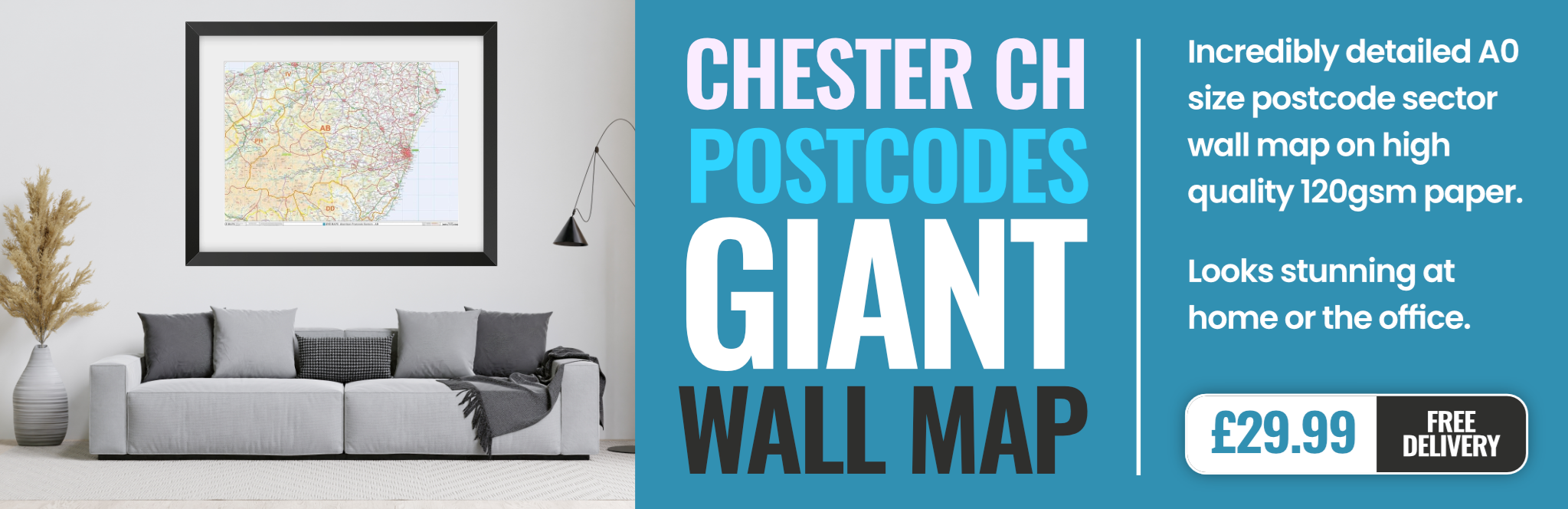
chester CH49 Postcodes
Spending a fortune on conveyancing?

Compare instant, low-cost online quotes from trusted conveyancing solicitors.
Backed by experts, our no-obligation service searches through the best conveyancing quotes on the market to save you time and money.
Chester (CH49)
The CH49 postcode area is located in the Chester postcode town region, within the county of Merseyside, and contains a total of 763 individual postcodes.
There are 7 electoral wards in the CH49 postcode area, including Bagillt, Birkenhead, Buckley, Chester, Deeside, Ellesmere Port, Flint, Holywell, Mold, Neston, Prenton, Wallasey, Wirral which come under the local authority of the Wirral Council.
Combining the whole postcode region, 20% of people in CH49 are classed as having an AB social grade, (i.e. 'white-collar' middle-upper class), compared to 27% across the UK.
This does not mean that the people of CH49 are poorer than other areas, but it may give an indication that there are areas of deprivation.
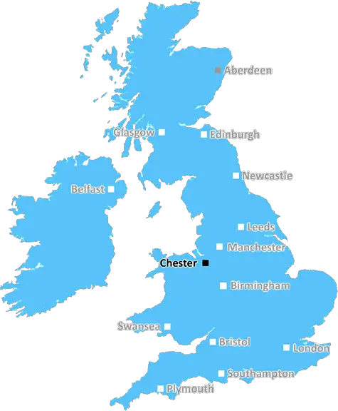
The CH49 postcode is located in the Wirral peninsula, in the north west of England. It covers a large area, stretching from the Welsh border in the north, past Bebington in the west, to Storeton in the south.
The CH49 postcode is predominantly residential, with a few commercial developments in the area. The vast majority of its population live in rural areas, including the villages of Thornton Hough, Willaston, Heswall, and Neston.
The area is home to some notable landmarks, including Neston Recreation Centre, which is home to a wide range of sport and leisure facilities; the Neston Cricket Club; and Thornton Hough church. The area also boasts some attractive countryside areas, including Wirral Country Park andBebington Goldmine.
The majority of the residents in the CH49 postcode work in retail, hospitality, manufacturing, education and healthcare. The area is fairly well served by public transport, with train stations located in Heswall and Willaston, as well as regular bus services to both Birkenhead and Liverpool.
The CH49 postcode is well connected to the wider county and region, with close proximity to the M53 motorway and the M56. Additionally, the area's proximity to both the River Dee and the Dee Estuary make it an ideal base for outdoor pursuits such as sailing, fishing, and other water sports.
Despite its rural environment, the CH49 postcode is connected to the wider digital world via broadband and superfast fibre broadband. Additionally, the area boasts a range of local shopping facilities, an array of pubs, restaurants and cafes, and plenty of opportunities for leisure activities in the surrounding area.

Demographics
Merseyside

CH49 is located in the county of Merseyside, in England.
Merseyside has a total population of 1,406,400, making it the 9th largest county in the UK.
Merseyside has a total area of 250 square miles, and a population density of 2174 people per square kilometre. For comparison, Greater London has a density of 5,618 people/km2.
| Outward Code | CH49 |
| Postal Town | Chester |
| MSOA Name | Wirral 018 |
| LSOA Name | Wirral 018D |
| County | Merseyside |
| Region | Merseyside |
| Country | England |
| Local Authority | Wirral |
| Area Classification | Urban with Major Conurbation |
CH49 Electoral Wards
The postal region of CH49, includes the local towns, villages, electoral wards and stations of:
Dig even deeper into the CH49 postcode by clicking on a postcode below:
Click on an outward postal code below for more information about the area. Each 'outward' postcode give you a comprehensive list of all postcodes within the outward code area (CH) and estimated address.
Click on an 'outward' code for more information. For example, the outward postcode page 'EC2M' will give you an alphabetical list covering all postcodes located in the region, from 'EC2M 1BB' through to 'EC2M 7YA'.
Chris H
Friday, April 12, 2024
We don't have any views of CH49 right now. If you live in CH49 or have visited it, please help us to help others by telling others what you think of this neighbourhood.
Add your view of CH49
People need your local expertise. If you live in CH49 or have first-hand knowledge of the neighbourhood, please consider sharing your views. It's completely anonymous - all we ask is for your initials.
Please tell us what you like about the CH49 postcode area, what you don't like, and what it's like to live or work here.
| LOCAL AMENITIES | |
| FAMILY FRIENDLY | |
| PARKING | |
| GREEN SPACES |
Local News Merseyside
More areas trial new child protection project
The 45m scheme aims to give struggling families more early support.
BBC NewsMan jailed for raping woman he met at bus stop
The victim was held against her will and threatened with a knife before she was raped in a flat.
BBC NewsEverton issue 'makes mockery of Premier League'
The manner in which financial-rule breaches are dealt with "makes a mockery of the Premier League", says Luton midfielder Andros Townsend.
BBC News'Time for fault and blame is gone' - Dyche
Everton boss Sean Dyche says he side will "pull together" following a second points deduction, as potential new owners hit another hurdle in their takeover plans.
BBC NewsRail firm to continue classical music at stations
Northern says it has led to a drop in loitering reports and customers "feel safer".
BBC NewsWhen are the May local elections, and who can vote?
Voters in parts of England and Wales will elect councillors, mayors and police commissioners in May.
BBC NewsLocal elections 2024: Who can I vote for?
Use our lookup to see if there is an election in your area and who you can vote for on 2 May
BBC NewsCoastal parking ban will hit walkers - residents
New rules due to come into force next week ban overnight parking on a Wirral waterfront.
BBC NewsFrom the Postcode Area blog

Deciphering Crime Rates - a Deep Dive Into UK Postcode Analysis
Ever wondered about the crime rate in your UK postcode? You're not alone. We've dug deep into the data, uncovering trends and patterns that'll make your head spin.

Death of the High Street?
The BBC reports that despite councils' attempts to kurb them, the UK's high streets have seen a huge growth in fast food outlets. Could this mark the death knell for the Great British high street, and what can we do about it to halt its decline?

Discrimination by Postcode
You really couldn't make it up, could you? Some of the country's most vulnerable people are missing out on their weekly £25 Cold Weather Payment, just because the system that's in operation is discriminating against them because payments are based on postcode, rather than geographic location.

The Redesign is Underway
Well, the current website was absolutely in dire need of a good redesign - from the ground up. So I set out to pull it all apart and get it up and running again to become the most comprehensive guide to every postcode in the UK. And it's been a long, tough job from start to finish - and quite possibly the biggest project I've ever undertaken.
SOCIAL GRADES
According to census records, 20% of people here have a social grade of AB (highest), compared to the national average of 27%.