aberdeen AB52 Postcodes
Spending a fortune on conveyancing?

Compare instant, low-cost online quotes from trusted conveyancing solicitors.
Backed by experts, our no-obligation service searches through the best conveyancing quotes on the market to save you time and money.
Aberdeen (AB52)
The AB52 postcode area is located in the Aberdeen postcode town region, within the county of Aberdeenshire, and contains a total of 260 individual postcodes.
There are 25 electoral wards in the AB52 postcode area, including Aberdeen, Aberlour, Aboyne, Alford, Ballater, Ballindalloch, Banchory, Banff, Buckie, Ellon, Fraserburgh, Huntly, Insch, Inverurie, Keith, Laurencekirk, Macduff, Milltimber, Peterculter, Peterhead, Stonehaven, Strathdon, Turriff, Westhill which come under the local authority of the Aberdeenshire Council.
Combining the whole postcode region, 0% of people in AB52 are classed as having an AB social grade, (i.e. 'white-collar' middle-upper class), compared to 27% across the UK.
This does not mean that the people of AB52 are poorer than other areas, but it may give an indication that there are areas of deprivation.
The AB52 postcode area covers a large portion of the west of the Aberdeen district in Scotland. It encompasses parts of the towns and villages of Westhill, Craigiebuckler, Belhelvie, Muchalls, Findon, Stoneywood, Kemnay, Ardlethan, Kirktown of Skene, and parts of Dyce and Johnstonehill.
AB52 is mainly residential in character, with some commercial and industrial areas in Westhill and Craigiebuckler. Westhill is a planned, modern town, primarily residential but with some business units and services. Craigiebuckler is primarily residential with some light industrial units. Belhelvie is a semi-rural area with some dwellings, a church, a primary school and a golf course. Muchalls is an area of mature housing, originally built for the oil industry workforce, and mainly populated by affluent families. Findon is a traditional small village with a golf course, primary school and a few local businesses.
Those living in AB52 benefit from reasonable access to amenities and services with a selection of shops, bars, restaurants, and leisure facilities in Westhill. The area is served by a number of regular bus routes, and those living here have easy access to the major road routes. The area is situated within close proximity to the coast, providing lovely walks and a great place to visit.
CAWA Primary School, Aberdeen's Gaelic Medium Primary School, is also situated within the AB52 postcode area. This school provides a unique bilingual experience for pupils, combining Gaelic and English language teaching.
AB52 offers a great mix of suburban and rural living, with the convenience of easy access to amenities and services, and proximity to the coast.

Demographics
Aberdeenshire

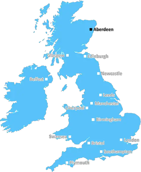
AB52 is located in the county of Aberdeenshire, in Scotland.
Aberdeenshire has a total population of 0, making it the largest county in the UK.
Aberdeenshire has a total area of square miles, and a population density of people per square kilometre. For comparison, Greater London has a density of 5,618 people/km2.
| Outward Code | AB52 |
| Postal Town | Aberdeen |
| MSOA Name | Insch, Oyne and Ythanwells |
| LSOA Name | |
| County | Aberdeenshire |
| Region | Aberdeenshire |
| Country | Scotland |
| Local Authority | Aberdeenshire |
| Area Classification | Unclassified |
AB52 Electoral Wards
The postal region of AB52, includes the local towns, villages, electoral wards and stations of:
Dig even deeper into the AB52 postcode by clicking on a postcode below:
Click on an outward postal code below for more information about the area. Each 'outward' postcode give you a comprehensive list of all postcodes within the outward code area (AB) and estimated address.
Click on an 'outward' code for more information. For example, the outward postcode page 'EC2M' will give you an alphabetical list covering all postcodes located in the region, from 'EC2M 1BB' through to 'EC2M 7YA'.
Chris H
Monday, April 8, 2024
We don't have any views of AB52 right now. If you live in AB52 or have visited it, please help us to help others by telling others what you think of this neighbourhood.
Add your view of AB52
People need your local expertise. If you live in AB52 or have first-hand knowledge of the neighbourhood, please consider sharing your views. It's completely anonymous - all we ask is for your initials.
Please tell us what you like about the AB52 postcode area, what you don't like, and what it's like to live or work here.
| LOCAL AMENITIES | |
| FAMILY FRIENDLY | |
| PARKING | |
| GREEN SPACES |
From the Postcode Area blog

Deciphering Crime Rates - a Deep Dive Into UK Postcode Analysis
Ever wondered about the crime rate in your UK postcode? You're not alone. We've dug deep into the data, uncovering trends and patterns that'll make your head spin.

Death of the High Street?
The BBC reports that despite councils' attempts to kurb them, the UK's high streets have seen a huge growth in fast food outlets. Could this mark the death knell for the Great British high street, and what can we do about it to halt its decline?

Discrimination by Postcode
You really couldn't make it up, could you? Some of the country's most vulnerable people are missing out on their weekly £25 Cold Weather Payment, just because the system that's in operation is discriminating against them because payments are based on postcode, rather than geographic location.

The Redesign is Underway
Well, the current website was absolutely in dire need of a good redesign - from the ground up. So I set out to pull it all apart and get it up and running again to become the most comprehensive guide to every postcode in the UK. And it's been a long, tough job from start to finish - and quite possibly the biggest project I've ever undertaken.
SOCIAL GRADES
According to census records, 0% of people here have a social grade of AB (highest), compared to the national average of 27%.