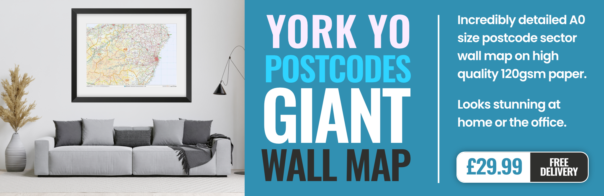
york YO25 Postcodes
Spending a fortune on conveyancing?

Compare instant, low-cost online quotes from trusted conveyancing solicitors.
Backed by experts, our no-obligation service searches through the best conveyancing quotes on the market to save you time and money.
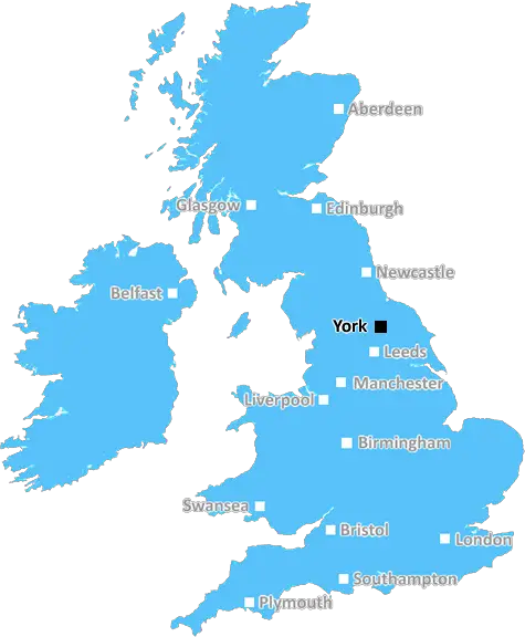
York (YO25)
The YO25 postcode area is located in the York postcode town region, within the county of Yorkshire, and contains a total of 2115 individual postcodes.
There are 137 electoral wards in the YO25 postcode area, including Bridlington, Driffield, Filey, Malton, Pickering, Scarborough, Selby, Thirsk, Whitby, York which come under the local authority of the East Riding of Yorkshire Council.
Combining the whole postcode region, 21% of people in YO25 are classed as having an AB social grade, (i.e. 'white-collar' middle-upper class), compared to 27% across the UK.
This does not mean that the people of YO25 are poorer than other areas, but it may give an indication that there are areas of deprivation.
The YO25 postcode is located in the York district in the United Kingdom. It is closest to the towns of Driffield, Pocklington, and Market Weighton. According to the 2011 census, the population of YO25 was an estimated 15,739 people. The postcode covers an area of almost 19 square miles (49 kilometres) and includes the villages of Fraisthorpe, Kilham, Seaton Ross, Londesborough, Seaton, Millington, Staxton, and Fordon.
YO25 is served by its main A roads, the A166 and A614, which link the postcode to neighbouring regions such as Beverly and Hull. There is also a railway station at Market Weighton, which offers regular services to Bridlington, York, and Sheffield.
The local economy of YO25 is primarily focused on agriculture and tourism, as the area provides excellent opportunities for the latter. The Yorkshire Wolds are found in the postcode, boasting stunning countryside and traditional villages. Despite being located close to major urban centres such as Hull and York, YO25 remains largely rural with diverse habitats and species including an abundance of protected wildlife.
In terms of other amenities, YO25 has a range of supermarkets and the Market Weighton Country Market offers fresh produce and handcrafted items on a monthly basis. Furthermore, the town has a number of primary schools, a Sixth Form college, as well as a recreational centre at Market Weighton. The Driffield branch of the WEA provides adult education in the area. In terms of health services, the closest NHS hospital is situated in Beverley.
The area also boasts a number of heritage sites, including the Pocklington Canal which was built in the 18th century and several sites of interest within the Yorkshire Wolds, such as the Prehistoric Site of Millington Lock and the National Nature Reserve at Seaton Ross.
In short, the YO25 postcode provides an idyllic rural landscape and close links to neighbouring towns and cities, with a high quality of life and plenty of amenities and attractions to match.

Demographics
Yorkshire

YO25 is located in the county of Yorkshire, in England.
Yorkshire has a total population of 0, making it the largest county in the UK.
Yorkshire has a total area of square miles, and a population density of people per square kilometre. For comparison, Greater London has a density of 5,618 people/km2.
| Outward Code | YO25 |
| Postal Town | York |
| MSOA Name | East Riding of Yorkshire 044 |
| LSOA Name | East Riding of Yorkshire 044D |
| County | Yorkshire |
| Region | Yorkshire |
| Country | England |
| Local Authority | East Riding of Yorkshire |
| Area Classification | Largely Rural (rural including hub towns 50-79%) |
YO25 Electoral Wards
The postal region of YO25, includes the local towns, villages, electoral wards and stations of:
Dig even deeper into the YO25 postcode by clicking on a postcode below:
Click on an outward postal code below for more information about the area. Each 'outward' postcode give you a comprehensive list of all postcodes within the outward code area (YO) and estimated address.
Click on an 'outward' code for more information. For example, the outward postcode page 'EC2M' will give you an alphabetical list covering all postcodes located in the region, from 'EC2M 1BB' through to 'EC2M 7YA'.
Chris H
Sunday, April 7, 2024
We don't have any views of YO25 right now. If you live in YO25 or have visited it, please help us to help others by telling others what you think of this neighbourhood.
Add your view of YO25
People need your local expertise. If you live in YO25 or have first-hand knowledge of the neighbourhood, please consider sharing your views. It's completely anonymous - all we ask is for your initials.
Please tell us what you like about the YO25 postcode area, what you don't like, and what it's like to live or work here.
| LOCAL AMENITIES | |
| FAMILY FRIENDLY | |
| PARKING | |
| GREEN SPACES |
From the Postcode Area blog

Deciphering Crime Rates - a Deep Dive Into UK Postcode Analysis
Ever wondered about the crime rate in your UK postcode? You're not alone. We've dug deep into the data, uncovering trends and patterns that'll make your head spin.

Death of the High Street?
The BBC reports that despite councils' attempts to kurb them, the UK's high streets have seen a huge growth in fast food outlets. Could this mark the death knell for the Great British high street, and what can we do about it to halt its decline?

Discrimination by Postcode
You really couldn't make it up, could you? Some of the country's most vulnerable people are missing out on their weekly £25 Cold Weather Payment, just because the system that's in operation is discriminating against them because payments are based on postcode, rather than geographic location.

The Redesign is Underway
Well, the current website was absolutely in dire need of a good redesign - from the ground up. So I set out to pull it all apart and get it up and running again to become the most comprehensive guide to every postcode in the UK. And it's been a long, tough job from start to finish - and quite possibly the biggest project I've ever undertaken.
SOCIAL GRADES
According to census records, 21% of people here have a social grade of AB (highest), compared to the national average of 27%.