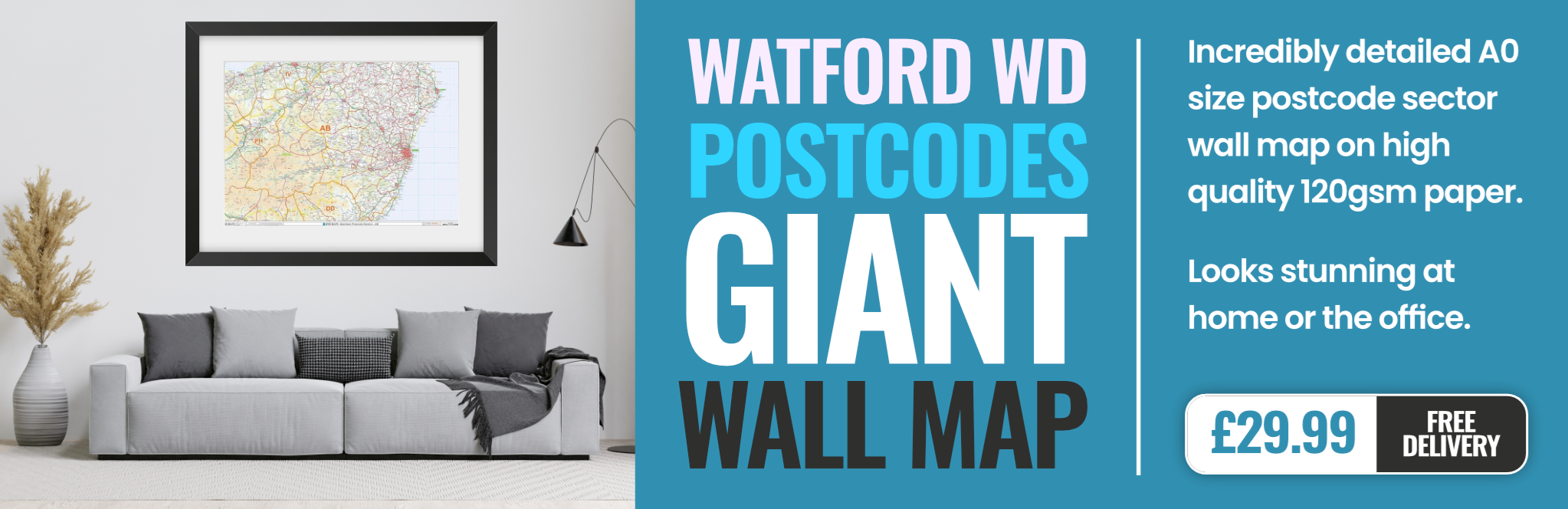
watford WD5 Postcodes
Spending a fortune on conveyancing?

Compare instant, low-cost online quotes from trusted conveyancing solicitors.
Backed by experts, our no-obligation service searches through the best conveyancing quotes on the market to save you time and money.
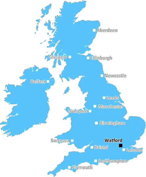
Watford (WD5)
The WD5 postcode area is located in the Watford postcode town region, within the county of Hertfordshire, and contains a total of 358 individual postcodes.
There are 3 electoral wards in the WD5 postcode area, including Abbots Langley, Borehamwood, Bushey, Kings Langley, Radlett, Rickmansworth, Watford which come under the local authority of the Three Rivers Council.
Combining the whole postcode region, 27% of people in WD5 are classed as having an AB social grade, (i.e. 'white-collar' middle-upper class), compared to 27% across the UK.
This does not mean that the people of WD5 are wealthier - or higher class - than average, but it can be an indication that the area may be prospering and desirable to live in.
The WD5 postcode area is located in the Watford district of Hertfordshire, England. It comprises most of the Abbots Langley, Bedmond, Chipperfield and Kings Langley civil parishes. The postcode area has a total population of approximately 35,000 and covers an area of 106 square kilometres.
The postcode area is served by several bus routes, including the W10, W19, W30, and W20. It is also served by two train stations: Kings Langley (on the London Midland Main Line) and Abbots Langley (on the Chiltern Main Line). Both stations offer frequent services to London Euston. The nearby M25 motorway offers easy access to London, the South East and the rest of the UK.
The area has a flourishing retail sector, made up of big-name chains, independent outlets and retail parks. There is also a thriving nightlife in the area, with several pubs, bars, and restaurants located in the high street. In addition, WD5 has a wealth of leisure and cultural activities, ranging from historic tours to themed events and concerts.
There are several popular sites and attractions in WD5, including the Langleybury Children's Farm, the Grand Union Canal, the celebrated Warner Bros. Studio Tour, and the wonderful Ashridge estate. The area also offers a diverse selection of schools from primaries and secondaries to colleges and universities, making it an ideal place for families.
WD5 has a wide range of housing options; you can find anything from characterful old cottages to modern apartments. The postcode area also borders many beautiful countryside areas, such as the Hertfordshire countryside and the South Oxfordshire hills, for those looking to make a holiday or weekend getaway from London.

Demographics
Hertfordshire

WD5 is located in the county of Hertfordshire, in England.
Hertfordshire has a total population of 1,176,700, making it the 12th largest county in the UK.
Hertfordshire has a total area of 634 square miles, and a population density of 716 people per square kilometre. For comparison, Greater London has a density of 5,618 people/km2.
| Outward Code | WD5 |
| Postal Town | Watford |
| MSOA Name | Three Rivers 001 |
| LSOA Name | Three Rivers 001C |
| County | Hertfordshire |
| Region | Hertfordshire |
| Country | England |
| Local Authority | Three Rivers |
| Area Classification | Urban with Major Conurbation |
WD5 Electoral Wards
The postal region of WD5, includes the local towns, villages, electoral wards and stations of:
Dig even deeper into the WD5 postcode by clicking on a postcode below:
Click on an outward postal code below for more information about the area. Each 'outward' postcode give you a comprehensive list of all postcodes within the outward code area (WD) and estimated address.
Click on an 'outward' code for more information. For example, the outward postcode page 'EC2M' will give you an alphabetical list covering all postcodes located in the region, from 'EC2M 1BB' through to 'EC2M 7YA'.
Chris H
Monday, April 8, 2024
We don't have any views of WD5 right now. If you live in WD5 or have visited it, please help us to help others by telling others what you think of this neighbourhood.
Add your view of WD5
People need your local expertise. If you live in WD5 or have first-hand knowledge of the neighbourhood, please consider sharing your views. It's completely anonymous - all we ask is for your initials.
Please tell us what you like about the WD5 postcode area, what you don't like, and what it's like to live or work here.
| LOCAL AMENITIES | |
| FAMILY FRIENDLY | |
| PARKING | |
| GREEN SPACES |
Local News Hertfordshire
Watford and Preston play out goalless draw
Watford and Preston play out a relatively drab goalless draw in the Championship.
BBC NewsA huge victory' - Morris' 90th-minute goal lifts Luton
Carlton Morris' late winner boosts Luton's Premier League survival hopes as they come from behind to beat Bournemouth.
BBC NewsResidents emotional as Bedford postie retires
Graham McFiggins is said to have done more for the community than delivering letters.
BBC NewsSerious crash closes part of dual carriageway
The road is closed in both directions between two roundabouts in Bedfordshire.
BBC NewsJust forgotten': The adults who can't read
Sue Warden is Coordinator at Readeasy in Milton Keynes which helps adults with literacy.
BBC NewsHotel refugees 'gone by end of June', says MP
MP Andrew Selous says the Home Office has terminated its contract with the hotel.
BBC NewsAm-dram group thankful for support after burglary
The group says equipment worth about 5,000 was taken from its village hall base.
BBC NewsRunning 5k every day while fasting during Ramadan
Bilal Hussain took on the challenge to raise money for Luton Food Bank.
BBC NewsFrom the Postcode Area blog

Deciphering Crime Rates - a Deep Dive Into UK Postcode Analysis
Ever wondered about the crime rate in your UK postcode? You're not alone. We've dug deep into the data, uncovering trends and patterns that'll make your head spin.

Death of the High Street?
The BBC reports that despite councils' attempts to kurb them, the UK's high streets have seen a huge growth in fast food outlets. Could this mark the death knell for the Great British high street, and what can we do about it to halt its decline?

Discrimination by Postcode
You really couldn't make it up, could you? Some of the country's most vulnerable people are missing out on their weekly £25 Cold Weather Payment, just because the system that's in operation is discriminating against them because payments are based on postcode, rather than geographic location.

The Redesign is Underway
Well, the current website was absolutely in dire need of a good redesign - from the ground up. So I set out to pull it all apart and get it up and running again to become the most comprehensive guide to every postcode in the UK. And it's been a long, tough job from start to finish - and quite possibly the biggest project I've ever undertaken.
SOCIAL GRADES
According to census records, 27% of people here have a social grade of AB (highest), compared to the national average of 27%.