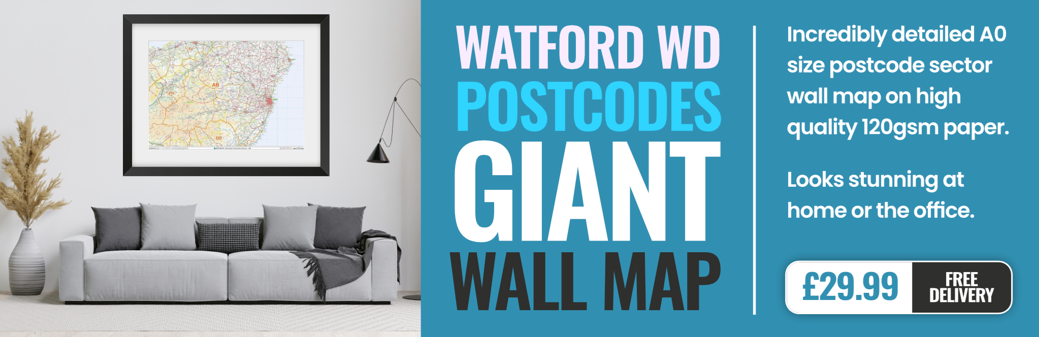
watford WD25 Postcodes
Spending a fortune on conveyancing?

Compare instant, low-cost online quotes from trusted conveyancing solicitors.
Backed by experts, our no-obligation service searches through the best conveyancing quotes on the market to save you time and money.
Watford (WD25)
The WD25 postcode area is located in the Watford postcode town region, within the county of Hertfordshire, and contains a total of 807 individual postcodes.
There are 21 electoral wards in the WD25 postcode area, including Abbots Langley, Borehamwood, Bushey, Kings Langley, Radlett, Rickmansworth, Watford which come under the local authority of the Watford Council.
Combining the whole postcode region, 24% of people in WD25 are classed as having an AB social grade, (i.e. 'white-collar' middle-upper class), compared to 27% across the UK.
This does not mean that the people of WD25 are poorer than other areas, but it may give an indication that there are areas of deprivation.
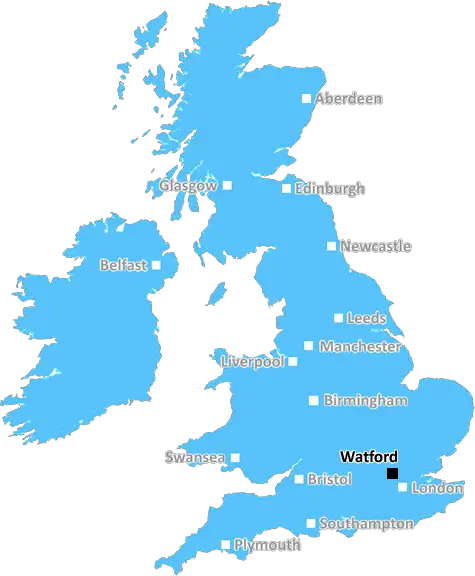
The WD25 postcode is located in the Watford district of Hertfordshire, England and covers approximately 12.40 square miles. It includes some areas of the rural parish of Abbots Langley and Kings Langley, as well as more urban areas of Watford.
The WD25 postcode is central to the commuter belt of London, situated 15.4 miles north west of the city centre. This makes it an attractive place to live for those working in the capital. It is easily accessible by road and public transport, with continual bus services from Watford Junction to London Euston and Kings Cross stations. The postcode is also near several of the M25 motorway's junctions, further improving commuting times.
WD25 has a diverse range of housing, from high-end apartments located near Watford city centre to large detached Victorian houses in Abbots Langley. It also has its own retail spaces and restaurants in Watford, with the Intu shopping centre and town hall nearby.
The postcode is serviced by excellent educational facilities, including two universities: Watford College and the University of Hertfordshire. It also contains numerous primary and secondary schools, including Watford Grammar School and Watford Grammar School for Girls.
The local area offers plenty of opportunities for leisure activities too, with multiple golf courses, country parks, and lakes nearby, as well as several sports clubs and theatres. Cassiobury Park is located at the heart of Watford and is a favourite destination for many.
WD25 also houses a Catholic cathedral and synagogue, reflecting its large multicultural population. Watford has featured on the Islamic World Heritage site list due to the presence of the Jagannath Temple, an Indian temple located in the centre of the city.
TheWD25 postcode offers an attractive blend of rural and urban areas, with an efficient transport network, excellent educational opportunities, strong retail and leisure provision, and a diverse range of cultures.

Demographics
Hertfordshire

WD25 is located in the county of Hertfordshire, in England.
Hertfordshire has a total population of 1,176,700, making it the 12th largest county in the UK.
Hertfordshire has a total area of 634 square miles, and a population density of 716 people per square kilometre. For comparison, Greater London has a density of 5,618 people/km2.
| Outward Code | WD25 |
| Postal Town | Watford |
| MSOA Name | Watford 002 |
| LSOA Name | Watford 002C |
| County | Hertfordshire |
| Region | Hertfordshire |
| Country | England |
| Local Authority | Watford |
| Area Classification | Urban with Major Conurbation |
WD25 Electoral Wards
The postal region of WD25, includes the local towns, villages, electoral wards and stations of:
Dig even deeper into the WD25 postcode by clicking on a postcode below:
Click on an outward postal code below for more information about the area. Each 'outward' postcode give you a comprehensive list of all postcodes within the outward code area (WD) and estimated address.
Click on an 'outward' code for more information. For example, the outward postcode page 'EC2M' will give you an alphabetical list covering all postcodes located in the region, from 'EC2M 1BB' through to 'EC2M 7YA'.
Chris H
Tuesday, May 7, 2024
We don't have any views of WD25 right now. If you live in WD25 or have visited it, please help us to help others by telling others what you think of this neighbourhood.
Add your view of WD25
People need your local expertise. If you live in WD25 or have first-hand knowledge of the neighbourhood, please consider sharing your views. It's completely anonymous - all we ask is for your initials.
Please tell us what you like about the WD25 postcode area, what you don't like, and what it's like to live or work here.
| LOCAL AMENITIES | |
| FAMILY FRIENDLY | |
| PARKING | |
| GREEN SPACES |
Local News Hertfordshire
Marathon runners set to descend on city
Thousands of runners will take part in various races on Sunday and Monday in Milton Keynes.
BBC NewsTories go from largest to smallest party on council
The Conservatives lose nearly half their seats on Welwyn Hatfield council.
BBC NewsCrawley and MK Dons' play-off game postponed
The League Two play-off semi-final first leg between Crawley Town and Milton Keynes Dons is postponed because of a waterlogged pitch.
BBC NewsMysterious stranger saved us when lightning struck
Ali Shah's house caught fire during a thunderstorm in Watford.
BBC NewsLocal election results in maps and charts
Analysis of results in the local elections 2024, including the London mayor and councils around England.
BBC NewsThe Aussie who moved to Luton to support his team
Dave decided to spend a year in the UK when Luton Town reached the Premier League.
BBC NewsBedfordshire elects first Labour PCC in eight years
John Tizard becomes police and crime commissioner, beating Conservative Festus Akinbusoye.
BBC NewsMatthew Barber re-elected as Thames Valley PCC
The Conservative has been in the role since May 2021.
BBC NewsFrom the Postcode Area blog

Deciphering Crime Rates - a Deep Dive Into UK Postcode Analysis
Ever wondered about the crime rate in your UK postcode? You're not alone. We've dug deep into the data, uncovering trends and patterns that'll make your head spin.

Death of the High Street?
The BBC reports that despite councils' attempts to kurb them, the UK's high streets have seen a huge growth in fast food outlets. Could this mark the death knell for the Great British high street, and what can we do about it to halt its decline?

Discrimination by Postcode
You really couldn't make it up, could you? Some of the country's most vulnerable people are missing out on their weekly £25 Cold Weather Payment, just because the system that's in operation is discriminating against them because payments are based on postcode, rather than geographic location.

The Redesign is Underway
Well, the current website was absolutely in dire need of a good redesign - from the ground up. So I set out to pull it all apart and get it up and running again to become the most comprehensive guide to every postcode in the UK. And it's been a long, tough job from start to finish - and quite possibly the biggest project I've ever undertaken.
SOCIAL GRADES
According to census records, 24% of people here have a social grade of AB (highest), compared to the national average of 27%.