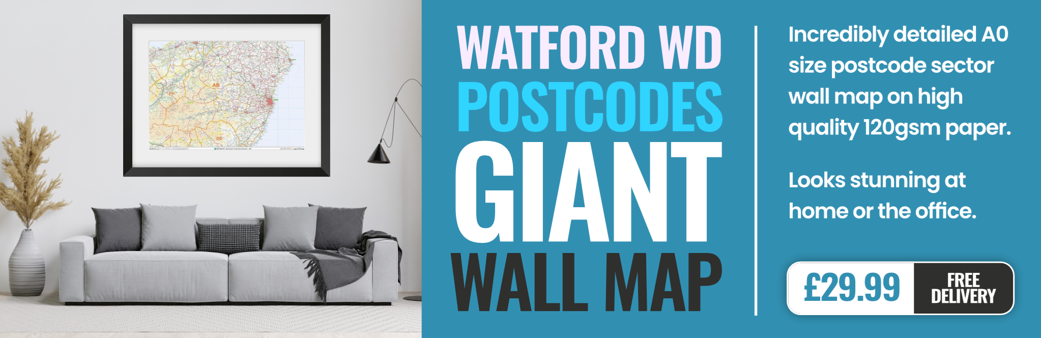
watford WD18 Postcodes
Spending a fortune on conveyancing?

Compare instant, low-cost online quotes from trusted conveyancing solicitors.
Backed by experts, our no-obligation service searches through the best conveyancing quotes on the market to save you time and money.
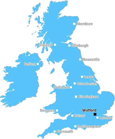
Watford (WD18)
The WD18 postcode area is located in the Watford postcode town region, within the county of Hertfordshire, and contains a total of 1374 individual postcodes.
There are 2 electoral wards in the WD18 postcode area, including Abbots Langley, Borehamwood, Bushey, Kings Langley, Radlett, Rickmansworth, Watford which come under the local authority of the Watford Council.
Combining the whole postcode region, 27% of people in WD18 are classed as having an AB social grade, (i.e. 'white-collar' middle-upper class), compared to 27% across the UK.
This does not mean that the people of WD18 are wealthier - or higher class - than average, but it can be an indication that the area may be prospering and desirable to live in.
The WD18 postcode area is located in the Watford district of the south east English county of Hertfordshire. It is part of the wider WD postcode area which covers the North-West Hertfordshire, St Albans and Watford districts.
WD18 covers the south east of Watford. It runs along both sides of the A412 road from Watford North station and has its northeastern corner at Oxhey park. It covers the upper part of town, including the Woodside, Westside, Leavesden, South Oxhey, Garston, Crumps Bottom, Holywell and Watford Field areas.
WD18 is a mainly residential area with many detached and semi-detached three bedroom houses. There are also some apartments. The area is very green, with many parks and nature reserves and good access to walkways and trails.
WD18 is one of the top areas for education in the UK. It has two primary schools (Woodside and South Oxhey) and a secondary school (Holywell). With Watford town centre and the University of Hertfordshire on its doorstep, WD18 is both an attractive postcode for those looking to move to the area or settle down for the long term.
WD18 has excellent transport links. There are a few main roads, including the A412 and M1, running through the area. Watford Junction and Watford North train stations are very close by, which offer frequent and reliable services to London. There are also buses which connect the area to other parts of Watford, St Albans and Hemel Hempstead.
WP18 is a popular shopping destination with several local stores and the big retail chain stores. There is also a large entertainment hub, complete with multiplex cinemas, bowling alley, gym and more.

Demographics
Hertfordshire

WD18 is located in the county of Hertfordshire, in England.
Hertfordshire has a total population of 1,176,700, making it the 12th largest county in the UK.
Hertfordshire has a total area of 634 square miles, and a population density of 716 people per square kilometre. For comparison, Greater London has a density of 5,618 people/km2.
| Outward Code | WD18 |
| Postal Town | Watford |
| MSOA Name | Watford 009 |
| LSOA Name | Watford 009D |
| County | Hertfordshire |
| Region | Hertfordshire |
| Country | England |
| Local Authority | Watford |
| Area Classification | Urban with Major Conurbation |
WD18 Electoral Wards
The postal region of WD18, includes the local towns, villages, electoral wards and stations of:
Dig even deeper into the WD18 postcode by clicking on a postcode below:
Click on an outward postal code below for more information about the area. Each 'outward' postcode give you a comprehensive list of all postcodes within the outward code area (WD) and estimated address.
Click on an 'outward' code for more information. For example, the outward postcode page 'EC2M' will give you an alphabetical list covering all postcodes located in the region, from 'EC2M 1BB' through to 'EC2M 7YA'.
Chris H
Saturday, April 6, 2024
We don't have any views of WD18 right now. If you live in WD18 or have visited it, please help us to help others by telling others what you think of this neighbourhood.
Add your view of WD18
People need your local expertise. If you live in WD18 or have first-hand knowledge of the neighbourhood, please consider sharing your views. It's completely anonymous - all we ask is for your initials.
Please tell us what you like about the WD18 postcode area, what you don't like, and what it's like to live or work here.
| LOCAL AMENITIES | |
| FAMILY FRIENDLY | |
| PARKING | |
| GREEN SPACES |
Local News Hertfordshire
Blackpool 0-0 Wycombe Wanderers
Blackpool were held to a 0-0 draw by Wycombe as the Seasiders' League One play-off hopes suffered a blow.
BBC NewsResidents emotional as Bedford postie retires
Graham McFiggins is said to have done more for the community than delivering letters.
BBC NewsDJ Greg James apologises for glass eye comment
James and Chris Smith say sorry for saying a glass eye would make a book character "more revolting".
BBC NewsBar venue with troubled history gets new licence
The previous incarnation lost its licence amid reports of sex acts in the garden and a mass brawl.
BBC NewsPrivate ambulance service aims to reduce NHS waits
It charges users to call a healthcare professional to their home for urgent but non-emergency cases.
BBC NewsNo hosepipe ban, says Anglian Water
Anglian Water says it has no plans to restrict the use of hosepipes this summer.
BBC NewsRegion faces rail strike disruption
Industrial action will take place across five days affecting the Greater Anglia network.
BBC NewsGarrard to leave Boreham Wood at end of season
Luke Garrard will step down as Boreham Wood manager at the end of the season.
BBC NewsFrom the Postcode Area blog

Deciphering Crime Rates - a Deep Dive Into UK Postcode Analysis
Ever wondered about the crime rate in your UK postcode? You're not alone. We've dug deep into the data, uncovering trends and patterns that'll make your head spin.

Death of the High Street?
The BBC reports that despite councils' attempts to kurb them, the UK's high streets have seen a huge growth in fast food outlets. Could this mark the death knell for the Great British high street, and what can we do about it to halt its decline?

Discrimination by Postcode
You really couldn't make it up, could you? Some of the country's most vulnerable people are missing out on their weekly £25 Cold Weather Payment, just because the system that's in operation is discriminating against them because payments are based on postcode, rather than geographic location.

The Redesign is Underway
Well, the current website was absolutely in dire need of a good redesign - from the ground up. So I set out to pull it all apart and get it up and running again to become the most comprehensive guide to every postcode in the UK. And it's been a long, tough job from start to finish - and quite possibly the biggest project I've ever undertaken.
SOCIAL GRADES
According to census records, 27% of people here have a social grade of AB (highest), compared to the national average of 27%.