walsall WS11 Postcodes
Spending a fortune on conveyancing?

Compare instant, low-cost online quotes from trusted conveyancing solicitors.
Backed by experts, our no-obligation service searches through the best conveyancing quotes on the market to save you time and money.
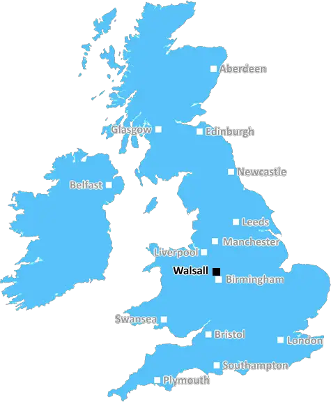
Walsall (WS11)
The WS11 postcode area is located in the Walsall postcode town region, within the county of Staffordshire, and contains a total of 1886 individual postcodes.
There are 34 electoral wards in the WS11 postcode area, including Burntwood, Cannock, Lichfield, Rugeley, Walsall, Wednesbury which come under the local authority of the Cannock Chase Council.
Combining the whole postcode region, 15% of people in WS11 are classed as having an AB social grade, (i.e. 'white-collar' middle-upper class), compared to 27% across the UK.
This does not mean that the people of WS11 are poorer than other areas, but it may give an indication that there are areas of deprivation.
WS11 is a postcode district located in the Walsall district of England. It is part of the West Midlands postal county and covers about eight square miles of the northern borough of Walsall in the county of West Midlands.
WS11 covers the areas of Cheslyn Hay, Great Wyrley, Norton Canes, Pelsall and Shareshill. It borders the postcode areas of WS2 (Walsall) to the south, WS15 (Rugeley and Cannock) to the east and WS10 (Wednesbury) to the west.
The local area of WS11 has good transport links, with the A4124 motorway which links Walsall to Birmingham running through the postcode district. The M6, M6 Toll and M54 motorways are also within easy reach of WS11, allowing access to the main cities of the West Midlands and neighbouring regions.
The area of WS11 is primarily residential, with only a small number of commercial businesses. Cheslyn Hay in particular has a number of smaller shops and restaurants. There are two churches in the area; St Johns church in Great Wyrley and All Saints church in Shareshill. Both churches have long histories and have been an integral part of the community for many years.
Education in WS11 is well served by a number of primary and secondary schools including Cheslyn Hay Primary School, Great Wyrley High School and Pelsall Village Primary School, as well as a further education college. The Birmingham City University and Aston University campuses are also close to the district, providing access to higher education.
Leisure facilities in WS11 are plentiful with two public parks located in Fallsow and Shareshill, as well as golf courses, cricket pitches and sports centres. There are also a number of pubs and pubs such as The Cricketers and The Falcon Inn which offer traditional British pub grub and real ales.
WS11 is a desirable postcode for many people due to its good transport links, high quality education and leisure facilities, and vibrant local community.

Demographics

Staffordshire

WS11 is located in the county of Staffordshire, in England.
Staffordshire has a total population of 1,120,300, making it the 17th largest county in the UK.
Staffordshire has a total area of 1047 square miles, and a population density of 412 people per square kilometre. For comparison, Greater London has a density of 5,618 people/km2.
| Outward Code | WS11 |
| Postal Town | Walsall |
| MSOA Name | Cannock Chase 012 |
| LSOA Name | Cannock Chase 012B |
| County | Staffordshire |
| Region | Staffordshire |
| Country | England |
| Local Authority | Cannock Chase |
| Area Classification | Urban with Significant Rural (rural including hub towns 26-49%) |
WS11 Electoral Wards
The postal region of WS11, includes the local towns, villages, electoral wards and stations of:
Dig even deeper into the WS11 postcode by clicking on a postcode below:
Click on an outward postal code below for more information about the area. Each 'outward' postcode give you a comprehensive list of all postcodes within the outward code area (WS) and estimated address.
Click on an 'outward' code for more information. For example, the outward postcode page 'EC2M' will give you an alphabetical list covering all postcodes located in the region, from 'EC2M 1BB' through to 'EC2M 7YA'.
Chris H
Tuesday, April 9, 2024
We don't have any views of WS11 right now. If you live in WS11 or have visited it, please help us to help others by telling others what you think of this neighbourhood.
Add your view of WS11
People need your local expertise. If you live in WS11 or have first-hand knowledge of the neighbourhood, please consider sharing your views. It's completely anonymous - all we ask is for your initials.
Please tell us what you like about the WS11 postcode area, what you don't like, and what it's like to live or work here.
| LOCAL AMENITIES | |
| FAMILY FRIENDLY | |
| PARKING | |
| GREEN SPACES |
Local News Staffordshire
'We would have died without RNLI rescuers'
Alex Hodson and the boy got caught out by the tide in north Wales on a "calm beautiful day".
BBC NewsSchool refurbishments could be given the green light
A total of 56 million will be spent on building new schools, and maintaining and improving existing ones in Staffordshire over the coming year.
Staffordshire County CouncilNine out of 10 parents allocated their first choice secondary school
Nine out of 10 parents will learn today that they have been allocated their first choice secondary school in Staffordshire. Of the 8,482 offers made for a Staffordshire secondary school at age 11, 90.&hellip
Staffordshire County CouncilHighways improvements to start in Lichfield next week
A major highways improvements scheme in Lichfield will start on Monday 25 March.
Staffordshire County CouncilRecap: A50 partially blocked after 'five-vehicle pile-up'
Traffic is queuing between Uttoxeter and Blythe Bridge
Stoke SentinelFive defendants before North Staffordshire's courts
They've all appeared at Stoke-on-Trent Crown Court or North Staffordshire Justice Centre
Stoke SentinelFirefighters deliver Middleport blaze verdict as drivers told 'avoid area'
Crews from four stations were called to the three-storey building on Middleport's Newcastle Street
Stoke SentinelCouncil leader answers your questions
Leader of Stoke-on-Trent City Council, councillor Jane Ashworth answers your questions.
BBC NewsFrom the Postcode Area blog

Deciphering Crime Rates - a Deep Dive Into UK Postcode Analysis
Ever wondered about the crime rate in your UK postcode? You're not alone. We've dug deep into the data, uncovering trends and patterns that'll make your head spin.

Death of the High Street?
The BBC reports that despite councils' attempts to kurb them, the UK's high streets have seen a huge growth in fast food outlets. Could this mark the death knell for the Great British high street, and what can we do about it to halt its decline?

Discrimination by Postcode
You really couldn't make it up, could you? Some of the country's most vulnerable people are missing out on their weekly £25 Cold Weather Payment, just because the system that's in operation is discriminating against them because payments are based on postcode, rather than geographic location.

The Redesign is Underway
Well, the current website was absolutely in dire need of a good redesign - from the ground up. So I set out to pull it all apart and get it up and running again to become the most comprehensive guide to every postcode in the UK. And it's been a long, tough job from start to finish - and quite possibly the biggest project I've ever undertaken.
SOCIAL GRADES
According to census records, 15% of people here have a social grade of AB (highest), compared to the national average of 27%.