tonbridge TN22 Postcodes
Spending a fortune on conveyancing?

Compare instant, low-cost online quotes from trusted conveyancing solicitors.
Backed by experts, our no-obligation service searches through the best conveyancing quotes on the market to save you time and money.
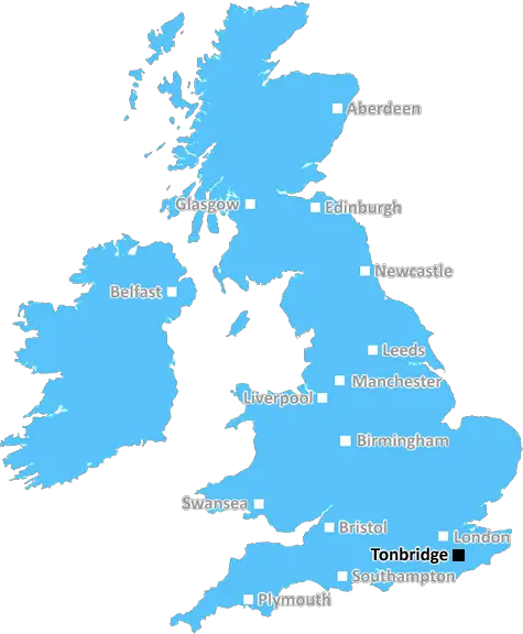
Tonbridge (TN22)
The TN22 postcode area is located in the Tonbridge postcode town region, within the county of East Sussex, and contains a total of 1392 individual postcodes.
There are 88 electoral wards in the TN22 postcode area, including Ashford, Battle, Bexhill-On-Sea, Cranbrook, Crowborough, Edenbridge, Etchingham, Hartfield, Hastings, Heathfield, Mayfield, New Romney, Robertsbridge, Romney Marsh, Rye, Sevenoaks, St Leonards-On-Sea, Tenterden, Tonbridge, Tunbridge Wells, Uckfield, Wadhurst, Westerham, Winchelsea which come under the local authority of the Wealden Council.
Combining the whole postcode region, 32% of people in TN22 are classed as having an AB social grade, (i.e. 'white-collar' middle-upper class), compared to 27% across the UK.
This does not mean that the people of TN22 are wealthier - or higher class - than average, but it can be an indication that the area may be prospering and desirable to live in.
The TN22 postcode in the UK is a postcode district located in the East Sussex county of England. It covers the areas of Heathfield, Cross in Hand and Burwash Common and parts of the rural Wealden district, which is mainly comprised of a complex landscape of heathland, ridges, slopes and valleys.
Within the TN22 postcode area, the towns and villages include Brightling, Burwash Common, Mayfield, Cade Street, Burwash Village, Five Ashes, Hurst Green, Mountfield, Netherfield, Punnetts Town, Rushlake Green, and Waldron. The TN22 postcode area also serves the hamlets of Chimney Corner, Effect Cross, Goodstone, Little London and Shuttleworth.
Facilities in the vicinity of the TN22 postcode area include a number of public and private schools such as Partridge Green Primary School and Priestwood Junior School, as well as numerous National Trust historic houses and gardens. Furthermore, this postcode area is home to several supermarkets, including Tesco, Sainsbury's and Waitrose.
The TN22 postcode also encompasses Uckfield town, which contains many public amenities, such as the Civic Centre, its library, and the leisure centre with a variety of facilities. Other attractions in Uckfield include the museum, the River Uck and its surrounding nature walks, and the open-air market on a Friday every week.
The TN22 postcode area is host to a wide variety of well-known industries and employers, ranging from aerospace and automotive companies to agricultural, manufacturing, retailing, IT consultancy and health care organisations. The major employers in this area include Forest Row Farming Company, Sodexo, Atkins, Nourish Drinks, Legrand and Uckfield Health Centre.
Additionally, people living in this postcode area benefit from several nearby public transport links, including buses to major destinations and easy access to rail services from Uckfield Railway Station. Uckfield station offers frequent links to London, as well as direct rail services to Eastbourne and Brighton.
TheTN22 postcode area provides excellent educational, leisure, and employment opportunities for its residents, along with convenient public transport links. Local attractions include historical venues such as Bateman's House, as well as parks, rivers and woods.

Demographics

East Sussex

TN22 is located in the county of East Sussex, in England.
East Sussex has a total population of 837,000, making it the 29th largest county in the UK.
East Sussex has a total area of 692 square miles, and a population density of 467 people per square kilometre. For comparison, Greater London has a density of 5,618 people/km2.
| Outward Code | TN22 |
| Postal Town | Tonbridge |
| MSOA Name | Wealden 009 |
| LSOA Name | Wealden 009B |
| County | East Sussex |
| Region | East Sussex |
| Country | England |
| Local Authority | Wealden |
| Area Classification | Mainly Rural (rural including hub towns >=80%) |
TN22 Electoral Wards
The postal region of TN22, includes the local towns, villages, electoral wards and stations of:
Dig even deeper into the TN22 postcode by clicking on a postcode below:
Click on an outward postal code below for more information about the area. Each 'outward' postcode give you a comprehensive list of all postcodes within the outward code area (TN) and estimated address.
Click on an 'outward' code for more information. For example, the outward postcode page 'EC2M' will give you an alphabetical list covering all postcodes located in the region, from 'EC2M 1BB' through to 'EC2M 7YA'.
Chris H
Thursday, April 11, 2024
We don't have any views of TN22 right now. If you live in TN22 or have visited it, please help us to help others by telling others what you think of this neighbourhood.
Add your view of TN22
People need your local expertise. If you live in TN22 or have first-hand knowledge of the neighbourhood, please consider sharing your views. It's completely anonymous - all we ask is for your initials.
Please tell us what you like about the TN22 postcode area, what you don't like, and what it's like to live or work here.
| LOCAL AMENITIES | |
| FAMILY FRIENDLY | |
| PARKING | |
| GREEN SPACES |
Local News Sussex
Windmill Entertainment Centre to reopen after fire
A date is announced for the reopening of the Windmill Entertainment Centre.
BBC NewsArsenal beat Brighton to move top of Premier League
Arsenal maintained their pursuit of a first Premier League title for 20 years as they moved top of the table with an impressive away victory over Brighton.
BBC NewsCity centre road shut over roof safety fears
Fire crews are urging people to stay away from North Street after reports of loose metal on a roof.
BBC NewsPlaque removed from Eazy-E memorial bench
The Eazy-E bench has been a unique tourist spot for five years, but the plaque has now been removed.
BBC NewsNavy veteran wins award for fighting LGBT ban
Ms Riley took the UK to the European Court of Human Rights to challenge the ban.
BBC News'Hardest Geezer' Cook completes run across Africa
Almost one year after starting, Russ Cook - more widely known as the Hardest Geezer - completes his challenge to run the length of Africa.
BBC NewsBill Nighy backs campaign to save local post office
The Hollywood actor will star in a fundraising event to secure the future of Felpham post office.
BBC NewsPC accused of sex attack claims woman was flirting
Sussex PC Daniel Julian is on trial accused of trying to rape a police officer in a hotel room.
BBC NewsFrom the Postcode Area blog

Deciphering Crime Rates - a Deep Dive Into UK Postcode Analysis
Ever wondered about the crime rate in your UK postcode? You're not alone. We've dug deep into the data, uncovering trends and patterns that'll make your head spin.

Death of the High Street?
The BBC reports that despite councils' attempts to kurb them, the UK's high streets have seen a huge growth in fast food outlets. Could this mark the death knell for the Great British high street, and what can we do about it to halt its decline?

Discrimination by Postcode
You really couldn't make it up, could you? Some of the country's most vulnerable people are missing out on their weekly £25 Cold Weather Payment, just because the system that's in operation is discriminating against them because payments are based on postcode, rather than geographic location.

The Redesign is Underway
Well, the current website was absolutely in dire need of a good redesign - from the ground up. So I set out to pull it all apart and get it up and running again to become the most comprehensive guide to every postcode in the UK. And it's been a long, tough job from start to finish - and quite possibly the biggest project I've ever undertaken.
SOCIAL GRADES
According to census records, 32% of people here have a social grade of AB (highest), compared to the national average of 27%.