tonbridge TN31 Postcodes
Spending a fortune on conveyancing?

Compare instant, low-cost online quotes from trusted conveyancing solicitors.
Backed by experts, our no-obligation service searches through the best conveyancing quotes on the market to save you time and money.
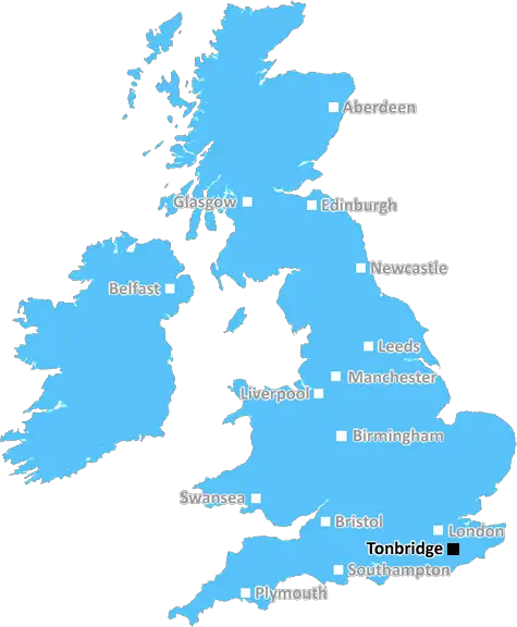
Tonbridge (TN31)
The TN31 postcode area is located in the Tonbridge postcode town region, within the county of East Sussex, and contains a total of 740 individual postcodes.
There are 38 electoral wards in the TN31 postcode area, including Ashford, Battle, Bexhill-On-Sea, Cranbrook, Crowborough, Edenbridge, Etchingham, Hartfield, Hastings, Heathfield, Mayfield, New Romney, Robertsbridge, Romney Marsh, Rye, Sevenoaks, St Leonards-On-Sea, Tenterden, Tonbridge, Tunbridge Wells, Uckfield, Wadhurst, Westerham, Winchelsea which come under the local authority of the Rother Council.
Combining the whole postcode region, 20% of people in TN31 are classed as having an AB social grade, (i.e. 'white-collar' middle-upper class), compared to 27% across the UK.
This does not mean that the people of TN31 are poorer than other areas, but it may give an indication that there are areas of deprivation.
The TN31 postcode is located in the Tonbridge district of Kent, England, and covers the area from Flimwell to Goudhurst. It is part of the Sevenoaks post town and is administered by the Tonbridge and Malling Borough Council. The TN31 postcode is home to the towns of Hawkhurst, Horsmonden, Sandhurst, Goudhurst, Flimwell and several surrounding villages.
TN31's main shopping destination is Goudhurst, which is located in the east and offers a variety of small independent shops and businesses, such as Delfland Deli, Cogues Homemade Fudge, Ace Cycles, King Edward VII & the Forge. In Goudhurst, there are also a number of pubs, such as The Kings Head and The Milestone, as well as the village church and a post office. In the western part of TN31 lies Hawkhurst, which is home to a large Co-op supermarket, as well as a post office and a selection of small independent shops.
Other popular village destinations in the TN31 postcode include Sandhurst, a village situated between Cranbrook and Hawkhurst that is famous for its fruit growing industry; Horsmonden, a picturesque village in the heart of the Kent Weald, home to an organic farm shop and a pub; and Flimwell, a small village in the heart of the countryside with the Flimwell House Inn and a number of small shops. There are also several smaller villages in the TN31 postcode, such as Kilndown, Kilngreen, Stonegate, High Halden, Benenden and Biddenden.
The TN31 postcode area is home to a number of outdoor attractions such as Bedgebury Forest and Bedgebury National Pinetum, Kent & Sussex Railway, and Goudhurst Station. There are also a number of historic sites and places of interest in the area, including Scotney Castle, Lamberhurst Vineyard, and Penshurst Place. In addition, TN31 is within easy reach of some of England's finest countryside, with the North Downs and High Weald AONB located nearby.

Demographics

East Sussex

TN31 is located in the county of East Sussex, in England.
East Sussex has a total population of 837,000, making it the 29th largest county in the UK.
East Sussex has a total area of 692 square miles, and a population density of 467 people per square kilometre. For comparison, Greater London has a density of 5,618 people/km2.
| Outward Code | TN31 |
| Postal Town | Tonbridge |
| MSOA Name | Rother 004 |
| LSOA Name | Rother 004D |
| County | East Sussex |
| Region | East Sussex |
| Country | England |
| Local Authority | Rother |
| Area Classification | Largely Rural (rural including hub towns 50-79%) |
TN31 Electoral Wards
The postal region of TN31, includes the local towns, villages, electoral wards and stations of:
Dig even deeper into the TN31 postcode by clicking on a postcode below:
Click on an outward postal code below for more information about the area. Each 'outward' postcode give you a comprehensive list of all postcodes within the outward code area (TN) and estimated address.
Click on an 'outward' code for more information. For example, the outward postcode page 'EC2M' will give you an alphabetical list covering all postcodes located in the region, from 'EC2M 1BB' through to 'EC2M 7YA'.
Chris H
Thursday, May 16, 2024
We don't have any views of TN31 right now. If you live in TN31 or have visited it, please help us to help others by telling others what you think of this neighbourhood.
Add your view of TN31
People need your local expertise. If you live in TN31 or have first-hand knowledge of the neighbourhood, please consider sharing your views. It's completely anonymous - all we ask is for your initials.
Please tell us what you like about the TN31 postcode area, what you don't like, and what it's like to live or work here.
| LOCAL AMENITIES | |
| FAMILY FRIENDLY | |
| PARKING | |
| GREEN SPACES |
Local News Sussex
Brighton tried to sign Palmer from Manchester City
Brighton manager Roberto de Zerbi says he attempted to sign Cole Palmer from Manchester City last summer.
BBC NewsDe Zerbi 'speaks with his heart on his sleeve'
Brighton chief executive Paul Barber talks Roberto De Zerbi future; a successful season; fans expectations and 'New Deal'.
BBC NewsNew bus lane to help cut cancellations and delays
A council said the bus lane will not mean a reduction in the current number of traffic lanes.
BBC NewsParty-goer had 'no idea' she filmed fight
It is claimed the teenager was stabbed three times on a crowded dance floor at a party in Warnham.
BBC NewsSunak challenged over release of dangerous criminals
The prime minister insists no-one deemed a threat to public safety is eligible for early release.
BBC NewsGatwick Express marks 40 years with waistcoats
Mark Thake, Gatwick Express supervisor, says he is proud to be on board for the anniversary.
BBC NewsMidfielder Lallana to leave Brighton this summer
Adam Lallana says he "needs time to reflect" before deciding on his future after choosing to leave Brighton at the end of this season.
BBC NewsLaws strengthened after mortuary sex abuse case
The government says it will increase sentences for those convicted of abusing dead bodies.
BBC NewsFrom the Postcode Area blog

Deciphering Crime Rates - a Deep Dive Into UK Postcode Analysis
Ever wondered about the crime rate in your UK postcode? You're not alone. We've dug deep into the data, uncovering trends and patterns that'll make your head spin.

Death of the High Street?
The BBC reports that despite councils' attempts to kurb them, the UK's high streets have seen a huge growth in fast food outlets. Could this mark the death knell for the Great British high street, and what can we do about it to halt its decline?

Discrimination by Postcode
You really couldn't make it up, could you? Some of the country's most vulnerable people are missing out on their weekly £25 Cold Weather Payment, just because the system that's in operation is discriminating against them because payments are based on postcode, rather than geographic location.

The Redesign is Underway
Well, the current website was absolutely in dire need of a good redesign - from the ground up. So I set out to pull it all apart and get it up and running again to become the most comprehensive guide to every postcode in the UK. And it's been a long, tough job from start to finish - and quite possibly the biggest project I've ever undertaken.
SOCIAL GRADES
According to census records, 20% of people here have a social grade of AB (highest), compared to the national average of 27%.