oldham OL14 Postcodes
Spending a fortune on conveyancing?

Compare instant, low-cost online quotes from trusted conveyancing solicitors.
Backed by experts, our no-obligation service searches through the best conveyancing quotes on the market to save you time and money.
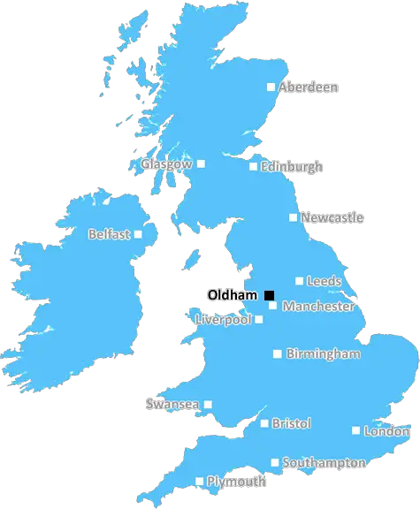
Oldham (OL14)
The OL14 postcode area is located in the Oldham postcode town region, within the county of West Yorkshire, and contains a total of 982 individual postcodes.
There are 29 electoral wards in the OL14 postcode area, including Ashton-Under-Lyne, Bacup, Heywood, Littleborough, Oldham, Rochdale, Todmorden which come under the local authority of the Calderdale Council.
Combining the whole postcode region, 23% of people in OL14 are classed as having an AB social grade, (i.e. 'white-collar' middle-upper class), compared to 27% across the UK.
This does not mean that the people of OL14 are poorer than other areas, but it may give an indication that there are areas of deprivation.
The OL14 postcode covers an area within the Metropolitan Borough of Oldham in Greater Manchester in the North West of England. It covers the localities of Calderbrook, Denshaw, Whitworth, Shawclough, Broadley and Newhey.
Most of OL14 is located in the rural parts of the borough, with steep hills and woods. It lies adjacent to the areas of OL12, OL15, OL16 and OL17.
Calderbrook, growing from the small mill village of days past, is now a desirable area close to open countryside. It's close to the lovely village of Bamford and the town of Shaw. The small village of Denshaw is located just to the southeast of Oldham and experiences much less of the congestion that Oldham does. There is a pub in the area; The Navigation Inn, and good public transport links, perfect for those wishing to commute to either Manchester or Rochdale.
Whitworth lies north of Rochdale. It's mainly residential and features a traditional market square, post office, library and park. Whitworth also has an annual fair held on the first Saturday in October, with amusements, live music, traditional food and drinks and stalls.
Shawclough is a small residential area situated on the edge of the town of Rochdale. It has local shops and businesses, as well as a community centre.
Broadley is a popular settlement along the River Beal in West Yorkshire and is close to Leeds, Bradford and Huddersfield. The area is well known for its scenic views of the Pennines and has multiple trails for walkers and cyclists.
Newhey is a semi-rural residential area located in long valley, between Rochdale and Huddersfield. It has a small village centre, two parks and a playground. It is also home to a newly renovated library and a pub, the Old Bridge Inn.
Public transport links in OL14 are provided by the Oldham Loop Line and Manchester Metrolink tram network. The area is served by local buses, including the 409, 410 and 413 services, which all run to Oldham. The nearest railway station is Slade Lane, one stop to the east of Oldham Central.
The OL14 covers a mix of urban and rural communities where locals and visitors alike can enjoy the peace and quiet of the countryside, as well as numerous shops, pubs, restaurants and services.

Demographics
West Yorkshire

OL14 is located in the county of West Yorkshire, in England.
West Yorkshire has a total population of 2,299,700, making it the 4th largest county in the UK.
West Yorkshire has a total area of 783 square miles, and a population density of 1133 people per square kilometre. For comparison, Greater London has a density of 5,618 people/km2.
| Outward Code | OL14 |
| Postal Town | Oldham |
| MSOA Name | Calderdale 013 |
| LSOA Name | Calderdale 013B |
| County | West Yorkshire |
| Region | West Yorkshire |
| Country | England |
| Local Authority | Calderdale |
| Area Classification | Urban with Major Conurbation |
OL14 Electoral Wards
The postal region of OL14, includes the local towns, villages, electoral wards and stations of:
Dig even deeper into the OL14 postcode by clicking on a postcode below:
Click on an outward postal code below for more information about the area. Each 'outward' postcode give you a comprehensive list of all postcodes within the outward code area (OL) and estimated address.
Click on an 'outward' code for more information. For example, the outward postcode page 'EC2M' will give you an alphabetical list covering all postcodes located in the region, from 'EC2M 1BB' through to 'EC2M 7YA'.
Chris H
Tuesday, April 16, 2024
We don't have any views of OL14 right now. If you live in OL14 or have visited it, please help us to help others by telling others what you think of this neighbourhood.
Add your view of OL14
People need your local expertise. If you live in OL14 or have first-hand knowledge of the neighbourhood, please consider sharing your views. It's completely anonymous - all we ask is for your initials.
Please tell us what you like about the OL14 postcode area, what you don't like, and what it's like to live or work here.
| LOCAL AMENITIES | |
| FAMILY FRIENDLY | |
| PARKING | |
| GREEN SPACES |
Local News Lancashire
Blackpool South by-election to take place in May
It comes after Ex-Tory MP Scott Benton stood down rather than face a recall petition.
BBC NewsSurvival fight over sea gate costs - port authority
The costs incurred following a broken harbour sea gate are "unsustainable", says a port authority.
BBC NewsPassenger, 90, dies following fall on bus
The elderly man died two weeks after falling onboard a bus in Chorley.
BBC NewsMuric own goal 'not his fault' as Burnley denied win
A calamitous own goal by goalkeeper Arijanet Muric prevents Burnley from securing a vital Premier League win over Brighton at Turf Moor.
BBC NewsLocal elections 2024: Who can I vote for?
Use our lookup to see if there is an election in your area and who you can vote for on 2 May
BBC NewsHampshire and Lancashire settle for a draw
Hampshire's match with Lancashire in Southampton ends in a draw late on the final day with no prospect of a win for either side.
BBC NewsCan I take a selfie at a polling station?
The rules on everything from dogs, children, ID and selfies to voting while drunk.
BBC NewsElection poll tracker: How do the parties compare?
How do people say they will vote in the UK general election? Our poll tracker measures the trends.
BBC NewsFrom the Postcode Area blog

Deciphering Crime Rates - a Deep Dive Into UK Postcode Analysis
Ever wondered about the crime rate in your UK postcode? You're not alone. We've dug deep into the data, uncovering trends and patterns that'll make your head spin.

Death of the High Street?
The BBC reports that despite councils' attempts to kurb them, the UK's high streets have seen a huge growth in fast food outlets. Could this mark the death knell for the Great British high street, and what can we do about it to halt its decline?

Discrimination by Postcode
You really couldn't make it up, could you? Some of the country's most vulnerable people are missing out on their weekly £25 Cold Weather Payment, just because the system that's in operation is discriminating against them because payments are based on postcode, rather than geographic location.

The Redesign is Underway
Well, the current website was absolutely in dire need of a good redesign - from the ground up. So I set out to pull it all apart and get it up and running again to become the most comprehensive guide to every postcode in the UK. And it's been a long, tough job from start to finish - and quite possibly the biggest project I've ever undertaken.
SOCIAL GRADES
According to census records, 23% of people here have a social grade of AB (highest), compared to the national average of 27%.