telford TF4 Postcodes
Spending a fortune on conveyancing?

Compare instant, low-cost online quotes from trusted conveyancing solicitors.
Backed by experts, our no-obligation service searches through the best conveyancing quotes on the market to save you time and money.
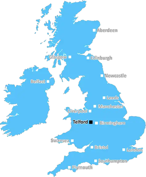
Telford (TF4)
The TF4 postcode area is located in the Telford postcode town region, within the county of Shropshire, and contains a total of 605 individual postcodes.
There are 17 electoral wards in the TF4 postcode area, including Broseley, Market Drayton, Much Wenlock, Newport, Shifnal, Telford which come under the local authority of the Telford and Wrekin Council.
Combining the whole postcode region, 16% of people in TF4 are classed as having an AB social grade, (i.e. 'white-collar' middle-upper class), compared to 27% across the UK.
This does not mean that the people of TF4 are poorer than other areas, but it may give an indication that there are areas of deprivation.
TF4 is a postcode in the Telford district of Shropshire, UK. The TF4 postcode area covers the northern, eastern, and western parts of Telford borough, including the towns of Hadley, Leegomery, Brookside, Ketley, Hollinswood, Sutton Hill, Lilleshall, Donnington, and Hadley Wood. The postcode also encompasses parts of the parish of Edgmond and the town of Edgmond.
Hadley is an ancient settlement with a strong historical past and traces of a Romano-British settlement have been found in the area. Hadley also has a distinctive church, 'The Saint Mary the Virgin Church'. Leegomery is the largest of the TF4 towns and its developed estate is twice the size of the historic centre.
The area has several industrial parks, including OTO Park, Hortonwood West, and Ditherington Industrial Estate. Shopping and leisure facilities in the area include Donnington Retail Park, Southwater One, the Telford Forge Retail Park, and the Telford International Centre.
TF4 is well connected to other areas by road, with easy access to the M54 motorway, the A5 and A422 roads, as well as the Telford Central, Telford Steam Railway and Telford Town Centre train stations. Additionally, TF4 is well served by bus routes connecting it to local and regional destinations, including Shrewsbury, Newport, Stafford, Market Drayton and Abergavenny.
The district's demographics are predominantly white British (93.3%), with minority ethnic groups making up the remaining 6.7%. The most common socio-economic group is classified as Socio-economic group III (skilled non-manual) (36%). The median gross weekly pay of those living in TF4 is �364, compared to the national average of �459.
The TF4 postcode district has several schools and colleges, including the Madley Primary School, Donnington Wood Primary and The Telford Primary. There are also two Secondary Schools, the Abraham Darby Academy and Wrockwardine Wood Arts Academy. The Telford College of Arts and Technology is based in the area, with its engineering, management and IT activities catering to a wide range of levels.

Demographics
Shropshire

TF4 is located in the county of Shropshire, in England.
Shropshire has a total population of 486,300, making it the 42nd largest county in the UK.
Shropshire has a total area of 1346 square miles, and a population density of 139 people per square kilometre. For comparison, Greater London has a density of 5,618 people/km2.
| Outward Code | TF4 |
| Postal Town | Telford |
| MSOA Name | Telford and Wrekin 017 |
| LSOA Name | Telford and Wrekin 017A |
| County | Shropshire |
| Region | Shropshire |
| Country | England |
| Local Authority | Telford and Wrekin |
| Area Classification | Urban with City and Town |
TF4 Electoral Wards
The postal region of TF4, includes the local towns, villages, electoral wards and stations of:
Dig even deeper into the TF4 postcode by clicking on a postcode below:
Click on an outward postal code below for more information about the area. Each 'outward' postcode give you a comprehensive list of all postcodes within the outward code area (TF) and estimated address.
Click on an 'outward' code for more information. For example, the outward postcode page 'EC2M' will give you an alphabetical list covering all postcodes located in the region, from 'EC2M 1BB' through to 'EC2M 7YA'.
Chris H
Sunday, April 7, 2024
We don't have any views of TF4 right now. If you live in TF4 or have visited it, please help us to help others by telling others what you think of this neighbourhood.
Add your view of TF4
People need your local expertise. If you live in TF4 or have first-hand knowledge of the neighbourhood, please consider sharing your views. It's completely anonymous - all we ask is for your initials.
Please tell us what you like about the TF4 postcode area, what you don't like, and what it's like to live or work here.
| LOCAL AMENITIES | |
| FAMILY FRIENDLY | |
| PARKING | |
| GREEN SPACES |
Local News Shropshire
Shrewsbury Town report 3m loss for 2022-23
Shrewsbury Town report a 3m loss for the 2022-23 season - the club's eighth straight campaign in League One.
BBC NewsPotato farmer fears for crop amid 'relentless' rain
Alastair Heath is looking at how potatoes can be stored for longer amid challenging conditions.
BBC NewsLottery winners complete 25-year racecourse quest
Elaine and Derek Thompson have visited all 59 racecourses in the UK.
BBC News'Roger McGough touched my elbow'
Hear the poem from Shrewsbury writer Hazel, recognised by her literary hero!
BBC NewsSticky situation for Shropshire Mud Run
Organiser Simon MacDonald explains why they need a new venue.
BBC NewsFish artwork marks King Charles III's Coronation
Planning permission is granted for the artwork which pays homage to Newport's fishing heritage.
BBC NewsHow people power won the day in NHS fight
Town's hospital beds reopen after protests turned to co-operation between campaigners and the NHS.
BBC NewsIronbridge Rowing Club vandalism
A fundraiser has been launched after after one of their boats was vandalised on Saturday.
BBC NewsFrom the Postcode Area blog

Deciphering Crime Rates - a Deep Dive Into UK Postcode Analysis
Ever wondered about the crime rate in your UK postcode? You're not alone. We've dug deep into the data, uncovering trends and patterns that'll make your head spin.

Death of the High Street?
The BBC reports that despite councils' attempts to kurb them, the UK's high streets have seen a huge growth in fast food outlets. Could this mark the death knell for the Great British high street, and what can we do about it to halt its decline?

Discrimination by Postcode
You really couldn't make it up, could you? Some of the country's most vulnerable people are missing out on their weekly £25 Cold Weather Payment, just because the system that's in operation is discriminating against them because payments are based on postcode, rather than geographic location.

The Redesign is Underway
Well, the current website was absolutely in dire need of a good redesign - from the ground up. So I set out to pull it all apart and get it up and running again to become the most comprehensive guide to every postcode in the UK. And it's been a long, tough job from start to finish - and quite possibly the biggest project I've ever undertaken.
SOCIAL GRADES
According to census records, 16% of people here have a social grade of AB (highest), compared to the national average of 27%.