telford TF2 Postcodes
Spending a fortune on conveyancing?

Compare instant, low-cost online quotes from trusted conveyancing solicitors.
Backed by experts, our no-obligation service searches through the best conveyancing quotes on the market to save you time and money.
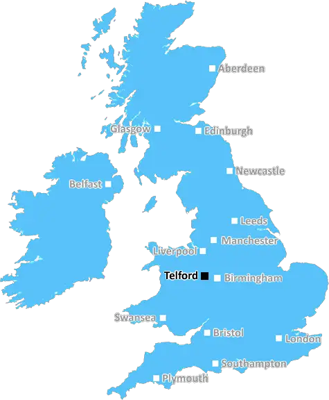
Telford (TF2)
The TF2 postcode area is located in the Telford postcode town region, within the county of Shropshire, and contains a total of 1386 individual postcodes.
There are 15 electoral wards in the TF2 postcode area, including Broseley, Market Drayton, Much Wenlock, Newport, Shifnal, Telford which come under the local authority of the Telford and Wrekin Council.
Combining the whole postcode region, 17% of people in TF2 are classed as having an AB social grade, (i.e. 'white-collar' middle-upper class), compared to 27% across the UK.
This does not mean that the people of TF2 are poorer than other areas, but it may give an indication that there are areas of deprivation.
The TF2 postcode covers a small area of Telford, Shropshire in the West Midlands region of England. It is approximately 4 miles (7 km) east-southeast of the centre of Telford and 6 miles (10 km) west of Ironbridge. The TF2 postcode area is home to approximately 11,286 people living in 4,499 households.
The postcode area is bounded by the TF10 postcode in the south, the WV15 postcode area in the west, the TF13 postcode in the north and the TF1 postcode in the east. The main locations in the postcode area are Hollinswood, Randlay, Donnington and Trench.
The landscape within the area is mostly urban with extensive residential areas, since it is situated in the heart of the Ironbridge Gorge World Heritage Site. There are also some rural areas, mostly to the south and east. Typical housing within the area is predominately modern semi-detached or terraced homes.
Two major motorways, the M54 and the M6, intersect nearby. The nearest mainline railway station is Telford Central. The A5 and the A442 also cross near the TF2 postcode.
With regards to educational facilities, the area is served by a number of primary schools and a secondary school, Church Aston Primary School, Muxton Primary School and Donnington Wood Primary School. For post-16 education, there is Wrockwardine Wood Sixth Form and The Telford College of Arts and Technology (TCAT).
Shopping facilities within the area are relatively limited but there are branches of major supermarkets, such as Tesco, Sainsbury's and Asda near the centre of Telford. In terms of leisure activities, there are several parks, such as Hollinswood Park, Randlay Park and Trenchwood Park, as well as lakes, rivers and woodlands. Other attractions include at Blists Hill Victorian Town and the Ironbridge Gorge Museum.

Demographics
Shropshire

TF2 is located in the county of Shropshire, in England.
Shropshire has a total population of 486,300, making it the 42nd largest county in the UK.
Shropshire has a total area of 1346 square miles, and a population density of 139 people per square kilometre. For comparison, Greater London has a density of 5,618 people/km2.
| Outward Code | TF2 |
| Postal Town | Telford |
| MSOA Name | Telford and Wrekin 014 |
| LSOA Name | Telford and Wrekin 014D |
| County | Shropshire |
| Region | Shropshire |
| Country | England |
| Local Authority | Telford and Wrekin |
| Area Classification | Urban with City and Town |
TF2 Electoral Wards
The postal region of TF2, includes the local towns, villages, electoral wards and stations of:
Dig even deeper into the TF2 postcode by clicking on a postcode below:
Click on an outward postal code below for more information about the area. Each 'outward' postcode give you a comprehensive list of all postcodes within the outward code area (TF) and estimated address.
Click on an 'outward' code for more information. For example, the outward postcode page 'EC2M' will give you an alphabetical list covering all postcodes located in the region, from 'EC2M 1BB' through to 'EC2M 7YA'.
TD, telford
Tuesday, April 2, 2019
There is very little crime reported in this area. There is a forest call "The Albion" which is opposite the Albion pub that is great for long walks and walking the dog. The council have addedd a court there over recrnt years to make it more cfhild friendly. There is a local school in walking distance with an indian, chinese and fish and chip resturants in the area. There is also a local church. This postcode is also a short walk to Priolsee lake which is a great place to take the kids to feed the ducks or great if you fancy a run. Very short drive to Telford Town Centre
Add your view of TF2
People need your local expertise. If you live in TF2 or have first-hand knowledge of the neighbourhood, please consider sharing your views. It's completely anonymous - all we ask is for your initials.
Please tell us what you like about the TF2 postcode area, what you don't like, and what it's like to live or work here.
| LOCAL AMENITIES | |
| FAMILY FRIENDLY | |
| PARKING | |
| GREEN SPACES |
Local News Shropshire
Ludlow play has sell-out London & Edinburgh shows
Hear from writer Henry Madd, whose production about his hometown is touring the country.
BBC News'Roger McGough touched my elbow'
Hear the poem from Shrewsbury writer Hazel, recognised by her literary hero!
BBC NewsLudlow's Morgan breaks record to reach Olympics
Oliver Morgan caps a remarkable rise by breaking the British 100m backstroke record to qualify for the Paris Olympics.
BBC NewsShrewsbury Town report 3m loss for 2022-23
Shrewsbury Town report a 3m loss for the 2022-23 season - the club's eighth straight campaign in League One.
BBC NewsFootball fan banned for attack during match
Luke Nickless has to hand his passport to police this summer, after he was involved in an attack.
BBC NewsPotato farmer fears for crop amid 'relentless' rain
Alastair Heath is looking at how potatoes can be stored for longer amid challenging conditions.
BBC NewsWet rot church needs repairs says faith leader
Slipped, chipped and damaged tiles are causing flooding and wet rot damage. inside, a report says.
BBC NewsMuch Wenlock's The Chainsaw Bloke
Joffrey Watson creates intricate sculptures out of cut down tree trunks!
BBC NewsFrom the Postcode Area blog

Deciphering Crime Rates - a Deep Dive Into UK Postcode Analysis
Ever wondered about the crime rate in your UK postcode? You're not alone. We've dug deep into the data, uncovering trends and patterns that'll make your head spin.

Death of the High Street?
The BBC reports that despite councils' attempts to kurb them, the UK's high streets have seen a huge growth in fast food outlets. Could this mark the death knell for the Great British high street, and what can we do about it to halt its decline?

Discrimination by Postcode
You really couldn't make it up, could you? Some of the country's most vulnerable people are missing out on their weekly £25 Cold Weather Payment, just because the system that's in operation is discriminating against them because payments are based on postcode, rather than geographic location.

The Redesign is Underway
Well, the current website was absolutely in dire need of a good redesign - from the ground up. So I set out to pull it all apart and get it up and running again to become the most comprehensive guide to every postcode in the UK. And it's been a long, tough job from start to finish - and quite possibly the biggest project I've ever undertaken.
SOCIAL GRADES
According to census records, 17% of people here have a social grade of AB (highest), compared to the national average of 27%.