stoke-on-trent ST16 Postcodes
Spending a fortune on conveyancing?

Compare instant, low-cost online quotes from trusted conveyancing solicitors.
Backed by experts, our no-obligation service searches through the best conveyancing quotes on the market to save you time and money.
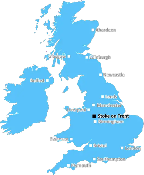
Stoke On Trent (ST16)
The ST16 postcode area is located in the Stoke On Trent postcode town region, within the county of Staffordshire, and contains a total of 1311 individual postcodes.
There are 13 electoral wards in the ST16 postcode area, including Leek, Newcastle, Stafford, Stoke-On-Trent, Stone, Uttoxeter which come under the local authority of the Stafford Council.
Combining the whole postcode region, 23% of people in ST16 are classed as having an AB social grade, (i.e. 'white-collar' middle-upper class), compared to 27% across the UK.
This does not mean that the people of ST16 are poorer than other areas, but it may give an indication that there are areas of deprivation.
The ST16 postcode covers the main towns of Stone, Swynnerton, Weston and Yarnfield but also encompasses various smaller settlements in North Staffordshire. The area is home to a variety of different businesses, industries and organisations.
The area comprises of predominantly residential areas although some industrial development just westwards of Stone can be seen along with greenbelt countryside, providing a more rural environment for some of its residents. The A34 runs north and south of Stone providing easy access into the centre of Stoke-on-Trent as well as further down towards Stafford and the M6. Stone also has its own railway station, connecting the town into the Crewe and Stoke on Trent network.
The area benefits from a range of educational facilities, with 14 primary schools, two secondary schools and a range of further education colleges in the locality. These range from independent and religious oversubscribed organisations such as Westwood College to smaller state funded educational providers, such as the Swynnerton Church of England School.
In terms of recreational activities, Stone has a range of leisure facilities and a few shops and places to eat. Yarnfield has a golf course and the area has many footpaths and bridleways including those along the Trent and Mersey canal. Stone also has a cinema, a leisure centre with a swimming pool and various activities, a bowling alley and a few pubs.
The area also has a few places of historical interest including Weston Old Hall, Stone House and the church of St. John the Baptist in Stone. There are also a few listed buildings, the oldest being of the 15th Century St Lawrence Church and the Church of St Mary.
The area is rich in history dating back to the years of the Domesday Book in 1086. Other events of interest mostly relate to the industrial backgrounds of the areas. With the Trent and Mersey Canal running through, transport and trade was obviously a major industry for the demographic of ST16 and the local branch of the canal is currently undergoing major restoration works.

Demographics

Staffordshire

ST16 is located in the county of Staffordshire, in England.
Staffordshire has a total population of 1,120,300, making it the 17th largest county in the UK.
Staffordshire has a total area of 1047 square miles, and a population density of 412 people per square kilometre. For comparison, Greater London has a density of 5,618 people/km2.
| Outward Code | ST16 |
| Postal Town | Stoke On Trent |
| MSOA Name | Stafford 012 |
| LSOA Name | Stafford 012B |
| County | Staffordshire |
| Region | Staffordshire |
| Country | England |
| Local Authority | Stafford |
| Area Classification | Urban with Significant Rural (rural including hub towns 26-49%) |
ST16 Electoral Wards
The postal region of ST16, includes the local towns, villages, electoral wards and stations of:
Dig even deeper into the ST16 postcode by clicking on a postcode below:
Click on an outward postal code below for more information about the area. Each 'outward' postcode give you a comprehensive list of all postcodes within the outward code area (ST) and estimated address.
Click on an 'outward' code for more information. For example, the outward postcode page 'EC2M' will give you an alphabetical list covering all postcodes located in the region, from 'EC2M 1BB' through to 'EC2M 7YA'.
CP, Stafford
Monday, September 24, 2018
The council clearly haven't thought about road planning at all. Sometimes it takes me more than an hour to drive from the north to the south of the town centre.
MR, Stafford
Monday, September 24, 2018
Local residents continuously ignore the yellow junction boxes in the town centre. They should start giving people fines for bad driving.
JY, Northfields
Monday, September 24, 2018
Horrified by the amount of litter on the roads and pavements around Northfields.
AP, Stafford
Monday, September 24, 2018
Seen a load of drug paraphernalia around the children's park on Prospect Road. Beware.
RR, Doxey Park
Monday, September 24, 2018
This part of Doxey is nice, right next to Doxey Marshes and great for getting into town. Also very close to the train station if you have to commute to Birmingham.
Add your view of ST16
People need your local expertise. If you live in ST16 or have first-hand knowledge of the neighbourhood, please consider sharing your views. It's completely anonymous - all we ask is for your initials.
Please tell us what you like about the ST16 postcode area, what you don't like, and what it's like to live or work here.
| LOCAL AMENITIES | |
| FAMILY FRIENDLY | |
| PARKING | |
| GREEN SPACES |
Local News Staffordshire
Footballer's statue moved to new location at stadium
The John Ritchie statue is moved to a new location at Stoke City FC's stadium on Saturday.
BBC NewsTesco shoppers furious over TikTok user who claims to make 250 an hour by flipping stock
A man and his friends have been branded 'sad' after they boasted about making a quick profit by clearing out Tesco's stock of calculators and reselling them online
Stoke SentinelWoman raising Sepsis awareness after grandad's death
Kellie Green used to be a nurse but now teaches first aid classes to help people recognise symptoms.
BBC NewsCity's largest leisure centre could be replaced
The venue is coming to the end of its lifespan, according to a council.
BBC NewsElectric vehicle charging network in Staffordshire set to progress with 4.6million backing
Development and growth of an electric charging network in Staffordshire is set to begin imminently with the release of 4.6million Government funding.
Staffordshire County CouncilStaffordshire Adult Learning and Skills Festival opens doors to free learning opportunities
People looking to develop their skills and increase their opportunities are being urged to find out more about the extensive range of learning options open to them at a free series of drop-in events r&hellip
Staffordshire County CouncilBaby among two dead and dozens ill after outbreak at Brit holiday hotspot
Cases of whooping cough has boomed at the start of 2024 with sufferers at the highest in more than a decade and cases reported across Europe
Stoke SentinelCouncil leader answers your questions
Leader of Stoke-on-Trent City Council, councillor Jane Ashworth answers your questions.
BBC NewsFrom the Postcode Area blog

Deciphering Crime Rates - a Deep Dive Into UK Postcode Analysis
Ever wondered about the crime rate in your UK postcode? You're not alone. We've dug deep into the data, uncovering trends and patterns that'll make your head spin.

Death of the High Street?
The BBC reports that despite councils' attempts to kurb them, the UK's high streets have seen a huge growth in fast food outlets. Could this mark the death knell for the Great British high street, and what can we do about it to halt its decline?

Discrimination by Postcode
You really couldn't make it up, could you? Some of the country's most vulnerable people are missing out on their weekly £25 Cold Weather Payment, just because the system that's in operation is discriminating against them because payments are based on postcode, rather than geographic location.

The Redesign is Underway
Well, the current website was absolutely in dire need of a good redesign - from the ground up. So I set out to pull it all apart and get it up and running again to become the most comprehensive guide to every postcode in the UK. And it's been a long, tough job from start to finish - and quite possibly the biggest project I've ever undertaken.
SOCIAL GRADES
According to census records, 23% of people here have a social grade of AB (highest), compared to the national average of 27%.