paisley PA29 Postcodes
Spending a fortune on conveyancing?

Compare instant, low-cost online quotes from trusted conveyancing solicitors.
Backed by experts, our no-obligation service searches through the best conveyancing quotes on the market to save you time and money.
Paisley (PA29)
The PA29 postcode area is located in the Paisley postcode town region, within the county of Argyllshire, and contains a total of 86 individual postcodes.
There are 55 electoral wards in the PA29 postcode area, including Appin, Bishopton, Bridge Of Orchy, Bridge Of Weir, Cairndow, Campbeltown, Colintraive, Dalmally, Dunoon, Erskine, Gourock, Greenock, Inveraray, Isle Of Bute, Isle Of Coll, Isle Of Colonsay, Isle Of Gigha, Isle Of Iona, Isle Of Islay, Isle Of Jura, Isle Of Mull, Isle Of Tiree, Johnstone, Kilmacolm, Lochgilphead, Lochwinnoch, Oban, Paisley, Port Glasgow, Renfrew, Skelmorlie, Tarbert, Taynuilt, Tighnabruaich, Wemyss Bay which come under the local authority of the Argyll & Bute Council.
Combining the whole postcode region, 0% of people in PA29 are classed as having an AB social grade, (i.e. 'white-collar' middle-upper class), compared to 27% across the UK.
This does not mean that the people of PA29 are poorer than other areas, but it may give an indication that there are areas of deprivation.
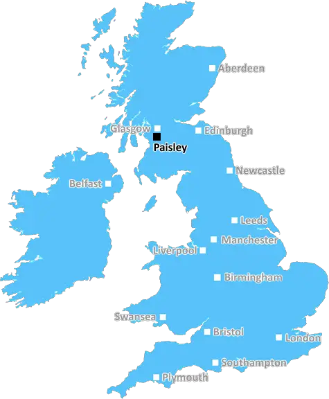
The PA29 postcode is located in areas of Paisley, Scotland, and is characterised by its mix of urban and rural landscapes. The Paisley district is part of the Greater Glasgow and Clyde metropolitan area, and is the fifth largest town in Scotland. The area is situated in the northern part of Renfrewshire, between Glasgow and the North Ayrshire coast.
The PA29 postcode includes the villages of Caldwell, Linwood, Houston and Crosslee, as well as the villages of Corselet, Gleniffer, Leckquharn and Valleyfield. It is well connected to major cities in Scotland, including Glasgow, Edinburgh and Stirling, and is within easy reach of Glasgow International Airport. It is also within close proximity to the M8 motorway, which links to the rest of Renfrewshire and the surrounding area.
The PA29 postcode offers a range of housing options, including terraced and semi-detached homes, as well as larger detached properties. There are a number of schools, nurseries and other educational establishments located in the district, and a range of leisure activities available for residents. The area is home to many shops, pubs, restaurants and other amenities, with ample opportunities for employment and entertainment.
Caldwell Park is located close to the PA29 postcode, offering people the chance to walk, play sports or relax in the beautiful surroundings. The park also hosts a range of events, including an annual music festival. Houston Woods, a nature reserve, is also nearby and provides a haven for wildlife, birds and flora and fauna.
Sporting activities are popular in Paisley, with St Mirren Football Club representing the district in the Scottish Premier League. There are numerous golf courses, equestrian centres and tennis clubs nearby, as well as several water sports venues. The area is a great place for families to live, offering plenty of accessibility and amenities to ensure that residents can live a comfortable and fulfilling life.

Demographics
Argyllshire

PA29 is located in the county of Argyllshire, in Scotland.
Argyllshire has a total population of 0, making it the largest county in the UK.
Argyllshire has a total area of square miles, and a population density of people per square kilometre. For comparison, Greater London has a density of 5,618 people/km2.
| Outward Code | PA29 |
| Postal Town | Paisley |
| MSOA Name | Kintyre Trail |
| LSOA Name | |
| County | Argyllshire |
| Region | Argyllshire |
| Country | Scotland |
| Local Authority | Argyll & Bute |
| Area Classification | Unclassified |
PA29 Electoral Wards
The postal region of PA29, includes the local towns, villages, electoral wards and stations of:
Dig even deeper into the PA29 postcode by clicking on a postcode below:
Click on an outward postal code below for more information about the area. Each 'outward' postcode give you a comprehensive list of all postcodes within the outward code area (PA) and estimated address.
Click on an 'outward' code for more information. For example, the outward postcode page 'EC2M' will give you an alphabetical list covering all postcodes located in the region, from 'EC2M 1BB' through to 'EC2M 7YA'.
Chris H
Monday, April 15, 2024
We don't have any views of PA29 right now. If you live in PA29 or have visited it, please help us to help others by telling others what you think of this neighbourhood.
Add your view of PA29
People need your local expertise. If you live in PA29 or have first-hand knowledge of the neighbourhood, please consider sharing your views. It's completely anonymous - all we ask is for your initials.
Please tell us what you like about the PA29 postcode area, what you don't like, and what it's like to live or work here.
| LOCAL AMENITIES | |
| FAMILY FRIENDLY | |
| PARKING | |
| GREEN SPACES |
From the Postcode Area blog

Deciphering Crime Rates - a Deep Dive Into UK Postcode Analysis
Ever wondered about the crime rate in your UK postcode? You're not alone. We've dug deep into the data, uncovering trends and patterns that'll make your head spin.

Death of the High Street?
The BBC reports that despite councils' attempts to kurb them, the UK's high streets have seen a huge growth in fast food outlets. Could this mark the death knell for the Great British high street, and what can we do about it to halt its decline?

Discrimination by Postcode
You really couldn't make it up, could you? Some of the country's most vulnerable people are missing out on their weekly £25 Cold Weather Payment, just because the system that's in operation is discriminating against them because payments are based on postcode, rather than geographic location.

The Redesign is Underway
Well, the current website was absolutely in dire need of a good redesign - from the ground up. So I set out to pull it all apart and get it up and running again to become the most comprehensive guide to every postcode in the UK. And it's been a long, tough job from start to finish - and quite possibly the biggest project I've ever undertaken.
SOCIAL GRADES
According to census records, 0% of people here have a social grade of AB (highest), compared to the national average of 27%.