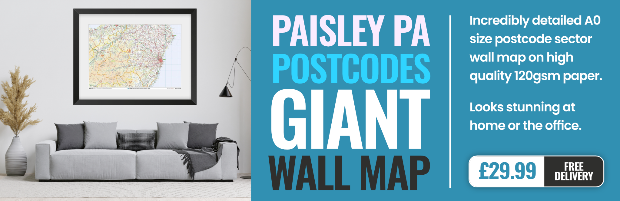
paisley PA2 Postcodes
Spending a fortune on conveyancing?

Compare instant, low-cost online quotes from trusted conveyancing solicitors.
Backed by experts, our no-obligation service searches through the best conveyancing quotes on the market to save you time and money.
Paisley (PA2)
The PA2 postcode area is located in the Paisley postcode town region, within the county of Renfrewshire, and contains a total of 1171 individual postcodes.
There are 21 electoral wards in the PA2 postcode area, including Appin, Bishopton, Bridge Of Orchy, Bridge Of Weir, Cairndow, Campbeltown, Colintraive, Dalmally, Dunoon, Erskine, Gourock, Greenock, Inveraray, Isle Of Bute, Isle Of Coll, Isle Of Colonsay, Isle Of Gigha, Isle Of Iona, Isle Of Islay, Isle Of Jura, Isle Of Mull, Isle Of Tiree, Johnstone, Kilmacolm, Lochgilphead, Lochwinnoch, Oban, Paisley, Port Glasgow, Renfrew, Skelmorlie, Tarbert, Taynuilt, Tighnabruaich, Wemyss Bay which come under the local authority of the Renfrewshire Council.
Combining the whole postcode region, 0% of people in PA2 are classed as having an AB social grade, (i.e. 'white-collar' middle-upper class), compared to 27% across the UK.
This does not mean that the people of PA2 are poorer than other areas, but it may give an indication that there are areas of deprivation.
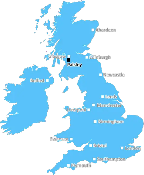
PA2 is a postcode district in Paisley, which lies on the outskirts of Glasgow in Scotland. It is bordered by the neighbouring postcode districts of PA1 to the east, PA3 to the south-west, G51 to the south and the northwest Highland area of Inverness to the north. The district covers an area of just over seven square miles, and its most prominent features include Thornly Park, a large public park situated near the centre of the district, and a number of industrial sites located in the area's west end.
Caldwell, Oakshaw, and Stockwell Park are all common place names found in the PA2 postcode district. The suburb provides access to several professional services and amenities, as well as rare natural beauty spots such as Thornly Park.
Schools situated within the PA2 postcode district include Oakshaw Primary School, Glencoats Primary School and Paisley Grammar School. These are all highly rated establishments that work in collaboration with local businesses in order to provide quality education to the local community.
The district is served by three train stations: Paisley St. James, Paisley Gilmour Street, and Paisley Canal. All of these are on the Glasgow South Western Line, which connects PA2 to major towns and cities both inside and outside of Scotland, such as London and Edinburgh.
Bus routes that serve PA2 provide convenient public transport links across the district, as well as connecting it to the wider West of Scotland area. Several bus companies operate primarily in the district, such as First Bus, Stagecoach and Glasgow Citybus, all of which run regular routes throughout the day.
The economy in the PA2 postcode district is primarily powered by the industrial estates located in the area's west end, as well as a small number of local, independent businesses. The district is also home to several local football clubs, such as Lochland AFC and Linwood Rangers, who participate in the local Paisley and District League.
All in all, the PA2 postcode district is a great place to live, with all the necessary amenities and transport links required for modern-day living, as well as a rich and diverse local history.

Demographics
Renfrewshire

PA2 is located in the county of Renfrewshire, in Scotland.
Renfrewshire has a total population of 0, making it the largest county in the UK.
Renfrewshire has a total area of square miles, and a population density of people per square kilometre. For comparison, Greater London has a density of 5,618 people/km2.
| Outward Code | PA2 |
| Postal Town | Paisley |
| MSOA Name | Paisley Foxbar |
| LSOA Name | |
| County | Renfrewshire |
| Region | Renfrewshire |
| Country | Scotland |
| Local Authority | Renfrewshire |
| Area Classification | Unclassified |
PA2 Electoral Wards
The postal region of PA2, includes the local towns, villages, electoral wards and stations of:
Dig even deeper into the PA2 postcode by clicking on a postcode below:
Click on an outward postal code below for more information about the area. Each 'outward' postcode give you a comprehensive list of all postcodes within the outward code area (PA) and estimated address.
Click on an 'outward' code for more information. For example, the outward postcode page 'EC2M' will give you an alphabetical list covering all postcodes located in the region, from 'EC2M 1BB' through to 'EC2M 7YA'.
Chris H
Monday, April 8, 2024
We don't have any views of PA2 right now. If you live in PA2 or have visited it, please help us to help others by telling others what you think of this neighbourhood.
Add your view of PA2
People need your local expertise. If you live in PA2 or have first-hand knowledge of the neighbourhood, please consider sharing your views. It's completely anonymous - all we ask is for your initials.
Please tell us what you like about the PA2 postcode area, what you don't like, and what it's like to live or work here.
| LOCAL AMENITIES | |
| FAMILY FRIENDLY | |
| PARKING | |
| GREEN SPACES |
From the Postcode Area blog

Deciphering Crime Rates - a Deep Dive Into UK Postcode Analysis
Ever wondered about the crime rate in your UK postcode? You're not alone. We've dug deep into the data, uncovering trends and patterns that'll make your head spin.

Death of the High Street?
The BBC reports that despite councils' attempts to kurb them, the UK's high streets have seen a huge growth in fast food outlets. Could this mark the death knell for the Great British high street, and what can we do about it to halt its decline?

Discrimination by Postcode
You really couldn't make it up, could you? Some of the country's most vulnerable people are missing out on their weekly £25 Cold Weather Payment, just because the system that's in operation is discriminating against them because payments are based on postcode, rather than geographic location.

The Redesign is Underway
Well, the current website was absolutely in dire need of a good redesign - from the ground up. So I set out to pull it all apart and get it up and running again to become the most comprehensive guide to every postcode in the UK. And it's been a long, tough job from start to finish - and quite possibly the biggest project I've ever undertaken.
SOCIAL GRADES
According to census records, 0% of people here have a social grade of AB (highest), compared to the national average of 27%.