oldham OL1 Postcodes
Spending a fortune on conveyancing?

Compare instant, low-cost online quotes from trusted conveyancing solicitors.
Backed by experts, our no-obligation service searches through the best conveyancing quotes on the market to save you time and money.
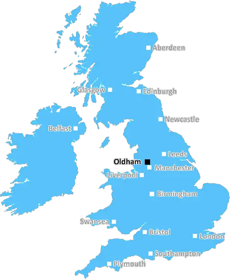
Oldham (OL1)
The OL1 postcode area is located in the Oldham postcode town region, within the county of Greater Manchester, and contains a total of 1357 individual postcodes.
There are 41 electoral wards in the OL1 postcode area, including Ashton-Under-Lyne, Bacup, Heywood, Littleborough, Oldham, Rochdale, Todmorden which come under the local authority of the Oldham Council.
Combining the whole postcode region, 13% of people in OL1 are classed as having an AB social grade, (i.e. 'white-collar' middle-upper class), compared to 27% across the UK.
This does not mean that the people of OL1 are poorer than other areas, but it may give an indication that there are areas of deprivation.
The OL1 (Oldham) postcode covers a large area of the Metropolitan Borough of Oldham in North West England. It includes the town of Oldham, plus a number of surrounding towns and villages such as Chadderton, Crompton, Failsworth, Hollinwood, Lees, Middleton, Moston, Royton, Shaw and Swinton.
Oldham is an important centre of industry in Greater Manchester. In the 19th century it was a major centre for textile manufacturing, and in the 20th century the area developed an engineering and metalworking industry. Oldham is now predominantly a retail centre, with two shopping centres: The Spindles and The Mall Oldham. It is also home to a number of large companies and many smaller, independent businesses.
The OL1 postcode is well connected to the wider area by transport links including the M60 motorway, which provides access to Greater Manchester and the North West. There are several railway stations in the postcode area, with direct services to Manchester, Leeds, Sheffield, Liverpool and other major towns and cities. There are also regular buses and Metrolink services, making it easy to travel around the region.
The OL1 postcode is also well provided with schools, parks and open spaces. There are four secondary schools and several primary schools within easy reach, ranging from small, local schools all the way up to Oldham Sixth Form College. There are some excellent parks and open spaces, including Alexandra Park, Woodbank Park, Derker Recreation Ground and Connors Dam.
In terms of healthcare, there are a number of hospitals and GP surgeries, both in Oldham and the surrounding area. The Royal Oldham Hospital and the Pennine Acute Hospitals NHS Trust provide emergency and elective services, while there are also local GPs, dentists and opticians.
Crystal Drinks Limited is a major employer in the area, as is Muffin Break. Recently, brand-new media centre ITML was opened, offering studio spaces and audio-visual equipment, as well as conferences and training sessions.
In terms of leisure and culture, there is a thriving music and arts scene in the OL1 postcode. The Oldham Coliseum Theatre presents live performances, while The Dancehouse puts on regular dance shows and events. The Tameside Library-based cinema shows screenings of the latest films. There's also plenty of bars, restaurants and caf�s, making it easy to find good food and drink.

Demographics
Greater Manchester

OL1 is located in the county of Greater Manchester, in England.
Greater Manchester has a total population of 2,782,100, making it the 3rd largest county in the UK.
Greater Manchester has a total area of 492 square miles, and a population density of 2180 people per square kilometre. For comparison, Greater London has a density of 5,618 people/km2.
| Outward Code | OL1 |
| Postal Town | Oldham |
| MSOA Name | Oldham 022 |
| LSOA Name | Oldham 022C |
| County | Greater Manchester |
| Region | Greater Manchester |
| Country | England |
| Local Authority | Oldham |
| Area Classification | Urban with Major Conurbation |
OL1 Electoral Wards
The postal region of OL1, includes the local towns, villages, electoral wards and stations of:
Dig even deeper into the OL1 postcode by clicking on a postcode below:
Click on an outward postal code below for more information about the area. Each 'outward' postcode give you a comprehensive list of all postcodes within the outward code area (OL) and estimated address.
Click on an 'outward' code for more information. For example, the outward postcode page 'EC2M' will give you an alphabetical list covering all postcodes located in the region, from 'EC2M 1BB' through to 'EC2M 7YA'.
BOB, Oldham
Saturday, April 15, 2023
"There are 41 electoral wards in the OL1 postcode area, including Ashton-Under-Lyne, Bacup, Heywood, Littleborough, Oldham, Rochdale, Todmorden" This is complete and utter rubbish. OL1 does not include *ANY* of those areas with the exception of Oldham. You have taken the OL postcode which DOES include those areas. Ashton is Tameside council, Heywood is Rochdalte council as is naturally Rochdale and littleborough, Todmorden is Calderdale council and Bacup is Rossendale council!! You could not be more wrong. And because you included all of this the numbers are simply wrong. The income is NOT £35,880. Not even remotely close. Terrible article. RE-write it properly.
Add your view of OL1
People need your local expertise. If you live in OL1 or have first-hand knowledge of the neighbourhood, please consider sharing your views. It's completely anonymous - all we ask is for your initials.
Please tell us what you like about the OL1 postcode area, what you don't like, and what it's like to live or work here.
| LOCAL AMENITIES | |
| FAMILY FRIENDLY | |
| PARKING | |
| GREEN SPACES |
Local News Lancashire
Everton beat Burnley to boost survival hopes
Dominic Calvert-Lewin capitalises on an Arijanet Muric error to score his second goal in as many games and help Everton to a priceless win over fellow strugglers Burnley.
BBC NewsBoy held after police officer struck by stolen car
A stolen mobility car was "deliberately driven" at an officer as he approached it, police say.
BBC NewsWhere in the UK can you see Monday's solar eclipse?
People in the UK can also see the solar eclipse happening in the US next week
BBC NewsMore children and young people getting MMR jab
Health bosses have warned measles 'hasn't gone away', urging people to ensure they are protected.
BBC NewsSurrey only face 21 balls on rain-affected day
Openers Rory Burns and Dom Sibley are only able to add four runs as rain ruins Surrey's reply to Lancashire's 202.
BBC NewsGhostbusters superfan lands role in latest film
Simon Gray has been collecting toys and merchandise for 30 years.
BBC News'Arranged' gang fight causes distress for residents
Police in Burnley and Rawtenstall town centres were tackling reports of a "pre-arranged fight".
BBC NewsBritain's loudest birds are booming once again
The RSPB reports ten "booming" males at Leighton Moss - the most on the reserve since the 1990s.
BBC NewsFrom the Postcode Area blog

Deciphering Crime Rates - a Deep Dive Into UK Postcode Analysis
Ever wondered about the crime rate in your UK postcode? You're not alone. We've dug deep into the data, uncovering trends and patterns that'll make your head spin.

Death of the High Street?
The BBC reports that despite councils' attempts to kurb them, the UK's high streets have seen a huge growth in fast food outlets. Could this mark the death knell for the Great British high street, and what can we do about it to halt its decline?

Discrimination by Postcode
You really couldn't make it up, could you? Some of the country's most vulnerable people are missing out on their weekly £25 Cold Weather Payment, just because the system that's in operation is discriminating against them because payments are based on postcode, rather than geographic location.

The Redesign is Underway
Well, the current website was absolutely in dire need of a good redesign - from the ground up. So I set out to pull it all apart and get it up and running again to become the most comprehensive guide to every postcode in the UK. And it's been a long, tough job from start to finish - and quite possibly the biggest project I've ever undertaken.
SOCIAL GRADES
According to census records, 13% of people here have a social grade of AB (highest), compared to the national average of 27%.