coventry CV13 Postcodes
Spending a fortune on conveyancing?

Compare instant, low-cost online quotes from trusted conveyancing solicitors.
Backed by experts, our no-obligation service searches through the best conveyancing quotes on the market to save you time and money.
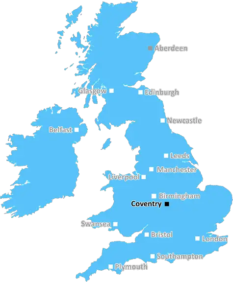
Coventry (CV13)
The CV13 postcode area is located in the Coventry postcode town region, within the county of Leicestershire, and contains a total of 388 individual postcodes.
There are 35 electoral wards in the CV13 postcode area, including Atherstone, Bedworth, Coventry, Kenilworth, Leamington Spa, Nuneaton, Rugby, Shipston-On-Stour, Southam, Stratford-Upon-Avon, Warwick which come under the local authority of the Hinckley and Bosworth Council.
Combining the whole postcode region, 30% of people in CV13 are classed as having an AB social grade, (i.e. 'white-collar' middle-upper class), compared to 27% across the UK.
This does not mean that the people of CV13 are wealthier - or higher class - than average, but it can be an indication that the area may be prospering and desirable to live in.
The CV13 postcode is situated in the North Warwickshire district in the West Midlands region of England. It covers the towns of Coleshill, Water Orton and Wishaw and the villages of Shustoke and Kingsbury. It covers an area of approximately 44.78 km2. The postcode falls within the Coventry travel to work area.
The majority of dwellings in the CV13 postcode are semi-detached or terraced houses with substantial gardens. The area is considered to be relatively affluent, with an above-average proportion of residents employed in highly skilled occupations.
The highest percentage of residents are aged between 25 and 44, while 16-24 year olds make up the second highest age group. The majority of its residents (85%) are White British, with Asian and White Other populations making up 3% and 4% respectively. The majority of residents fall in the highest categories in terms of employment and education, while a minority are unemployed or economically inactive.
The primary school located in the CV13 postcode is Shustoke CofE Primary School. There are no secondary schools located in the postcode area; however, the nearest ones include Atherstone and Higham Lane. Other local amenities include shops, restaurants, pubs and sports grounds.
In terms of public transport the area is well connected, with several routes running into Coventry. The nearest railway station is Water Orton and the nearest airport is Birmingham Airport.
The area has outstanding natural beauty, with green spaces and waterways criss-crossing through the countryside. Public parks located in the postcode include Twycross Country Park, Cotterills Nature Reserve and Arbury Hall. In terms of higher education the nearest university is the University of Wolverhampton.

Demographics
Leicestershire

CV13 is located in the county of Leicestershire, in England.
Leicestershire has a total population of 1,031,300, making it the 21st largest county in the UK.
Leicestershire has a total area of 832 square miles, and a population density of 478 people per square kilometre. For comparison, Greater London has a density of 5,618 people/km2.
| Outward Code | CV13 |
| Postal Town | Coventry |
| MSOA Name | Hinckley and Bosworth 008 |
| LSOA Name | Hinckley and Bosworth 008B |
| County | Leicestershire |
| Region | Leicestershire |
| Country | England |
| Local Authority | Hinckley and Bosworth |
| Area Classification | Largely Rural (rural including hub towns 50-79%) |
CV13 Electoral Wards
The postal region of CV13, includes the local towns, villages, electoral wards and stations of:
Dig even deeper into the CV13 postcode by clicking on a postcode below:
Click on an outward postal code below for more information about the area. Each 'outward' postcode give you a comprehensive list of all postcodes within the outward code area (CV) and estimated address.
Click on an 'outward' code for more information. For example, the outward postcode page 'EC2M' will give you an alphabetical list covering all postcodes located in the region, from 'EC2M 1BB' through to 'EC2M 7YA'.
KLB, Coventry
Friday, April 30, 2021
Our village is under siege from speculative property developers. It is frustrating living in a leicestershire village, paying local taxes to hinckley & bosworth, living in a leicestershire constituency- having leicestershire NHS. However my address is Nuneaton, Warwickshire? Englands counties originate from Saxons and are trampled on by arbitory post codes.
Add your view of CV13
People need your local expertise. If you live in CV13 or have first-hand knowledge of the neighbourhood, please consider sharing your views. It's completely anonymous - all we ask is for your initials.
Please tell us what you like about the CV13 postcode area, what you don't like, and what it's like to live or work here.
| LOCAL AMENITIES | |
| FAMILY FRIENDLY | |
| PARKING | |
| GREEN SPACES |
Local News Warwickshire
New play area for Bishop's Tachbrook
Just in time for Spring, children and families can now enjoy an exciting new play area at Anchitel Green in Bishop's Tachbrook.
Warwick District CouncilRainbow-like pattern spotted on planet outside solar system
Scientists think the phenomenon could be beaming from an ultra-hot planet similar to Jupiter.
BBC NewsCastle Farm Leisure Centre hosts successful open day featuring special guest Colin Jackson
Hundreds of people from the local community came along to a free open day on Saturday 24 February to celebrate the official opening of Castle Farm Leisure Centre in Kenilworth.
Warwick District CouncilFamily hope cardiac screening will help others
A family is hoping to create a lasting memorial for the much-loved son.
BBC NewsUnlocking low carbon adoption: The Warwickshire Business Energy Advice Service
A new Business Energy Advice Service has launched across Warwickshire.
Warwick District CouncilKashif ton puts Worcestershire on top at Bears
Kashif Ali scores his maiden first-class century as Worcestershire enjoy a good first day with the bat at Warwickshire.
BBC NewsTwo Kitching own goals as Coventry lose to Cardiff
Two Liam Kitching own goals hurt Coventry City's Championship play-off hopes as they lose at home to Cardiff City.
BBC NewsTeenage market to set up stall in three towns
The Teenage Market was set up by brothers Joe and Tom Barratt about 12 years ago.
BBC NewsFrom the Postcode Area blog

Deciphering Crime Rates - a Deep Dive Into UK Postcode Analysis
Ever wondered about the crime rate in your UK postcode? You're not alone. We've dug deep into the data, uncovering trends and patterns that'll make your head spin.

Death of the High Street?
The BBC reports that despite councils' attempts to kurb them, the UK's high streets have seen a huge growth in fast food outlets. Could this mark the death knell for the Great British high street, and what can we do about it to halt its decline?

Discrimination by Postcode
You really couldn't make it up, could you? Some of the country's most vulnerable people are missing out on their weekly £25 Cold Weather Payment, just because the system that's in operation is discriminating against them because payments are based on postcode, rather than geographic location.

The Redesign is Underway
Well, the current website was absolutely in dire need of a good redesign - from the ground up. So I set out to pull it all apart and get it up and running again to become the most comprehensive guide to every postcode in the UK. And it's been a long, tough job from start to finish - and quite possibly the biggest project I've ever undertaken.
SOCIAL GRADES
According to census records, 30% of people here have a social grade of AB (highest), compared to the national average of 27%.