northampton NN4 Postcodes
Spending a fortune on conveyancing?

Compare instant, low-cost online quotes from trusted conveyancing solicitors.
Backed by experts, our no-obligation service searches through the best conveyancing quotes on the market to save you time and money.
Northampton (NN4)
The NN4 postcode area is located in the Northampton postcode town region, within the county of Northamptonshire, and contains a total of 1694 individual postcodes.
There are 16 electoral wards in the NN4 postcode area, including Brackley, Corby, Daventry, Kettering, Northampton, Rushden, Towcester, Wellingborough which come under the local authority of the Northampton Council.
Combining the whole postcode region, 27% of people in NN4 are classed as having an AB social grade, (i.e. 'white-collar' middle-upper class), compared to 27% across the UK.
This does not mean that the people of NN4 are poorer than other areas, but it may give an indication that there are areas of deprivation.
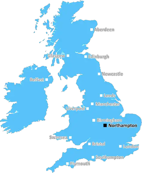
NN4 postcode covers the larger part of the town of Northampton, located in the South East Midlands in England. It is mainly residential, although there are also some industrial, business, and retail areas. It is the most densely populated area of Northamptonshire in the East Midlands.
The town is served by Northampton railway station which has services to London and Birmingham, as well as local connections to towns across the East Midlands. The M1 motorway is easily accessible from the postcode area, and there are numerous bus links.
Historically, Northampton was known as a boot and shoe manufacturing centre and is still home to smaller footwear factories which produce bespoke products. It is also a modern hub for business, with large employers such as National Grid, the University of Northampton, and Travis Perkins. The postcode is also home to many high-street stores, independent retailers, banks, and bars.
The area is popular with families, particularly those looking to buy a home, due to its good schools, parks, and green spaces. There are various attractions, such as both indoor and outdoor shopping, leisure and entertainment complexes, and Northampton Castle, as well as a lively nightlife scene.
NN4 postcode has a diverse range of housing, from a mixture of terraced and detached homes, to new developments and housing estates. Northampton is both a thriving market town and a pleasant place to live and work. It is well-connected to the rest of the country and offers easy access to other towns, such as Milton Keynes, Rugby, and Coventry through its strong road and rail connections.

Demographics

Northamptonshire

NN4 is located in the county of Northamptonshire, in England.
Northamptonshire has a total population of 733,100, making it the 33rd largest county in the UK.
Northamptonshire has a total area of 913 square miles, and a population density of 310 people per square kilometre. For comparison, Greater London has a density of 5,618 people/km2.
| Outward Code | NN4 |
| Postal Town | Northampton |
| MSOA Name | Northampton 028 |
| LSOA Name | Northampton 028D |
| County | Northamptonshire |
| Region | Northamptonshire |
| Country | England |
| Local Authority | Northampton |
| Area Classification | Urban with City and Town |
NN4 Electoral Wards
The postal region of NN4, includes the local towns, villages, electoral wards and stations of:
Dig even deeper into the NN4 postcode by clicking on a postcode below:
Click on an outward postal code below for more information about the area. Each 'outward' postcode give you a comprehensive list of all postcodes within the outward code area (NN) and estimated address.
Click on an 'outward' code for more information. For example, the outward postcode page 'EC2M' will give you an alphabetical list covering all postcodes located in the region, from 'EC2M 1BB' through to 'EC2M 7YA'.
MM, northampton
Saturday, November 3, 2018
It is a good area. My family like it. There are schools, park, shop, post office. All needs a family.
Add your view of NN4
People need your local expertise. If you live in NN4 or have first-hand knowledge of the neighbourhood, please consider sharing your views. It's completely anonymous - all we ask is for your initials.
Please tell us what you like about the NN4 postcode area, what you don't like, and what it's like to live or work here.
| LOCAL AMENITIES | |
| FAMILY FRIENDLY | |
| PARKING | |
| GREEN SPACES |
Local News Northamptonshire
Man jailed for terrifying assault' on ex-partner
The woman woke to find Lewis Bland trying to suffocate her at their shared flat.
BBC NewsDerek from Northants: 'I lived with armed bandits'
Northampton born Derek Adams has spent his life trekking the world for charity
BBC NewsNorthampton Town completes East Stand land deal
Cobblers' chairman Kelvin Thomas says new CGI images will be revealed "in the very near future".
BBC NewsWeather hits opening day of Sussex v Northants
Northamptonshire's batters enjoy the better of the 38.1 overs that are possible on day one against Sussex.
BBC NewsReading 1-0 Northampton Town
Reading eased their League One relegation fears with a hard-earned home victory over mid-table Northampton.
BBC NewsSEND services inspection 'too early' council says
Ofsted and the Care Quality Commission (CQC) looked at the provision last month.
BBC NewsThe Zutons: 'Northampton crowds are amazing'
Abi and Sean from The Zutons talk about playing Northampton and working with Nile Rodgers
BBC NewsClinical Saints see off Sarries to extend lead
James Ramm scores twice as Northampton see off Saracens at Franklin's Gardens to extend their Premiership lead.
BBC NewsFrom the Postcode Area blog

Deciphering Crime Rates - a Deep Dive Into UK Postcode Analysis
Ever wondered about the crime rate in your UK postcode? You're not alone. We've dug deep into the data, uncovering trends and patterns that'll make your head spin.

Death of the High Street?
The BBC reports that despite councils' attempts to kurb them, the UK's high streets have seen a huge growth in fast food outlets. Could this mark the death knell for the Great British high street, and what can we do about it to halt its decline?

Discrimination by Postcode
You really couldn't make it up, could you? Some of the country's most vulnerable people are missing out on their weekly £25 Cold Weather Payment, just because the system that's in operation is discriminating against them because payments are based on postcode, rather than geographic location.

The Redesign is Underway
Well, the current website was absolutely in dire need of a good redesign - from the ground up. So I set out to pull it all apart and get it up and running again to become the most comprehensive guide to every postcode in the UK. And it's been a long, tough job from start to finish - and quite possibly the biggest project I've ever undertaken.
SOCIAL GRADES
According to census records, 27% of people here have a social grade of AB (highest), compared to the national average of 27%.