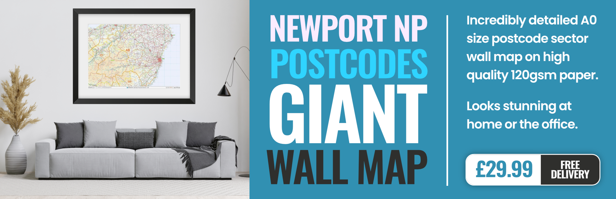
newport NP26 Postcodes
Spending a fortune on conveyancing?

Compare instant, low-cost online quotes from trusted conveyancing solicitors.
Backed by experts, our no-obligation service searches through the best conveyancing quotes on the market to save you time and money.
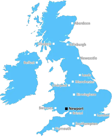
Newport (NP26)
The NP26 postcode area is located in the Newport postcode town region, within the county of Gwent, and contains a total of 740 individual postcodes.
There are 44 electoral wards in the NP26 postcode area, including Abergavenny, Abertillery, Blackwood, Caldicot, Chepstow, Crickhowell, Cwmbran, Ebbw Vale, Monmouth, New Tredegar, Newport, Pontypool, Tredegar, Usk which come under the local authority of the Newport Council.
Combining the whole postcode region, 26% of people in NP26 are classed as having an AB social grade, (i.e. 'white-collar' middle-upper class), compared to 27% across the UK.
This does not mean that the people of NP26 are poorer than other areas, but it may give an indication that there are areas of deprivation.
NP26 is a postcode in the Newport district of South Wales, UK. It includes the town of Newport and the surrounding villages of Caerleon, Goldcliff, Langstone, Marshfield, Murhur, Nash, and Redwick. It has a population of around 29,000 people.
The NP26 postcode district covers approximately 25 square miles and is located to the east of the Newport city centre. It is bordered by the NP18 and NP19 postcodes to the north, NP27 and NP3 to the west, and NP10 to the south.
The area is well connected by road, rail, and bus networks. The M4 motorway is just a short drive away with regular trains running east-west between Cardiff and Newport as well as local bus services.
The area has a range of attractions and amenities including the Newport Wetlands Reserve, the Roman legionary fortress and amphitheatre of Caerleon, and the cemetery and reserve of St Woolos. There are various shopping outlets, cafes, restaurants, and pubs, and four large parks: Belle Vue Park, Glan Usk Recreation Ground, Pillmawr Park, and Military Road Park.
For the younger generations, the area is served by a range of elementary, middle, and secondary schools, as well as Newport College for further education. There is also The Junction youth centre providing activities, support, and guidance for 12 to 25-year-olds.
The area is served by four libraries, a fire station, two police stations, and a health clinic. The Welsh Ambulance Service and the Newport Royal Gwent Hospital Trust cover most of the larger medical emergency services.
It is an area with a diverse range of people hailing from a variety of backgrounds, cultures, and religions, making up a vibrant and dynamic community.

Demographics
Gwent

NP26 is located in the county of Gwent, in Wales.
Gwent has a total population of 0, making it the largest county in the UK.
Gwent has a total area of square miles, and a population density of people per square kilometre. For comparison, Greater London has a density of 5,618 people/km2.
| Outward Code | NP26 |
| Postal Town | Newport |
| MSOA Name | Newport 004 |
| LSOA Name | Newport 004B |
| County | Gwent |
| Region | Gwent |
| Country | Wales |
| Local Authority | Newport |
| Area Classification | Unclassified |
NP26 Electoral Wards
The postal region of NP26, includes the local towns, villages, electoral wards and stations of:
Dig even deeper into the NP26 postcode by clicking on a postcode below:
Click on an outward postal code below for more information about the area. Each 'outward' postcode give you a comprehensive list of all postcodes within the outward code area (NP) and estimated address.
Click on an 'outward' code for more information. For example, the outward postcode page 'EC2M' will give you an alphabetical list covering all postcodes located in the region, from 'EC2M 1BB' through to 'EC2M 7YA'.
Chris H
Monday, April 8, 2024
We don't have any views of NP26 right now. If you live in NP26 or have visited it, please help us to help others by telling others what you think of this neighbourhood.
Add your view of NP26
People need your local expertise. If you live in NP26 or have first-hand knowledge of the neighbourhood, please consider sharing your views. It's completely anonymous - all we ask is for your initials.
Please tell us what you like about the NP26 postcode area, what you don't like, and what it's like to live or work here.
| LOCAL AMENITIES | |
| FAMILY FRIENDLY | |
| PARKING | |
| GREEN SPACES |
From the Postcode Area blog

Deciphering Crime Rates - a Deep Dive Into UK Postcode Analysis
Ever wondered about the crime rate in your UK postcode? You're not alone. We've dug deep into the data, uncovering trends and patterns that'll make your head spin.

Death of the High Street?
The BBC reports that despite councils' attempts to kurb them, the UK's high streets have seen a huge growth in fast food outlets. Could this mark the death knell for the Great British high street, and what can we do about it to halt its decline?

Discrimination by Postcode
You really couldn't make it up, could you? Some of the country's most vulnerable people are missing out on their weekly £25 Cold Weather Payment, just because the system that's in operation is discriminating against them because payments are based on postcode, rather than geographic location.

The Redesign is Underway
Well, the current website was absolutely in dire need of a good redesign - from the ground up. So I set out to pull it all apart and get it up and running again to become the most comprehensive guide to every postcode in the UK. And it's been a long, tough job from start to finish - and quite possibly the biggest project I've ever undertaken.
SOCIAL GRADES
According to census records, 26% of people here have a social grade of AB (highest), compared to the national average of 27%.