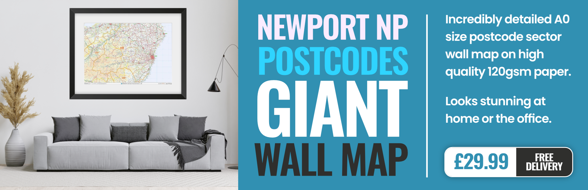
newport NP18 Postcodes
Spending a fortune on conveyancing?

Compare instant, low-cost online quotes from trusted conveyancing solicitors.
Backed by experts, our no-obligation service searches through the best conveyancing quotes on the market to save you time and money.
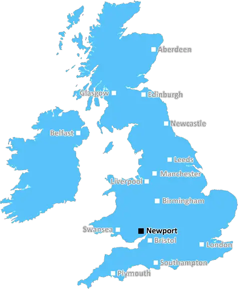
Newport (NP18)
The NP18 postcode area is located in the Newport postcode town region, within the county of Gwent, and contains a total of 553 individual postcodes.
There are 51 electoral wards in the NP18 postcode area, including Abergavenny, Abertillery, Blackwood, Caldicot, Chepstow, Crickhowell, Cwmbran, Ebbw Vale, Monmouth, New Tredegar, Newport, Pontypool, Tredegar, Usk which come under the local authority of the Newport Council.
Combining the whole postcode region, 24% of people in NP18 are classed as having an AB social grade, (i.e. 'white-collar' middle-upper class), compared to 27% across the UK.
This does not mean that the people of NP18 are poorer than other areas, but it may give an indication that there are areas of deprivation.
The NP18 postcode covers an area of Newport, South Wales, in the south east of the city. It covers areas such as Alway, Beechwood, Chartist/Malpas, Enfield, Fairwater, Llanwern, Maindee, Marshfield and Summerhill.
Alway is a suburb of Newport located next to the M4 motorway which runs through the city, and is primarily residential in nature. Beechwood is a relatively small suburb, situated to the north of Newport, with a good selection of local amenities such as shops and schools. Chartist is a ward in Newport that is bordered by the M4 motorway, named for the Chartist Movement of the 19th century which was active in the local area. Malpas is an affluent area in the north east of the city, that has a large affluent population, and a good range of local amenities. Enfield is a residential area situated in the south east of Newport, that has become increasingly popular in recent years, due to its convenient location and easy transportation links. Fairwater is a residential suburb, situated on the west side of Newport, close to Castleton. Llanwern is a residential suburb, situated in the north east of the city, close to the M4 motorway and the University of South Wales. Maindee is an area of Newport, situated in the north east of the city, close to the River Usk. It is well known for its town square which was redeveloped in the late 20th century, and its local amenities and leisure facilities. Marshfield is a residential area situated in the west side of Newport, that has become increasingly popular in recent years, due to its convenient location and easy transportation links. Summerhill is an affluent suburban area in the north of Newport, that's highly regarded for its good schooling options and leafy suburbs.
In terms of transportation links, Newport has excellent road and rail services. The M4 motorway runs through the city and connects it to Cardiff, Bristol and London. There are frequent bus services that run from the city centre to the surrounding areas in NP18. Newport train station provides regular services to London Paddington, Swansea and Cardiff.

Demographics
Gwent

NP18 is located in the county of Gwent, in Wales.
Gwent has a total population of 0, making it the largest county in the UK.
Gwent has a total area of square miles, and a population density of people per square kilometre. For comparison, Greater London has a density of 5,618 people/km2.
| Outward Code | NP18 |
| Postal Town | Newport |
| MSOA Name | Newport 001 |
| LSOA Name | Newport 001A |
| County | Gwent |
| Region | Gwent |
| Country | Wales |
| Local Authority | Newport |
| Area Classification | Unclassified |
NP18 Electoral Wards
The postal region of NP18, includes the local towns, villages, electoral wards and stations of:
Dig even deeper into the NP18 postcode by clicking on a postcode below:
Click on an outward postal code below for more information about the area. Each 'outward' postcode give you a comprehensive list of all postcodes within the outward code area (NP) and estimated address.
Click on an 'outward' code for more information. For example, the outward postcode page 'EC2M' will give you an alphabetical list covering all postcodes located in the region, from 'EC2M 1BB' through to 'EC2M 7YA'.
Chris H
Sunday, April 7, 2024
We don't have any views of NP18 right now. If you live in NP18 or have visited it, please help us to help others by telling others what you think of this neighbourhood.
Add your view of NP18
People need your local expertise. If you live in NP18 or have first-hand knowledge of the neighbourhood, please consider sharing your views. It's completely anonymous - all we ask is for your initials.
Please tell us what you like about the NP18 postcode area, what you don't like, and what it's like to live or work here.
| LOCAL AMENITIES | |
| FAMILY FRIENDLY | |
| PARKING | |
| GREEN SPACES |
From the Postcode Area blog

Deciphering Crime Rates - a Deep Dive Into UK Postcode Analysis
Ever wondered about the crime rate in your UK postcode? You're not alone. We've dug deep into the data, uncovering trends and patterns that'll make your head spin.

Death of the High Street?
The BBC reports that despite councils' attempts to kurb them, the UK's high streets have seen a huge growth in fast food outlets. Could this mark the death knell for the Great British high street, and what can we do about it to halt its decline?

Discrimination by Postcode
You really couldn't make it up, could you? Some of the country's most vulnerable people are missing out on their weekly £25 Cold Weather Payment, just because the system that's in operation is discriminating against them because payments are based on postcode, rather than geographic location.

The Redesign is Underway
Well, the current website was absolutely in dire need of a good redesign - from the ground up. So I set out to pull it all apart and get it up and running again to become the most comprehensive guide to every postcode in the UK. And it's been a long, tough job from start to finish - and quite possibly the biggest project I've ever undertaken.
SOCIAL GRADES
According to census records, 24% of people here have a social grade of AB (highest), compared to the national average of 27%.