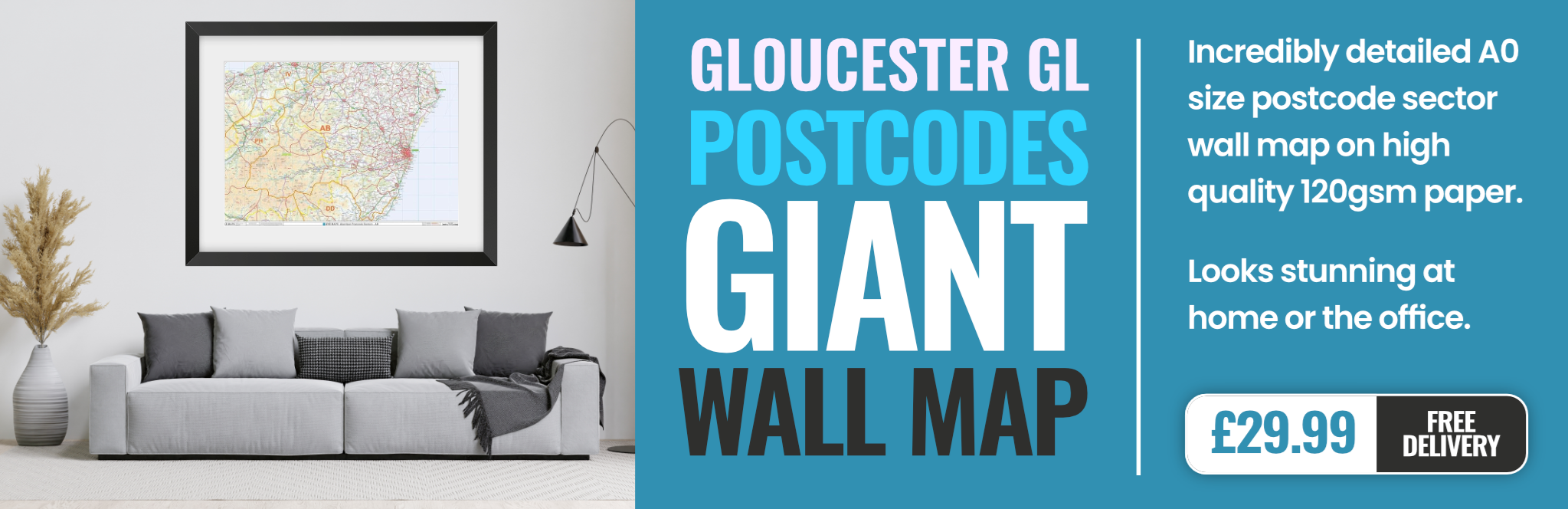
gloucester GL14 Postcodes
Spending a fortune on conveyancing?

Compare instant, low-cost online quotes from trusted conveyancing solicitors.
Backed by experts, our no-obligation service searches through the best conveyancing quotes on the market to save you time and money.
Gloucester (GL14)
The GL14 postcode area is located in the Gloucester postcode town region, within the county of Gloucestershire, and contains a total of 700 individual postcodes.
There are 66 electoral wards in the GL14 postcode area, including Badminton, Berkeley, Blakeney, Cheltenham, Chipping Campden, Cinderford, Cirencester, Coleford, Drybrook, Dursley, Dymock, Fairford, Gloucester, Lechlade, Longhope, Lydbrook, Lydney, Mitcheldean, Moreton-In-Marsh, Newent, Newnham, Ruardean, Stonehouse, Stroud, Tetbury, Tewkesbury, Westbury-On-Severn, Wotton-Under-Edge which come under the local authority of the Forest of Dean Council.
Combining the whole postcode region, 17% of people in GL14 are classed as having an AB social grade, (i.e. 'white-collar' middle-upper class), compared to 27% across the UK.
This does not mean that the people of GL14 are poorer than other areas, but it may give an indication that there are areas of deprivation.
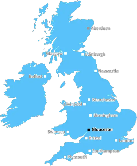
GL14 is a postcode which is found in the county of Gloucestershire in southwest England. It covers an area to the north and east of Gloucester, including the villages of Taynton, Woodmancote, Corse, and Cowley. The GL14 postcode also covers parts of Gloucester itself, including the city centre, and the parish of Linden.
GL14 is part of the Gloucester post town, and is a non-geographic postcode district, meaning it does not represent a specific location, but is instead used for addresses which cross traditional postcode boundaries.
The GL14 postcode district is made up of two postcode areas - GL14 0 and GL14 1. GL14 0 covers addresses in the north and east of Gloucester, and includes Linden, Woodmancote, Corse, and Taynton. GL14 1 covers the city centre of Gloucester, and is used for all non-geographic addresses in the region such as Buckingham Street, Gloucester.
GL14 0 postcodes are divided into 11 postcode sectors with the alphabetical boundaries ranging from GL14 0AA to GL14 0JT. Within the GL14 0 postcode area there are over 2,000 postcodes, with the average number of homes per postcode being around 25.
Meanwhile, GL14 1 postcodes are divided into five sectors with the alphabetical boundaries ranging from GL14 1AA to GL14 1JY. As this is a non-geographic postcode district, the total number of postcodes is much lower, with only 41 being used in the GL14 1 area.
The nearest main line railway station to GL14 postcode is Gloucester, and there is also access to a number of local bus services provided by First Group which connect GL14 postcode to a range of destinations in Gloucestershire.
GL14 postcode is home to a number of schools and educational establishments, including Gloucester Academy, Hatherley Infant & Nursery School, and Painswick Primary School. In terms of leisure activities, there are options such as Gloucester Ski Centre and Gloucester Cathedral, plus a number of recreational parks including Barnwood Rye Park and Robinswood Hill Country Park.

Demographics
Gloucestershire

GL14 is located in the county of Gloucestershire, in England.
Gloucestershire has a total population of 900,800, making it the 23rd largest county in the UK.
Gloucestershire has a total area of 1216 square miles, and a population density of 285 people per square kilometre. For comparison, Greater London has a density of 5,618 people/km2.
| Outward Code | GL14 |
| Postal Town | Gloucester |
| MSOA Name | Forest of Dean 005 |
| LSOA Name | Forest of Dean 005C |
| County | Gloucestershire |
| Region | Gloucestershire |
| Country | England |
| Local Authority | Forest of Dean |
| Area Classification | Mainly Rural (rural including hub towns >=80%) |
GL14 Electoral Wards
The postal region of GL14, includes the local towns, villages, electoral wards and stations of:
Dig even deeper into the GL14 postcode by clicking on a postcode below:
Click on an outward postal code below for more information about the area. Each 'outward' postcode give you a comprehensive list of all postcodes within the outward code area (GL) and estimated address.
Click on an 'outward' code for more information. For example, the outward postcode page 'EC2M' will give you an alphabetical list covering all postcodes located in the region, from 'EC2M 1BB' through to 'EC2M 7YA'.
Chris H
Tuesday, May 7, 2024
We don't have any views of GL14 right now. If you live in GL14 or have visited it, please help us to help others by telling others what you think of this neighbourhood.
Add your view of GL14
People need your local expertise. If you live in GL14 or have first-hand knowledge of the neighbourhood, please consider sharing your views. It's completely anonymous - all we ask is for your initials.
Please tell us what you like about the GL14 postcode area, what you don't like, and what it's like to live or work here.
| LOCAL AMENITIES | |
| FAMILY FRIENDLY | |
| PARKING | |
| GREEN SPACES |
Local News Gloucestershire
Call for traffic lights at scene of multiple crashes
Drivers often approach the crossroads at high speed and properties have been hit, residents say.
BBC NewsExeter win at Gloucester to maintain play-off hopes
Exeter keep themselves in contention for the Premiership play-offs with a bonus-point 38-17 win over Gloucester.
BBC NewsListed lido opens for summer season
The lido is carrying on a tradition from 1935 by setting entry at 2p for its opening day.
BBC NewsThe creative hub in the heart of Gloucester
Jolt helps creatives find a space to work, with businesses from radio stations to clothing brands inside
BBC NewsTwo-decade Gloucester Tory reign ended by Lib Dems
Gloucester has no party with overall control but the Liberal Democrats are now the biggest party.
BBC NewsCotterill to stay at Forest Green after relegation
Forest Green manager Steve Cotterill will stay on at the club after their relegation to the National League.
BBC NewsForest Green Rovers 1-0 Notts County
Charlie McCann's second-half strike ensures already-relegated Forest Green finish their campaign with victory over Notts County.
BBC NewsDavies among seven players released by Cheltenham
Curtis Davies is one of seven players being released by Cheltenham Town after their relegation from League One.
BBC NewsFrom the Postcode Area blog

Deciphering Crime Rates - a Deep Dive Into UK Postcode Analysis
Ever wondered about the crime rate in your UK postcode? You're not alone. We've dug deep into the data, uncovering trends and patterns that'll make your head spin.

Death of the High Street?
The BBC reports that despite councils' attempts to kurb them, the UK's high streets have seen a huge growth in fast food outlets. Could this mark the death knell for the Great British high street, and what can we do about it to halt its decline?

Discrimination by Postcode
You really couldn't make it up, could you? Some of the country's most vulnerable people are missing out on their weekly £25 Cold Weather Payment, just because the system that's in operation is discriminating against them because payments are based on postcode, rather than geographic location.

The Redesign is Underway
Well, the current website was absolutely in dire need of a good redesign - from the ground up. So I set out to pull it all apart and get it up and running again to become the most comprehensive guide to every postcode in the UK. And it's been a long, tough job from start to finish - and quite possibly the biggest project I've ever undertaken.
SOCIAL GRADES
According to census records, 17% of people here have a social grade of AB (highest), compared to the national average of 27%.