manchester M9 Postcodes
Spending a fortune on conveyancing?

Compare instant, low-cost online quotes from trusted conveyancing solicitors.
Backed by experts, our no-obligation service searches through the best conveyancing quotes on the market to save you time and money.
Manchester (M9)
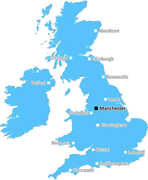
The M9 postcode area is located in the Manchester postcode town region, within the county of Greater Manchester, and contains a total of 1939 individual postcodes.
There are 7 electoral wards in the M9 postcode area, including Manchester, Sale, Salford which come under the local authority of the Manchester Council.
Combining the whole postcode region, 9% of people in M9 are classed as having an AB social grade, (i.e. 'white-collar' middle-upper class), compared to 27% across the UK.
This does not mean that the people of M9 are poorer than other areas, but it may give an indication that there are areas of deprivation.
The M9 postcode covers the Blackley district in Manchester, and consists of nine post towns - Moston, Middleton, Prestwich, Salford, Whitefield,Crumpsall,Radcliffe, Besses o' th' Barn and Harpurhey. It is located to the north of Manchester city centre, and is bordered by Oldham to the north, Salford to the east, Prestwich to the south, and Bury and Rochdale to the west.
Moston is a residential area known for its greenery, which also has some commercial and industrial establishments. The neighbourhood consists of terraced houses built in the late 19th century, interspersed with modern developments. It is served by Moston railway station, which is on the Manchester Metro link.
Middleton is a town located in Rochdale borough, and is home to Middleton Shopping Centre. This shopping centre contains a wide variety of stores, including fashion stores, banks and a supermarket.
Prestwich is a large suburb of Manchester, and also has some commercial and industrial establishments, which are mainly based around the town centre. It is home to Junction Retail Park ,which is one of the largest shopping centres in the UK.
Salford is an adjoining city to Manchester, and houses the University of Salford, as well as a large number of industrial and commercial establishments. It is also home to the Salford Quays, which is a large waterfront development consisting of parks, public art, museums and theatres.
Whitefield is a residential area just outside the Manchester city centre, and contains a wide range of shops, cafes, pubs and restaurants. It is home to many well-traversed places such as Whitefield Golf Club, which is a popular choice for golf enthusiasts.
Crumpsall is an area located in the north of Manchester, and consists of mainly terraced houses and some newer developments. It is home to many parks and green spaces, and is close to Heaton Park which is one of the largest parks in Greater Manchester.
Radcliffe is a residential area of Greater Manchester and is known for its Victorian architecture. It is home to the Radcliffe Market, which is a popular location for those looking to buy fresh foods and local produce.
Besses o' Th' Barn is an area that was historically a rural village, and is now considered a suburb of Manchester. It consists of mostly residential dwellings, but also includes some commercial establishments such as a post office and a few shops.
Harpurhey is a residential area located to the north of Manchester. It is home to many parks, green spaces, and leisure amenities, including Ardwick Sports Centre, which is used for a variety of sports activities.

Demographics

Greater Manchester

M9 is located in the county of Greater Manchester, in England.
Greater Manchester has a total population of 2,782,100, making it the 3rd largest county in the UK.
Greater Manchester has a total area of 492 square miles, and a population density of 2180 people per square kilometre. For comparison, Greater London has a density of 5,618 people/km2.
| Outward Code | M9 |
| Postal Town | Manchester |
| MSOA Name | Manchester 001 |
| LSOA Name | Manchester 001A |
| County | Greater Manchester |
| Region | Greater Manchester |
| Country | England |
| Local Authority | Manchester |
| Area Classification | Urban with Major Conurbation |
M9 Electoral Wards
The postal region of M9, includes the local towns, villages, electoral wards and stations of:
Dig even deeper into the M9 postcode by clicking on a postcode below:
Click on an outward postal code below for more information about the area. Each 'outward' postcode give you a comprehensive list of all postcodes within the outward code area (M) and estimated address.
Click on an 'outward' code for more information. For example, the outward postcode page 'EC2M' will give you an alphabetical list covering all postcodes located in the region, from 'EC2M 1BB' through to 'EC2M 7YA'.
Chris H
Saturday, April 6, 2024
We don't have any views of M9 right now. If you live in M9 or have visited it, please help us to help others by telling others what you think of this neighbourhood.
Add your view of M9
People need your local expertise. If you live in M9 or have first-hand knowledge of the neighbourhood, please consider sharing your views. It's completely anonymous - all we ask is for your initials.
Please tell us what you like about the M9 postcode area, what you don't like, and what it's like to live or work here.
| LOCAL AMENITIES | |
| FAMILY FRIENDLY | |
| PARKING | |
| GREEN SPACES |
From the Postcode Area blog

Deciphering Crime Rates - a Deep Dive Into UK Postcode Analysis
Ever wondered about the crime rate in your UK postcode? You're not alone. We've dug deep into the data, uncovering trends and patterns that'll make your head spin.

Death of the High Street?
The BBC reports that despite councils' attempts to kurb them, the UK's high streets have seen a huge growth in fast food outlets. Could this mark the death knell for the Great British high street, and what can we do about it to halt its decline?

Discrimination by Postcode
You really couldn't make it up, could you? Some of the country's most vulnerable people are missing out on their weekly £25 Cold Weather Payment, just because the system that's in operation is discriminating against them because payments are based on postcode, rather than geographic location.

The Redesign is Underway
Well, the current website was absolutely in dire need of a good redesign - from the ground up. So I set out to pull it all apart and get it up and running again to become the most comprehensive guide to every postcode in the UK. And it's been a long, tough job from start to finish - and quite possibly the biggest project I've ever undertaken.
SOCIAL GRADES
According to census records, 9% of people here have a social grade of AB (highest), compared to the national average of 27%.